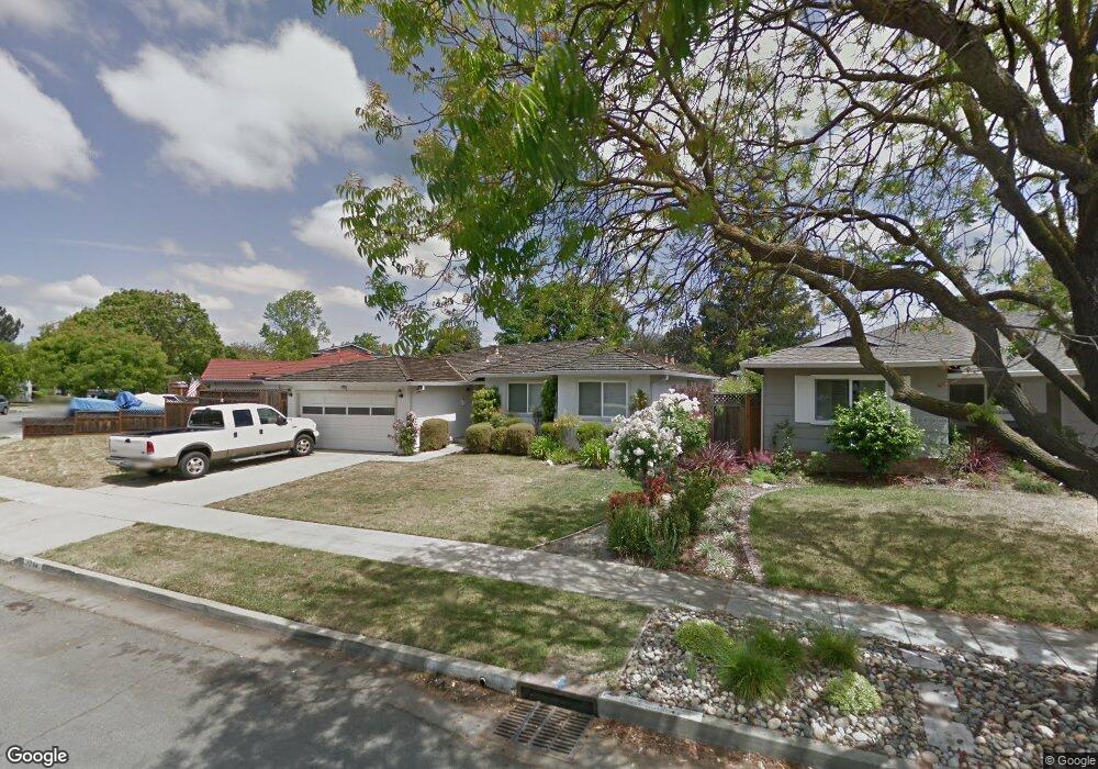
1784 Michon Dr Unit 53321 San Jose, CA 95124
De Voss-Leigh NeighborhoodEstimated Value: $1,808,579 - $2,213,000
3
Beds
2
Baths
1,440
Sq Ft
$1,417/Sq Ft
Est. Value
About This Home
This home is located at 1784 Michon Dr Unit 53321, San Jose, CA 95124 and is currently estimated at $2,040,145, approximately $1,416 per square foot. 1784 Michon Dr Unit 53321 is a home located in Santa Clara County with nearby schools including Noddin Elementary School, Union Middle School, and Leigh High School.
Ownership History
Date
Name
Owned For
Owner Type
Purchase Details
Closed on
Aug 6, 2025
Sold by
Zanotti David and Zanotti Colleen
Bought by
Zanotti Living Trust and Zanotti
Current Estimated Value
Purchase Details
Closed on
Jan 7, 2002
Sold by
Zanotti David M
Bought by
Zanotti David M
Purchase Details
Closed on
Oct 12, 1993
Sold by
Pugno Lawrence and Pugno Virginia
Bought by
Zanotti David
Create a Home Valuation Report for This Property
The Home Valuation Report is an in-depth analysis detailing your home's value as well as a comparison with similar homes in the area
Home Values in the Area
Average Home Value in this Area
Purchase History
| Date | Buyer | Sale Price | Title Company |
|---|---|---|---|
| Zanotti Living Trust | -- | None Listed On Document | |
| Zanotti David | -- | None Listed On Document | |
| Zanotti David M | -- | -- | |
| Zanotti David | $60,000 | First American Title Guarant |
Source: Public Records
Tax History Compared to Growth
Tax History
| Year | Tax Paid | Tax Assessment Tax Assessment Total Assessment is a certain percentage of the fair market value that is determined by local assessors to be the total taxable value of land and additions on the property. | Land | Improvement |
|---|---|---|---|---|
| 2025 | $3,034 | $108,901 | $24,454 | $84,447 |
| 2024 | $3,034 | $106,767 | $23,975 | $82,792 |
| 2023 | $2,935 | $104,674 | $23,505 | $81,169 |
| 2022 | $2,893 | $102,623 | $23,045 | $79,578 |
| 2021 | $2,781 | $100,612 | $22,594 | $78,018 |
| 2020 | $2,676 | $99,582 | $22,363 | $77,219 |
| 2019 | $2,601 | $97,630 | $21,925 | $75,705 |
| 2018 | $2,534 | $95,717 | $21,496 | $74,221 |
| 2017 | $2,492 | $93,841 | $21,075 | $72,766 |
| 2016 | $2,380 | $92,002 | $20,662 | $71,340 |
| 2015 | $2,338 | $90,621 | $20,352 | $70,269 |
| 2014 | $1,910 | $88,847 | $19,954 | $68,893 |
Source: Public Records
Map
Nearby Homes
- 4843 Pepperwood Way
- 0000 Harwood Rd
- 1772 Conrad Ave
- 4927 Leigh Ave
- 1796 Chevalier Dr
- 1721 Ross Cir
- 5066 Carter Ave
- 1719 Ross Cir
- 4848 Anna Dr
- 1742 Del Paso Ave
- 4867 Anna Dr
- 1957 Wilfred Way
- 4216 Camden Ave
- 1684 Tupolo Dr
- 1705 Blossom Hill Rd
- 5485 Sharon Ln
- 1599 Rebel Way
- 5545 Laura Dr
- 14510 Blossom Hill Rd
- 1638 Branham Ln Unit D