17840 Breezy Point Rd Wayzata, MN 55391
Estimated Value: $1,934,000 - $2,653,000
5
Beds
5
Baths
164
Sq Ft
$14,767/Sq Ft
Est. Value
About This Home
This home is located at 17840 Breezy Point Rd, Wayzata, MN 55391 and is currently estimated at $2,421,867, approximately $14,767 per square foot. 17840 Breezy Point Rd is a home located in Hennepin County with nearby schools including Groveland Elementary School, Minnetonka East Middle School, and Minnetonka Senior High School.
Ownership History
Date
Name
Owned For
Owner Type
Purchase Details
Closed on
May 20, 2021
Sold by
Lovaas Mark E
Bought by
Lovaas Mark E and Mark E Lovaas Revocable Trust
Current Estimated Value
Purchase Details
Closed on
Dec 27, 2018
Sold by
Rich Chris Chris
Bought by
Kenney John John
Home Financials for this Owner
Home Financials are based on the most recent Mortgage that was taken out on this home.
Interest Rate
4.55%
Purchase Details
Closed on
Jun 7, 2016
Sold by
Lovaas Kati and Lovaas Katarina S
Bought by
Lovaas Mark E
Home Financials for this Owner
Home Financials are based on the most recent Mortgage that was taken out on this home.
Original Mortgage
$1,383,695
Interest Rate
2.87%
Mortgage Type
Adjustable Rate Mortgage/ARM
Create a Home Valuation Report for This Property
The Home Valuation Report is an in-depth analysis detailing your home's value as well as a comparison with similar homes in the area
Purchase History
| Date | Buyer | Sale Price | Title Company |
|---|---|---|---|
| Lovaas Mark E | -- | None Available | |
| Kenney John John | $200,000 | -- | |
| Lovaas Mark E | -- | Attorney |
Source: Public Records
Mortgage History
| Date | Status | Borrower | Loan Amount |
|---|---|---|---|
| Closed | Kenney John John | -- | |
| Previous Owner | Lovaas Mark E | $1,383,695 |
Source: Public Records
Tax History
| Year | Tax Paid | Tax Assessment Tax Assessment Total Assessment is a certain percentage of the fair market value that is determined by local assessors to be the total taxable value of land and additions on the property. | Land | Improvement |
|---|---|---|---|---|
| 2024 | $26,939 | $2,280,500 | $1,534,300 | $746,200 |
| 2023 | $23,618 | $2,110,300 | $1,394,800 | $715,500 |
| 2022 | $20,910 | $1,990,000 | $1,328,000 | $662,000 |
| 2021 | $19,444 | $1,686,000 | $1,104,000 | $582,000 |
| 2020 | $17,741 | $1,565,000 | $1,082,000 | $483,000 |
| 2019 | $17,969 | $1,370,000 | $902,000 | $468,000 |
| 2018 | $18,106 | $1,376,000 | $902,000 | $474,000 |
| 2017 | $18,229 | $1,380,000 | $902,000 | $478,000 |
| 2016 | $18,224 | $1,355,000 | $861,000 | $494,000 |
| 2015 | $16,673 | $1,236,000 | $779,000 | $457,000 |
| 2014 | -- | $1,157,000 | $738,000 | $419,000 |
Source: Public Records
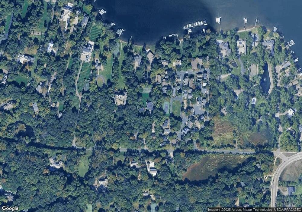
Map
Nearby Homes
- 17870 Breezy Point Rd
- 17945 Breezy Point Rd
- 2918 County Road 101 S
- 2670 Woolsey Ln
- 3114 County Road 101 S
- 32xx County Road 101 S
- 3205 County Road 101
- 17209 Grays Bay Blvd
- 2505 Cedar Point Dr
- 17435 Sanctuary Dr
- 16919 Cottage Grove Ave
- 18445 Northome Blvd
- 2770 Gale Rd
- 3061 Lake Shore Blvd
- 3237 Shores Blvd
- TBD1 Bushaway Rd
- TBD3 Bushaway Rd
- TBD2 Bushaway Rd
- 3115 Lake Shore Blvd
- 3551 Lilac Ln
- 2830 West Rd
- 2850 West Rd
- 2800 West Rd
- 2845 2845 Rd W
- 2845 2845 West-Road-
- 2860 West Rd
- 2845 West Rd
- 17950 Breezy Point Rd
- 17950 Breezy Point Rd
- 17950 Breezy Rd
- 2780 West Rd
- 2830 Center Rd
- 2880 West Rd
- 17850 Breezy Point Rd
- 2885 West Rd
- 17950 & 18000 Breezy Point Rd
- 2835 West Rd
- 2845 Center Rd
- 2770 West Rd
- 2890 West Rd
Your Personal Tour Guide
Ask me questions while you tour the home.