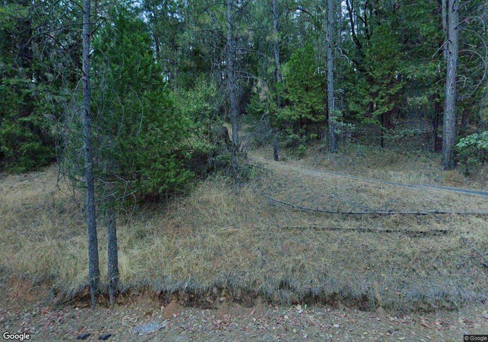
17840 Highway 26 Glencoe, CA 95232
Estimated Value: $312,000 - $381,000
2
Beds
2
Baths
1,275
Sq Ft
$278/Sq Ft
Est. Value
About This Home
This home is located at 17840 Highway 26, Glencoe, CA 95232 and is currently estimated at $353,815, approximately $277 per square foot. 17840 Highway 26 is a home located in Calaveras County with nearby schools including Pioneer Magnet School for the Visual & Performing Arts, Jackson Junior High School, and Amador High School.
Ownership History
Date
Name
Owned For
Owner Type
Purchase Details
Closed on
Sep 11, 2018
Sold by
Ramirez Francisco J and Ramirez Karen J
Bought by
Coppers Pilar
Current Estimated Value
Home Financials for this Owner
Home Financials are based on the most recent Mortgage that was taken out on this home.
Original Mortgage
$192,000
Outstanding Balance
$167,451
Interest Rate
4.6%
Mortgage Type
New Conventional
Estimated Equity
$186,364
Purchase Details
Closed on
Oct 8, 2003
Sold by
Hereth Thomas W and Hereth Claudia J
Bought by
Ramirez Francisco J and Ramirez Karen J
Home Financials for this Owner
Home Financials are based on the most recent Mortgage that was taken out on this home.
Original Mortgage
$180,000
Interest Rate
6.4%
Mortgage Type
Purchase Money Mortgage
Create a Home Valuation Report for This Property
The Home Valuation Report is an in-depth analysis detailing your home's value as well as a comparison with similar homes in the area
Home Values in the Area
Average Home Value in this Area
Purchase History
| Date | Buyer | Sale Price | Title Company |
|---|---|---|---|
| Coppers Pilar | $240,000 | Placer Title Co | |
| Ramirez Francisco J | $225,000 | First American Title Company |
Source: Public Records
Mortgage History
| Date | Status | Borrower | Loan Amount |
|---|---|---|---|
| Open | Coppers Pilar | $192,000 | |
| Previous Owner | Ramirez Francisco J | $180,000 |
Source: Public Records
Tax History Compared to Growth
Tax History
| Year | Tax Paid | Tax Assessment Tax Assessment Total Assessment is a certain percentage of the fair market value that is determined by local assessors to be the total taxable value of land and additions on the property. | Land | Improvement |
|---|---|---|---|---|
| 2025 | $3,143 | $267,718 | $44,617 | $223,101 |
| 2023 | $3,087 | $257,325 | $42,886 | $214,439 |
| 2022 | $3,017 | $252,281 | $42,046 | $210,235 |
| 2021 | $2,785 | $247,335 | $41,222 | $206,113 |
| 2020 | $2,833 | $244,800 | $40,800 | $204,000 |
| 2019 | $2,924 | $240,000 | $40,000 | $200,000 |
| 2018 | $2,310 | $185,000 | $30,000 | $155,000 |
| 2017 | $2,057 | $163,000 | $30,000 | $133,000 |
| 2016 | $2,024 | $157,000 | $30,000 | $127,000 |
| 2015 | $2,016 | $157,000 | $30,000 | $127,000 |
| 2014 | -- | $150,000 | $30,000 | $120,000 |
Source: Public Records
Map
Nearby Homes
- 17533 Humbug Creek Rd
- 121 Rabbit's Foot Rd
- 2563 Woodhouse Mine Rd
- 402 Rabbit's Foot Rd
- 148 Sandy Gulch Ln
- 2367 Woodhouse Mine Rd
- 2863 April Ln
- 2660 Independence Rd
- 3179 Independence Rd
- 4744 Independence Rd
- 146 3 Cent Flat Rd
- 4875 Independence Rd
- 211 Fox Rd
- 2996 Liberty Hill Rd
- 20848 State Route 26
- 3830 Dogwood Pass Rd
- 0 Ridge Rd Unit Parcel B 202400338
- 0 Ridge Rd Unit Parcel A 202400337
- Parcel B Ridge Rd
- Parcel A Ridge Rd
- 17840 State Route 26
- 17924 Highway 26
- 17706 Highway 26
- 17706 State Route 26
- 17705 Highway 26
- 17586 Highway 26
- 17566 State Route 26
- 18168 Highway 26
- 19167 State Route 26
- 19167 California 26
- 17534 Humbug Creek Rd Unit 21
- 17534 Humbug Creek Rd
- 17425 Highway 26
- 17425 Highway 26
- 17535 Humbug Creek Rd
- 17534 Humbug Rd
- 17535 Humbug Rd
- 17535 Humbug Creek Rd
- 1001 Wolvarine Mine Rd
- 40 Sawyer Ln
