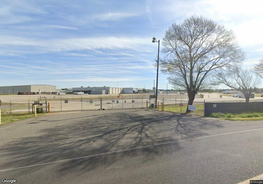
1785 Ashby Rd Merced, CA 95348
Studio
--
Bath
104,000
Sq Ft
1,742,400
Sq Ft Lot
About This Home
This home is located at 1785 Ashby Rd, Merced, CA 95348. 1785 Ashby Rd is a home located in Merced County with nearby schools including Franklin Elementary School, Tenaya Middle School, and El Capitan High School.
Ownership History
Date
Name
Owned For
Owner Type
Purchase Details
Closed on
Aug 23, 2021
Sold by
Morning Star Merced Llc
Bought by
1785 Ashby Llc
Home Financials for this Owner
Home Financials are based on the most recent Mortgage that was taken out on this home.
Original Mortgage
$9,000,000
Interest Rate
2.8%
Mortgage Type
Commercial
Purchase Details
Closed on
Aug 29, 2006
Sold by
Unilever Supply Chain Inc
Bought by
Morning Star Merced Llc
Home Financials for this Owner
Home Financials are based on the most recent Mortgage that was taken out on this home.
Original Mortgage
$6,439,300
Interest Rate
6.67%
Mortgage Type
Commercial
Purchase Details
Closed on
Nov 21, 2005
Sold by
Conopco Inc
Bought by
Unilever Supply Chain Inc
Create a Home Valuation Report for This Property
The Home Valuation Report is an in-depth analysis detailing your home's value as well as a comparison with similar homes in the area
Purchase History
| Date | Buyer | Sale Price | Title Company |
|---|---|---|---|
| 1785 Ashby Llc | $12,314,000 | First American Title Company | |
| Morning Star Merced Llc | -- | North American Title Co | |
| Unilever Supply Chain Inc | -- | Public |
Source: Public Records
Mortgage History
| Date | Status | Borrower | Loan Amount |
|---|---|---|---|
| Closed | 1785 Ashby Llc | $9,000,000 | |
| Previous Owner | Morning Star Merced Llc | $6,439,300 |
Source: Public Records
Tax History
| Year | Tax Paid | Tax Assessment Tax Assessment Total Assessment is a certain percentage of the fair market value that is determined by local assessors to be the total taxable value of land and additions on the property. | Land | Improvement |
|---|---|---|---|---|
| 2025 | $119,987 | $11,420,230 | $4,626,866 | $6,793,364 |
| 2024 | $119,987 | $11,200,358 | $4,536,144 | $6,664,214 |
| 2023 | $118,353 | $10,984,797 | $4,447,200 | $6,537,597 |
| 2022 | $111,047 | $10,233,950 | $4,360,000 | $5,873,950 |
| 2021 | $90,139 | $8,157,650 | $3,485,000 | $4,672,650 |
| 2020 | $100,297 | $8,913,780 | $3,485,000 | $5,428,780 |
| 2019 | $82,157 | $7,285,100 | $2,175,000 | $5,110,100 |
| 2018 | $76,483 | $7,286,430 | $2,175,000 | $5,111,430 |
| 2017 | $77,440 | $6,967,730 | $2,100,000 | $4,867,730 |
| 2016 | $74,316 | $6,659,620 | $2,000,000 | $4,659,620 |
| 2015 | $71,146 | $6,381,240 | $2,000,000 | $4,381,240 |
| 2014 | $70,979 | $6,379,990 | $2,000,000 | $4,379,990 |
Source: Public Records
Map
Nearby Homes
- 2790 N State Highway 59
- 2500 N State Highway 59 Unit 36
- 2500 N State Highway 59 Unit 278
- 2500 N State Highway 59 Unit 239
- 2500 N State Highway 59 Unit 18
- 2500 N State Highway 59
- 1664 W North Bear Creek Dr Unit 5
- 1656 W North Bear Creek Dr Unit 9
- 1646 W North Bear Creek Dr
- 1648 W North Bear Creek Dr
- 1541 W North Bear Creek Dr
- 1482 Autry Way
- 2044 W State Highway 140
- 2085 Cabot Ave
- 1438 W 19th St
- 3157 Juneau Ct
- 2228 Drake Ave
- 1840 Cheyenne Dr
- 2094 W Pincay St
- 1803 Lopes Ave
- 2320 Cooper Ave
- 2777 N 59 Hwy Unit `B`
- 2777 B 59 Hwy N
- 2777 D N Highway 59 Unit D
- 2777 N State Highway 59
- 2777 N State Highway 59
- 2777 N State Highway 59 Unit D F
- 2777 N State Highway 59 Unit B
- 2777 N State Highway 59 Unit C
- 2777 N State Highway 59 Unit D
- 2777 N State Highway 59 Unit D
- 2777 N State Highway 59 Unit C
- 2777 N State Highway 59 Unit A
- 2777 N State Highway 59
- 2260 Cooper Ave
- 2260 Cooper Ave Unit F
- 2260 Cooper Ave Unit H
- 2260 Cooper Ave Unit B
- 2260 Cooper Ave Unit F G
- 1748 Talbott Ct
Your Personal Tour Guide
Ask me questions while you tour the home.