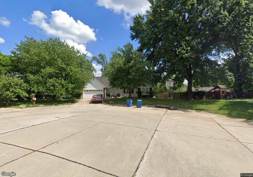
1785 Basket Oak Dr Saint Charles, MO 63303
Estimated Value: $361,000 - $383,955
5
Beds
3
Baths
1,688
Sq Ft
$221/Sq Ft
Est. Value
About This Home
This home is located at 1785 Basket Oak Dr, Saint Charles, MO 63303 and is currently estimated at $373,239, approximately $221 per square foot. 1785 Basket Oak Dr is a home located in St. Charles County with nearby schools including Lincoln Elementary School, Hardin Middle School, and Jefferson Intermediate School.
Ownership History
Date
Name
Owned For
Owner Type
Purchase Details
Closed on
Jun 30, 2015
Sold by
Long James R and Long Linda S
Bought by
Long John V and Goodell Long Chosen
Current Estimated Value
Home Financials for this Owner
Home Financials are based on the most recent Mortgage that was taken out on this home.
Original Mortgage
$157,250
Outstanding Balance
$122,785
Interest Rate
3.9%
Mortgage Type
New Conventional
Estimated Equity
$250,454
Purchase Details
Closed on
Aug 16, 1999
Sold by
Woerner Jason P and Woerner Allison
Bought by
Commonwealth Title
Create a Home Valuation Report for This Property
The Home Valuation Report is an in-depth analysis detailing your home's value as well as a comparison with similar homes in the area
Home Values in the Area
Average Home Value in this Area
Purchase History
| Date | Buyer | Sale Price | Title Company |
|---|---|---|---|
| Long John V | $185,000 | Closeline Llc | |
| Commonwealth Title | $155,900 | -- |
Source: Public Records
Mortgage History
| Date | Status | Borrower | Loan Amount |
|---|---|---|---|
| Open | Long John V | $157,250 |
Source: Public Records
Tax History Compared to Growth
Tax History
| Year | Tax Paid | Tax Assessment Tax Assessment Total Assessment is a certain percentage of the fair market value that is determined by local assessors to be the total taxable value of land and additions on the property. | Land | Improvement |
|---|---|---|---|---|
| 2025 | $3,848 | $65,309 | -- | -- |
| 2023 | $3,842 | $60,045 | $0 | $0 |
| 2022 | $3,076 | $44,753 | $0 | $0 |
| 2021 | $3,079 | $44,753 | $0 | $0 |
| 2020 | $3,189 | $44,573 | $0 | $0 |
| 2019 | $3,161 | $44,573 | $0 | $0 |
| 2018 | $3,001 | $40,226 | $0 | $0 |
| 2017 | $2,960 | $40,226 | $0 | $0 |
| 2016 | $2,856 | $37,389 | $0 | $0 |
| 2015 | $2,851 | $37,389 | $0 | $0 |
| 2014 | $2,650 | $34,256 | $0 | $0 |
Source: Public Records
Map
Nearby Homes
- 24 Faulkner Dr Unit 30C
- 155 Southern Oaks Dr Unit 7A
- 1883 Basket Oak Dr
- 1033 Sherbrooke Rd
- 4 Fairview Dr
- 29 Highland Dr
- 23 Melody Ln S
- 25 Aubrey Place
- 5 Capron Ln
- 397 Montclair Tower Dr
- 314 Montclair Tower Dr
- 1626 Boone Dr
- 1092 Pierpoint Ln
- 503 Fortress Ct
- 20 Woodlawn Dr
- 1794 S Wisteria Dr Unit 8
- 8 Chandler Ct
- 1121 S Main St Unit 104
- 1121 S Main St Unit 209
- 1121 S Main St Unit 105
- 401 Rio Vista Dr
- 1789 Basket Oak Dr
- 1794 Basket Oak Dr
- 1793 Basket Oak Dr
- 327 Rio Vista Dr
- 1797 Basket Oak Dr
- 1798 Basket Oak Dr
- 275 Southern Oaks Dr
- 277 Southern Oaks Dr
- 279 Southern Oaks Dr
- 271 Southern Oaks Dr
- 271 Southern Oaks Dr Unit 22D
- 4 Water Oak Ct
- 283 Southern Oaks Dr Unit 24A
- 269 Southern Oaks Dr
- 267 Southern Oaks Dr
- 285 Southern Oaks Dr
- 265 Southern Oaks Dr
- 287 Southern Oaks Dr
- 287 Southern Oaks Dr Unit 24C