Estimated Value: $318,000 - $522,796
--
Bed
2
Baths
3,414
Sq Ft
$120/Sq Ft
Est. Value
About This Home
This home is located at 1785 Crosland Lenox Rd, Omega, GA 31775 and is currently estimated at $410,932, approximately $120 per square foot. 1785 Crosland Lenox Rd is a home located in Colquitt County with nearby schools including Norman Park Elementary School, Willie J. Williams Middle School, and C.A. Gray Junior High School.
Ownership History
Date
Name
Owned For
Owner Type
Purchase Details
Closed on
Mar 17, 2016
Sold by
Lane Ashley Grace
Bought by
Lane Diane
Current Estimated Value
Home Financials for this Owner
Home Financials are based on the most recent Mortgage that was taken out on this home.
Original Mortgage
$248,372
Outstanding Balance
$196,585
Interest Rate
3.65%
Mortgage Type
New Conventional
Estimated Equity
$214,347
Purchase Details
Closed on
Feb 19, 2016
Sold by
Sumner Kelly Dunn
Bought by
Lane Ashley
Home Financials for this Owner
Home Financials are based on the most recent Mortgage that was taken out on this home.
Original Mortgage
$248,372
Outstanding Balance
$196,585
Interest Rate
3.65%
Mortgage Type
New Conventional
Estimated Equity
$214,347
Purchase Details
Closed on
Sep 7, 2007
Sold by
Sumner Robert L
Bought by
Lane Ashley Grace
Home Financials for this Owner
Home Financials are based on the most recent Mortgage that was taken out on this home.
Original Mortgage
$181,000
Interest Rate
6.55%
Mortgage Type
New Conventional
Create a Home Valuation Report for This Property
The Home Valuation Report is an in-depth analysis detailing your home's value as well as a comparison with similar homes in the area
Home Values in the Area
Average Home Value in this Area
Purchase History
| Date | Buyer | Sale Price | Title Company |
|---|---|---|---|
| Lane Diane | $300,000 | -- | |
| Lane Ashley | -- | -- | |
| Lane Ashley Grace | $181,000 | -- |
Source: Public Records
Mortgage History
| Date | Status | Borrower | Loan Amount |
|---|---|---|---|
| Open | Lane Diane | $248,372 | |
| Closed | Lane Ashley | $52,638 | |
| Closed | Lane Ashley | -- | |
| Previous Owner | Lane Ashley Grace | $181,000 |
Source: Public Records
Tax History Compared to Growth
Tax History
| Year | Tax Paid | Tax Assessment Tax Assessment Total Assessment is a certain percentage of the fair market value that is determined by local assessors to be the total taxable value of land and additions on the property. | Land | Improvement |
|---|---|---|---|---|
| 2024 | $4,731 | $209,794 | $16,962 | $192,832 |
| 2023 | $4,424 | $119,215 | $16,962 | $102,253 |
| 2022 | $2,588 | $108,681 | $15,077 | $93,604 |
| 2021 | $2,497 | $102,830 | $15,077 | $87,753 |
| 2020 | $2,445 | $98,938 | $15,077 | $83,861 |
| 2019 | $2,613 | $95,045 | $15,077 | $79,968 |
| 2018 | $2,431 | $95,045 | $15,077 | $79,968 |
| 2017 | $2,565 | $94,228 | $14,260 | $79,968 |
| 2016 | $2,750 | $101,707 | $14,260 | $87,447 |
| 2015 | $2,775 | $101,707 | $14,260 | $87,447 |
| 2014 | $2,723 | $101,707 | $14,260 | $87,447 |
| 2013 | -- | $101,707 | $14,260 | $87,447 |
Source: Public Records
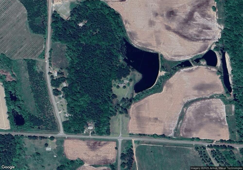
Map
Nearby Homes
- 221 Rentz Bridge Rd
- 83 W Gray Ave
- 411 S Robinson St
- 86 Owen Medford Rd
- 320 E Central Ave
- 77 S Bobby St
- 801 Broad St
- 146 Lamar St
- 142 Lamar St
- 122 New St
- 1396 Livingston Bridge Rd
- 15150 U S 41
- 5015 Union Rd
- 187 Bussell Rd
- 1427 S Ty Omega Rd
- 0 S Us Hwy 41 Lee Ball Rd Unit 134993
- 0 E 0 Hwy 125 S
- 0 Murray McCranie Rd Unit 25079284
- 0 Murray McCranie Rd Unit 11586683
- 3332 Ellenton Norman Park Rd