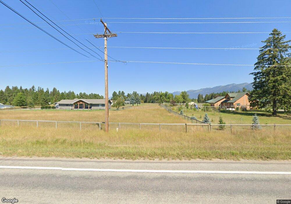
1785 Mount Highway 209 Bigfork, MT 59911
Estimated Value: $315,406
Studio
--
Bath
--
Sq Ft
761,429
Sq Ft Lot
About This Home
This home is located at 1785 Mount Highway 209, Bigfork, MT 59911 and is currently estimated at $315,406. 1785 Mount Highway 209 is a home located in Flathead County with nearby schools including Bigfork Elementary School, Bigfork Middle School, and Bigfork High School.
Ownership History
Date
Name
Owned For
Owner Type
Purchase Details
Closed on
Dec 4, 2014
Sold by
The Siegfried Eder Revocable Trust
Bought by
Barnes Michael S and Barnes Cynthia Z
Current Estimated Value
Home Financials for this Owner
Home Financials are based on the most recent Mortgage that was taken out on this home.
Original Mortgage
$86,277
Outstanding Balance
$66,014
Interest Rate
3.89%
Mortgage Type
New Conventional
Estimated Equity
$249,392
Purchase Details
Closed on
Jun 7, 2010
Sold by
Eder Siegfried
Bought by
Eder Siegried and Siegfried Eder Revocable Trust
Create a Home Valuation Report for This Property
The Home Valuation Report is an in-depth analysis detailing your home's value as well as a comparison with similar homes in the area
Home Values in the Area
Average Home Value in this Area
Purchase History
| Date | Buyer | Sale Price | Title Company |
|---|---|---|---|
| Barnes Michael S | -- | First American Title Company | |
| Eder Siegried | -- | None Available |
Source: Public Records
Mortgage History
| Date | Status | Borrower | Loan Amount |
|---|---|---|---|
| Open | Barnes Michael S | $86,277 |
Source: Public Records
Tax History
| Year | Tax Paid | Tax Assessment Tax Assessment Total Assessment is a certain percentage of the fair market value that is determined by local assessors to be the total taxable value of land and additions on the property. | Land | Improvement |
|---|---|---|---|---|
| 2025 | $732 | $279,717 | $0 | $0 |
| 2024 | $727 | $165,840 | $0 | $0 |
| 2023 | $759 | $165,100 | $0 | $0 |
| 2022 | $773 | $123,864 | $0 | $0 |
| 2021 | $790 | $123,127 | $0 | $0 |
| 2020 | $725 | $106,349 | $0 | $0 |
| 2019 | $72 | $14,426 | $0 | $0 |
| 2018 | $71 | $14,426 | $0 | $0 |
| 2017 | $71 | $14,426 | $0 | $0 |
| 2016 | $68 | $14,426 | $0 | $0 |
| 2015 | $68 | $14,426 | $0 | $0 |
| 2014 | $71 | $22,940 | $0 | $0 |
Source: Public Records
Map
Nearby Homes
- 280 Shady Ln
- 172 Swanlea Rd S
- 29545 Drifting Way
- 72 Pilots Trail
- 305 Ferndale Dr Unit 41&42
- 305 Ferndale Dr Unit 42
- 305 Ferndale Dr Unit 41
- 115 Ferndale Dr
- 30580 Cayuse Ln
- #30 Bear Creek Village
- 518 Eastman Dr
- 12022 Mount Highway 83
- 12524 Sunburst Dr
- 639 Three Eagle Ln
- 1 Red Owl Rd
- 2 Red Owl Rd
- 3 Snowy Owl Ln
- 4 Snowy Owl Ln
- 19 Red Owl Rd
- 17 Snowy Owl Ln
- 1785 Mt Highway 209
- 129 Fern Ln
- 140 Shady Ln
- 1725 Mt Highway 209
- 175 Fern Ln
- 1845 Mt Highway 209
- 1845 Mt Highway 209
- 1731 Mt-209
- 214 Fern Ln
- 215 Fern Ln
- 1847 Mt Hwy 209
- 4222 Highway 209
- 1847 Mt Highway 209
- 1847 Mt-209
- 145 Shady Ln
- 115 Shady Ln
- 29771 Mt Highway 209
- 29771 Mt Highway 209
- 1728 Mt Highway 209
- Nhn Shady Ln
Your Personal Tour Guide
Ask me questions while you tour the home.