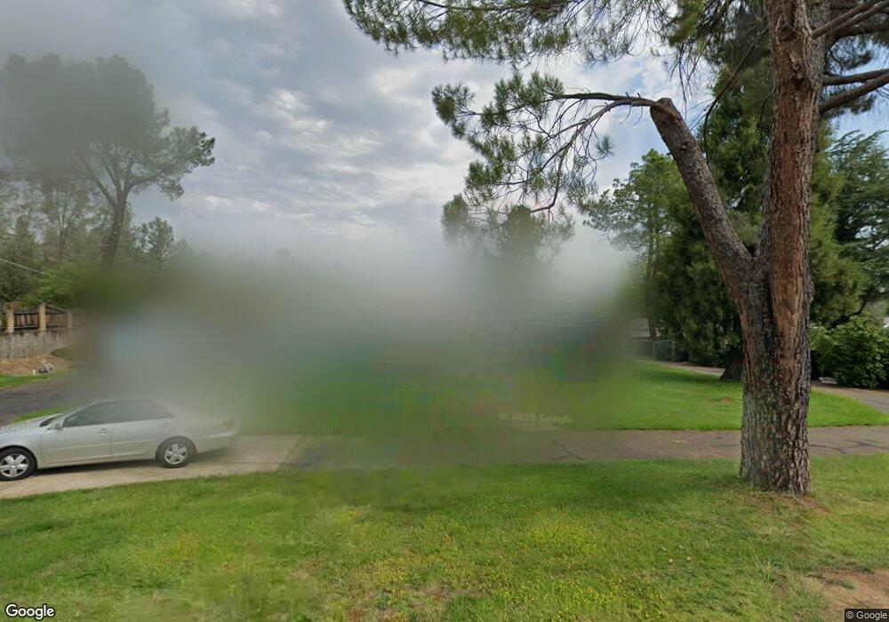
17850 Walker Mine Rd Unit 1 Redding, CA 96003
Estimated Value: $326,848 - $387,000
3
Beds
2
Baths
1,768
Sq Ft
$206/Sq Ft
Est. Value
About This Home
This home is located at 17850 Walker Mine Rd Unit 1, Redding, CA 96003 and is currently estimated at $363,712, approximately $205 per square foot. 17850 Walker Mine Rd Unit 1 is a home located in Shasta County.
Ownership History
Date
Name
Owned For
Owner Type
Purchase Details
Closed on
Sep 1, 2020
Sold by
Swanson David
Bought by
Swanson David Robert and The Swanson Family Trust
Current Estimated Value
Purchase Details
Closed on
Mar 4, 2002
Sold by
Tickle Susan and Tickle Beattie Susan
Bought by
Swanson David and Swanson Dorothy
Home Financials for this Owner
Home Financials are based on the most recent Mortgage that was taken out on this home.
Original Mortgage
$128,500
Interest Rate
6.49%
Purchase Details
Closed on
Mar 15, 2000
Sold by
Dennis Janet F
Bought by
Tickle Beattie Susan
Home Financials for this Owner
Home Financials are based on the most recent Mortgage that was taken out on this home.
Original Mortgage
$124,708
Interest Rate
8.38%
Mortgage Type
FHA
Purchase Details
Closed on
Jun 9, 1997
Sold by
Harold Saunders
Bought by
Mead Gladys K
Create a Home Valuation Report for This Property
The Home Valuation Report is an in-depth analysis detailing your home's value as well as a comparison with similar homes in the area
Home Values in the Area
Average Home Value in this Area
Purchase History
| Date | Buyer | Sale Price | Title Company |
|---|---|---|---|
| Swanson David Robert | -- | None Available | |
| Swanson David | $143,500 | Chicago Title Co | |
| Tickle Beattie Susan | $125,000 | First American Title Co | |
| Mead Gladys K | $115,000 | Fidelity National Title Co |
Source: Public Records
Mortgage History
| Date | Status | Borrower | Loan Amount |
|---|---|---|---|
| Closed | Swanson David | $128,500 | |
| Previous Owner | Tickle Beattie Susan | $124,708 |
Source: Public Records
Tax History Compared to Growth
Tax History
| Year | Tax Paid | Tax Assessment Tax Assessment Total Assessment is a certain percentage of the fair market value that is determined by local assessors to be the total taxable value of land and additions on the property. | Land | Improvement |
|---|---|---|---|---|
| 2025 | $2,545 | $244,147 | $59,078 | $185,069 |
| 2024 | $2,496 | $239,361 | $57,920 | $181,441 |
| 2023 | $2,496 | $234,669 | $56,785 | $177,884 |
| 2022 | $2,427 | $230,069 | $55,672 | $174,397 |
| 2021 | $2,394 | $225,559 | $54,581 | $170,978 |
| 2020 | $2,383 | $223,247 | $54,022 | $169,225 |
| 2019 | $2,308 | $218,870 | $52,963 | $165,907 |
| 2018 | $2,307 | $214,579 | $51,925 | $162,654 |
| 2017 | $2,267 | $210,372 | $50,907 | $159,465 |
| 2016 | $2,166 | $206,248 | $49,909 | $156,339 |
| 2015 | $2,131 | $203,151 | $49,160 | $153,991 |
| 2014 | $2,145 | $199,173 | $48,198 | $150,975 |
Source: Public Records
Map
Nearby Homes
- 17698 Walker Mine Rd
- 12648 Williamson Rd
- 12656 Shalon Dr
- 0 Shasta Gateway Dr
- 13289 Moccasin Ln
- 2441 D Alene Ave
- 13314 Kokanee Dr
- 12415 Lake Blvd
- 2390 Walton Ave
- NSA Coeur d Alene Ave
- 2325 Ashby Rd
- 3825 Coeur d Alene Ave
- 3742 Craftsman Ave
- 3726 Craftsman Ave
- 3994 Idaho Way
- 4200 Pine Grove Ave
- 16925 Walker Mine Rd
- 2.39 acres Lake Blvd
- 0 Avington Way
- 3636 Olive St
- 17850 Walker Mine Rd
- 17832 Walker Mine Rd
- 17874 Walker Mine Rd
- 17824 Walker Mine Rd
- 17867 Walker Mine Rd
- 17875 Walker Mine Rd
- 17857 Walker Mine Rd
- 12901 Beltline Rd Unit Cabin
- 12901 Beltline Rd Unit 1
- 12901 Beltline Rd
- 17887 Walker Mine Rd
- 12847 Williamson Rd
- 12864 Williamson Rd
- 12909 Beltline Rd
- 12864 Williams Rd
- 0 Lake & Walker Mine
- 12820 Lake Blvd
- 12803 Williamson Rd
- 12814 Lake Blvd
- 12910 Beltline Rd
