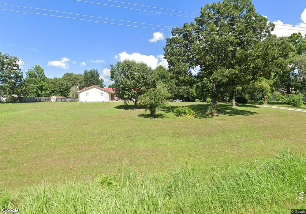
17854 Highway 17 Crocker, MO 65452
Estimated Value: $125,000 - $201,718
3
Beds
2
Baths
1,200
Sq Ft
$138/Sq Ft
Est. Value
About This Home
This home is located at 17854 Highway 17, Crocker, MO 65452 and is currently estimated at $165,680, approximately $138 per square foot. 17854 Highway 17 is a home located in Pulaski County with nearby schools including Crocker Elementary School and Crocker High School.
Ownership History
Date
Name
Owned For
Owner Type
Purchase Details
Closed on
Sep 8, 2005
Sold by
Taylor John W and Taylor Lea Ann
Bought by
Miller Robert C
Current Estimated Value
Home Financials for this Owner
Home Financials are based on the most recent Mortgage that was taken out on this home.
Original Mortgage
$105,750
Outstanding Balance
$54,855
Interest Rate
5.76%
Mortgage Type
VA
Estimated Equity
$110,825
Create a Home Valuation Report for This Property
The Home Valuation Report is an in-depth analysis detailing your home's value as well as a comparison with similar homes in the area
Purchase History
| Date | Buyer | Sale Price | Title Company |
|---|---|---|---|
| Miller Robert C | -- | Hlt |
Source: Public Records
Mortgage History
| Date | Status | Borrower | Loan Amount |
|---|---|---|---|
| Open | Miller Robert C | $105,750 |
Source: Public Records
Tax History
| Year | Tax Paid | Tax Assessment Tax Assessment Total Assessment is a certain percentage of the fair market value that is determined by local assessors to be the total taxable value of land and additions on the property. | Land | Improvement |
|---|---|---|---|---|
| 2025 | $708 | $18,811 | $2,462 | $16,349 |
| 2024 | $708 | $16,915 | $2,052 | $14,863 |
| 2023 | $695 | $16,915 | $2,052 | $14,863 |
| 2022 | $696 | $16,915 | $2,052 | $14,863 |
| 2021 | $696 | $16,915 | $2,052 | $14,863 |
| 2020 | $670 | $15,210 | $0 | $0 |
| 2019 | $670 | $16,207 | $0 | $0 |
| 2018 | $670 | $16,207 | $0 | $0 |
| 2017 | $669 | $15,210 | $0 | $0 |
| 2016 | $669 | $16,210 | $0 | $0 |
| 2015 | -- | $16,210 | $0 | $0 |
| 2014 | $665 | $16,210 | $0 | $0 |
Source: Public Records
Map
Nearby Homes
- TBD 13A Highway 17
- 19280 Missouri 17
- 17305 Riverside Rd
- T6&T7 Highway 17
- TBD
- TBD
- 16629 Beaufort Rd
- 21010 Highway Dd
- 20995 Blackberry Ln
- 226 Sweet Valley Cir
- 224 Sweet Valley Cir
- 230 Sweet Valley Cir
- 19875 Missouri 17
- 000 Bangor Rd
- 21269 Bangor Rd
- 20415 Highway 17
- 319 Harold St
- 103 Martha Ave
- 103 Bell Creek Rd
- 110 Park Place
- 17860 Highway 17
- 17880 Highway 17
- 22418 Basket Dr
- 22450 Basket Dr
- 17867 Highway 17
- 22385 Basket Dr
- 22423 Basket Dr
- 17989 Highway 17
- 17952 Highway 17
- 17948 Missouri 17
- 17759 Highway 17
- 22461 Basket Dr
- 22344 Bear Ridge Dr
- 22344 Bear Ridge Dr
- 17705 Highway 17
- 19A Highway 17
- 17565 Highway 17
- 18205 Highway 17
- 18200 Highway 17
- 17521 Bobwhite Rd
Your Personal Tour Guide
Ask me questions while you tour the home.