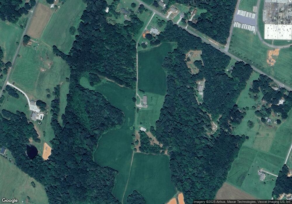
1786 Jones Dr Catawba, NC 28609
Estimated Value: $269,000 - $495,000
3
Beds
3
Baths
1,944
Sq Ft
$177/Sq Ft
Est. Value
About This Home
This home is located at 1786 Jones Dr, Catawba, NC 28609 and is currently estimated at $344,667, approximately $177 per square foot. 1786 Jones Dr is a home located in Catawba County with nearby schools including Bandys High School, Catawba Elementary School, and Mill Creek Middle School.
Ownership History
Date
Name
Owned For
Owner Type
Purchase Details
Closed on
Jun 26, 2025
Sold by
Jones Betty R
Bought by
Hammett Land & Minerals Llc
Current Estimated Value
Purchase Details
Closed on
May 13, 2025
Sold by
Jones Betty R
Bought by
Jones Betty R
Purchase Details
Closed on
Sep 25, 2018
Sold by
Patricia A Martin
Bought by
Jones Wayne and Jones Betty
Home Financials for this Owner
Home Financials are based on the most recent Mortgage that was taken out on this home.
Original Mortgage
$195,000
Interest Rate
4.65%
Create a Home Valuation Report for This Property
The Home Valuation Report is an in-depth analysis detailing your home's value as well as a comparison with similar homes in the area
Home Values in the Area
Average Home Value in this Area
Purchase History
| Date | Buyer | Sale Price | Title Company |
|---|---|---|---|
| Hammett Land & Minerals Llc | $250,000 | None Listed On Document | |
| Hammett Land & Minerals Llc | $250,000 | None Listed On Document | |
| Jones Betty R | -- | None Listed On Document | |
| Jones Betty R | -- | None Listed On Document | |
| Jones Wayne | -- | -- |
Source: Public Records
Mortgage History
| Date | Status | Borrower | Loan Amount |
|---|---|---|---|
| Previous Owner | Jones Wayne | $195,000 | |
| Previous Owner | Jones Wayne | -- |
Source: Public Records
Tax History Compared to Growth
Tax History
| Year | Tax Paid | Tax Assessment Tax Assessment Total Assessment is a certain percentage of the fair market value that is determined by local assessors to be the total taxable value of land and additions on the property. | Land | Improvement |
|---|---|---|---|---|
| 2025 | $2,267 | $454,700 | $70,500 | $384,200 |
| 2024 | $2,267 | $454,700 | $70,500 | $384,200 |
| 2023 | $2,169 | $270,100 | $54,500 | $215,600 |
| 2022 | $1,864 | $270,100 | $54,500 | $215,600 |
| 2021 | $1,864 | $270,100 | $54,500 | $215,600 |
| 2020 | $1,864 | $270,100 | $54,500 | $215,600 |
| 2019 | $1,764 | $270,100 | $0 | $0 |
| 2018 | $1,867 | $284,100 | $53,100 | $231,000 |
| 2017 | $1,867 | $0 | $0 | $0 |
| 2016 | $1,867 | $0 | $0 | $0 |
| 2015 | $1,727 | $284,100 | $53,100 | $231,000 |
| 2014 | $1,727 | $287,800 | $50,300 | $237,500 |
Source: Public Records
Map
Nearby Homes
- 1600 Barefoot Ave Unit 3
- 1456 Stonecroft Cir
- 7187 Sherrills Ford Rd
- 0000 Hopewell Church Rd
- 7331 Sherrills Ford Rd
- 6368 Alley Rd
- 2347 Mount Pleasant Rd
- 5824 Alley Rd
- 1094 Gold Mine Dr
- 1453 Ardmore Dr
- 1432 Ardmore Dr
- 1448 Ardmore Dr
- 1440 Ardmore Dr
- 1444 Ardmore Dr
- 1865 Barksdale Rd
- 1869 Barksdale Rd
- 1060 Arundle Rd
- 1068 Arundle Rd
- 1072 Arundle Rd
- 1076 Arundle Rd
- 6553 Sherrills Ford Rd
- 1850 Jones Dr
- 6577 Sherrills Ford Rd
- 6637 Sherrills Ford Rd
- 6617 Sherrills Ford Rd
- 6487 Sherrills Ford Rd
- 6619 Sherrills Ford Rd
- 6502 Sherrills Ford Rd
- 6544 Sherrills Ford Rd
- 6546 Sherrills Ford Rd Unit 1B
- 6675 Sherrills Ford Rd
- 6560 Sherrills Ford Rd
- 1704 Joe Johnson Rd
- 6429 Sherrills Ford Rd
- 6622 Sherrills Ford Rd
- 1931 Hopewell Church Rd
- 3606 Sherrills Ford Rd
- 1810 Joe Johnson Rd
- 1810 Joe Johnson Rd Unit 2
- 1874 Wolf Ridge Dr
