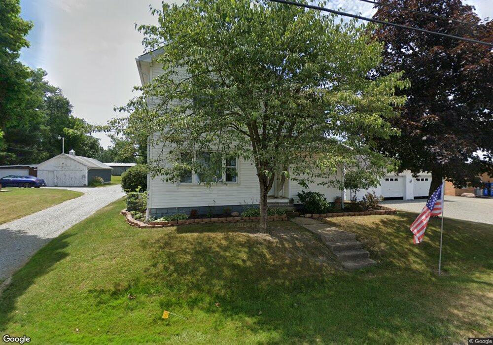
17861 5th St Beloit, OH 44609
Estimated Value: $119,704 - $187,000
3
Beds
1
Bath
1,274
Sq Ft
$119/Sq Ft
Est. Value
About This Home
This home is located at 17861 5th St, Beloit, OH 44609 and is currently estimated at $151,676, approximately $119 per square foot. 17861 5th St is a home located in Mahoning County with nearby schools including West Branch Middle School and West Branch High School.
Ownership History
Date
Name
Owned For
Owner Type
Purchase Details
Closed on
Jul 30, 1998
Sold by
Gantz Margaret A and Gantz Donald E
Bought by
Ludwig Richard and Ludwig Catherine
Current Estimated Value
Home Financials for this Owner
Home Financials are based on the most recent Mortgage that was taken out on this home.
Original Mortgage
$30,269
Interest Rate
7.07%
Purchase Details
Closed on
Jul 9, 1990
Bought by
Scheiben Margaret A
Create a Home Valuation Report for This Property
The Home Valuation Report is an in-depth analysis detailing your home's value as well as a comparison with similar homes in the area
Home Values in the Area
Average Home Value in this Area
Purchase History
| Date | Buyer | Sale Price | Title Company |
|---|---|---|---|
| Ludwig Richard | $20,268 | -- | |
| Scheiben Margaret A | -- | -- |
Source: Public Records
Mortgage History
| Date | Status | Borrower | Loan Amount |
|---|---|---|---|
| Previous Owner | Ludwig Richard | $30,269 |
Source: Public Records
Tax History Compared to Growth
Tax History
| Year | Tax Paid | Tax Assessment Tax Assessment Total Assessment is a certain percentage of the fair market value that is determined by local assessors to be the total taxable value of land and additions on the property. | Land | Improvement |
|---|---|---|---|---|
| 2024 | $919 | $32,700 | $2,480 | $30,220 |
| 2023 | $928 | $32,700 | $2,480 | $30,220 |
| 2022 | $582 | $21,160 | $2,480 | $18,680 |
| 2021 | $1,111 | $21,160 | $2,480 | $18,680 |
| 2020 | $1,115 | $21,160 | $2,480 | $18,680 |
| 2019 | $987 | $17,070 | $2,480 | $14,590 |
| 2018 | $2,127 | $17,070 | $2,480 | $14,590 |
| 2017 | $1,261 | $17,070 | $2,480 | $14,590 |
| 2016 | $970 | $16,920 | $2,290 | $14,630 |
| 2015 | $1,521 | $16,920 | $2,290 | $14,630 |
| 2014 | $1,613 | $16,920 | $2,290 | $14,630 |
| 2013 | $943 | $16,920 | $2,290 | $14,630 |
Source: Public Records
Map
Nearby Homes
- 18061 Derr Ave
- 18 Boxwood Dr
- 11 Redwood St
- 57 Redwood St
- 73 Redwood St
- 726 N 12th St
- 345 E Indiana Ave
- 245 E Maryland Ave
- 1005 N 13th St
- 157 E Ohio Ave
- 17880 State Route 62
- 17394 State Route 62
- 324 S 15th St
- 27443 State Route 62
- 0 W Nevada Ave Unit 5159074
- 0 16th St Unit 5159092
- 154 W Nevada Ave Unit 154
- 286 W Maryland Ave
- 325 W Maryland Ave
- 0 W Maryland Ave