17870 Highway B Edgerton, MO 64444
Estimated Value: $553,000 - $602,000
3
Beds
3
Baths
3,430
Sq Ft
$169/Sq Ft
Est. Value
About This Home
This home is located at 17870 Highway B, Edgerton, MO 64444 and is currently estimated at $581,231, approximately $169 per square foot. 17870 Highway B is a home located in Platte County with nearby schools including North Platte Elementary School, North Platte Intermediate School, and North Platte Junior High School.
Ownership History
Date
Name
Owned For
Owner Type
Purchase Details
Closed on
Oct 5, 2017
Sold by
Lair Bill J and Lair Linda D
Bought by
Mak Lauri
Current Estimated Value
Home Financials for this Owner
Home Financials are based on the most recent Mortgage that was taken out on this home.
Original Mortgage
$131,500
Interest Rate
3.82%
Mortgage Type
New Conventional
Purchase Details
Closed on
Jan 30, 2017
Sold by
Lair Pill J
Bought by
Lair Bill J
Purchase Details
Closed on
Apr 26, 2013
Sold by
Lair Bill J and Bill J Lair Revocable Inter Vi
Bought by
Lair Bill J and Bill J Lair Revocable Inter Vivos Trust
Create a Home Valuation Report for This Property
The Home Valuation Report is an in-depth analysis detailing your home's value as well as a comparison with similar homes in the area
Purchase History
| Date | Buyer | Sale Price | Title Company |
|---|---|---|---|
| Mak Lauri | -- | Continental Title Company | |
| Lair Bill J | -- | Continental Title Company | |
| Mak Lauri | -- | Continental Title Company | |
| Lair Bill J | -- | Continental Title Company | |
| Lair Bill J | -- | None Available | |
| Lair Bill J | -- | None Available | |
| Lair Bill J | -- | Stewart Title Co | |
| Lair Bill J | -- | Stewart Title Co |
Source: Public Records
Mortgage History
| Date | Status | Borrower | Loan Amount |
|---|---|---|---|
| Closed | Lair Bill J | $131,500 |
Source: Public Records
Tax History
| Year | Tax Paid | Tax Assessment Tax Assessment Total Assessment is a certain percentage of the fair market value that is determined by local assessors to be the total taxable value of land and additions on the property. | Land | Improvement |
|---|---|---|---|---|
| 2025 | $2,480 | $34,915 | $3,917 | $30,998 |
| 2024 | $2,480 | $34,915 | $3,917 | $30,998 |
| 2023 | $2,377 | $34,915 | $3,917 | $30,998 |
| 2022 | $2,424 | $34,915 | $3,917 | $30,998 |
| 2021 | $2,438 | $34,915 | $3,917 | $30,998 |
| 2020 | $2,383 | $35,210 | $4,212 | $30,998 |
| 2019 | $2,383 | $35,210 | $4,212 | $30,998 |
| 2018 | $2,402 | $35,210 | $4,212 | $30,998 |
| 2017 | $2,402 | $35,210 | $4,212 | $30,998 |
| 2016 | $2,379 | $35,210 | $4,212 | $30,998 |
| 2015 | $2,378 | $35,210 | $4,212 | $30,998 |
| 2013 | $2,273 | $35,190 | $0 | $0 |
Source: Public Records
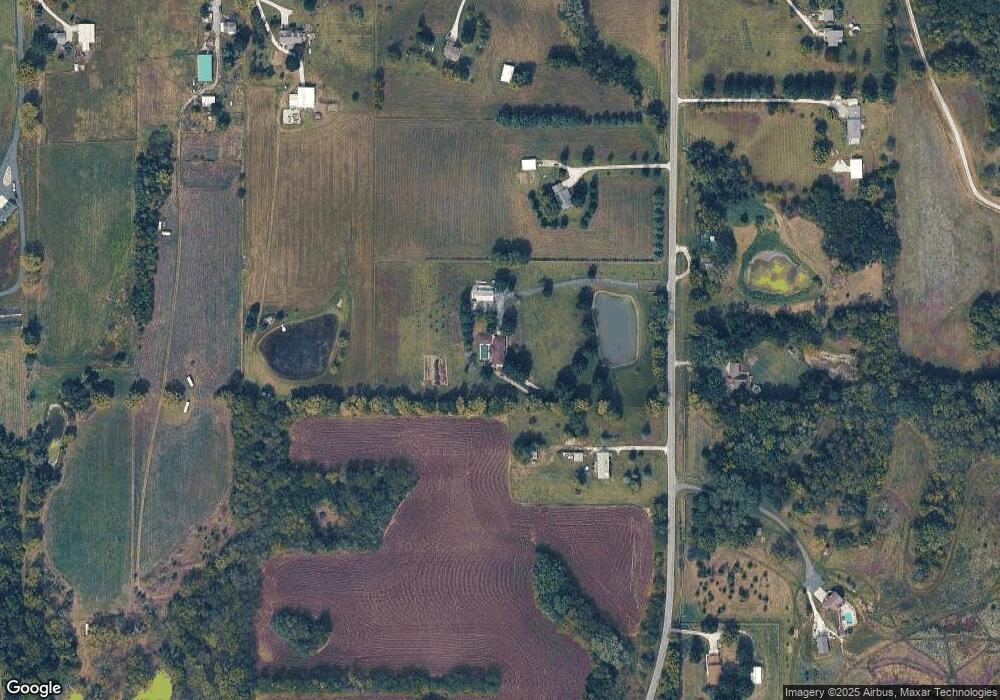
Map
Nearby Homes
- 0 Little Platte Rd Unit HMS2597502
- 0 Smith Rd
- 0 Cockriel Rd
- 16695 B Hwy
- 19845 S Ridgely Rd
- 7610 Hoover Rd
- 2635 Second Creek Rd
- 104 S Prairie Rose Cir
- 18406 Rock Ridge N
- 205 Double Tree Ln
- 702 Quincy Blvd
- 14655 Gale Rd
- 1.77 Acres Highway 169
- 0000 Highway 169
- 18408 Rock Creek Dr
- 18410 Rock Creek Dr
- 3910 Carter Dr
- 4905 NW 140th St
- 0 Highway 169
- 542 Maple Ave
- 17870 Highway B
- 17780 Highway B
- 17930 Highway B
- 17865 Highway B
- 17855 Highway B
- 17855 Highway B
- 17625 B Hwy
- 7185 Little Platte Rd
- 7215 Little Platte Rd
- 17765 Highway B
- 17765 Highway B
- 7195 Little Platte Rd
- 17625 Highway B
- 17625 Highway B
- 7475 Little Platte Rd
- 17895 Highway B
- 6860 Little Platte Rd
- 6725 Little Platte Rd
- 17605 Highway B
- 6720 Little Platte Rd
Your Personal Tour Guide
Ask me questions while you tour the home.