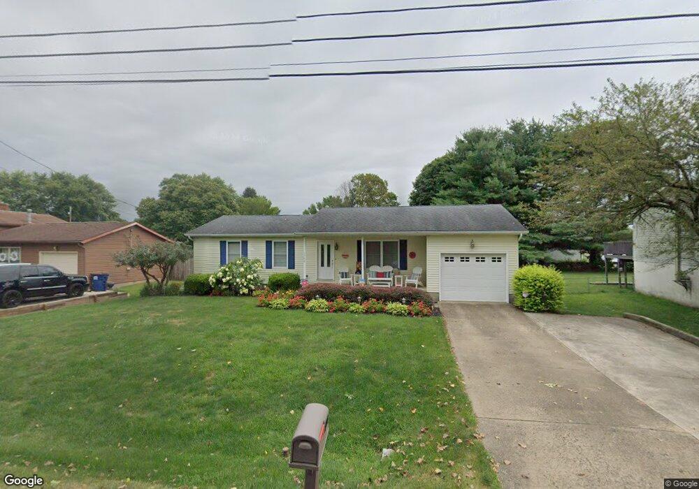
1788 King Rd Newark, OH 43055
Estimated Value: $222,000 - $245,305
3
Beds
1
Bath
1,128
Sq Ft
$208/Sq Ft
Est. Value
About This Home
This home is located at 1788 King Rd, Newark, OH 43055 and is currently estimated at $235,076, approximately $208 per square foot. 1788 King Rd is a home located in Licking County with nearby schools including Legend Elementary School, Liberty Middle School, and Newark High School.
Ownership History
Date
Name
Owned For
Owner Type
Purchase Details
Closed on
Jun 9, 2011
Sold by
Whipkey Debra and Werner Debra Jo
Bought by
Whipkey Debra and Whipkey William A
Current Estimated Value
Purchase Details
Closed on
Oct 18, 1994
Sold by
Iden Ronald R
Bought by
Werner Debra J
Home Financials for this Owner
Home Financials are based on the most recent Mortgage that was taken out on this home.
Original Mortgage
$71,100
Interest Rate
8.55%
Mortgage Type
New Conventional
Create a Home Valuation Report for This Property
The Home Valuation Report is an in-depth analysis detailing your home's value as well as a comparison with similar homes in the area
Home Values in the Area
Average Home Value in this Area
Purchase History
We collect this data history from publicly available records. To have your information removed, we recommend requesting removal directly through your county’s website.
| Date | Buyer | Sale Price | Title Company |
|---|---|---|---|
| Whipkey Debra | -- | Attorney | |
| Werner Debra J | $79,000 | -- |
Source: Public Records
Mortgage History
We collect this data history from publicly available records. To have your information removed, we recommend requesting removal directly through your county’s website.
| Date | Status | Borrower | Loan Amount |
|---|---|---|---|
| Closed | Werner Debra J | $71,100 |
Source: Public Records
Tax History
| Year | Tax Paid | Tax Assessment Tax Assessment Total Assessment is a certain percentage of the fair market value that is determined by local assessors to be the total taxable value of land and additions on the property. | Land | Improvement |
|---|---|---|---|---|
| 2025 | $2,334 | $63,600 | $19,710 | $43,890 |
| 2024 | $2,274 | $63,600 | $19,710 | $43,890 |
| 2023 | $2,270 | $63,600 | $19,710 | $43,890 |
| 2022 | $1,889 | $47,080 | $10,260 | $36,820 |
| 2021 | $1,981 | $47,080 | $10,260 | $36,820 |
| 2020 | $2,025 | $47,080 | $10,260 | $36,820 |
| 2019 | $1,724 | $38,580 | $11,240 | $27,340 |
| 2018 | $1,725 | $0 | $0 | $0 |
| 2017 | $1,652 | $0 | $0 | $0 |
| 2016 | $1,754 | $0 | $0 | $0 |
| 2015 | $1,792 | $0 | $0 | $0 |
| 2014 | $2,296 | $0 | $0 | $0 |
| 2013 | $1,793 | $0 | $0 | $0 |
Source: Public Records
Map
Nearby Homes
- 708 Olde Creek Dr
- 262 Derby Downs Rd
- 516 Goose Pond Rd
- 0 Burch Dr NE
- 1954 Iselin St
- 1944 Jamesburg St
- 1976 Jamesburg
- 1972 Jamesburg St
- 1980 Jamesburg St
- 1675 Mount Vernon Rd
- 1968 Jamesburg St
- 1964 Jamesburg St
- 1821 Mount Vernon Rd
- 1984 Jamesburg St
- 1953 Iselin St Unit 150
- 1324 Hillview Cir W
- 133 S Utah Ave
- 1206 Hillview Cir E Unit 1206
- 0 Mount Vernon Rd
- Mt Vernon Rd Unit LotWP001
- 1796 King Rd
- 1780 King Rd
- 580 Derby Downs Rd
- 1800 King Rd
- 574 Derby Downs Rd
- 577 Essex Downs Rd
- 1808 King Rd
- 573 Essex Downs Rd
- 591 Derby Downs Rd
- 583 Derby Downs Rd
- 570 Derby Downs Rd
- 577 Derby Downs Rd
- 634 Woods Edge Ln
- 569 Essex Downs Rd
- 573 Derby Downs Rd
- 1822 King Rd
- 580 Essex Downs Rd
- 574 Essex Downs Rd
- 545 Essex Downs Rd
- 570 Essex Downs Rd
Your Personal Tour Guide
Ask me questions while you tour the home.