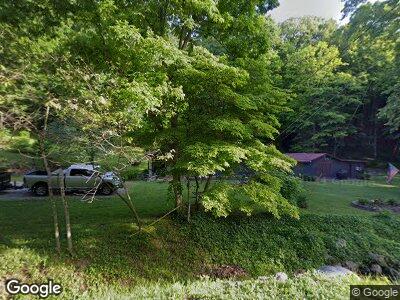
1789 Pin Hook Rd Unit C14 Hillsboro, OH 45133
Estimated Value: $119,000 - $165,000
2
Beds
1
Bath
936
Sq Ft
$146/Sq Ft
Est. Value
About This Home
This home is located at 1789 Pin Hook Rd Unit C14, Hillsboro, OH 45133 and is currently estimated at $136,300, approximately $145 per square foot. 1789 Pin Hook Rd Unit C14 is a home located in Pike County with nearby schools including Western Elementary School and Western High School.
Ownership History
Date
Name
Owned For
Owner Type
Purchase Details
Closed on
Mar 15, 2013
Sold by
George Helen M
Bought by
Molen Larry D
Current Estimated Value
Home Financials for this Owner
Home Financials are based on the most recent Mortgage that was taken out on this home.
Original Mortgage
$54,400
Outstanding Balance
$38,907
Interest Rate
3.46%
Mortgage Type
New Conventional
Estimated Equity
$97,393
Create a Home Valuation Report for This Property
The Home Valuation Report is an in-depth analysis detailing your home's value as well as a comparison with similar homes in the area
Home Values in the Area
Average Home Value in this Area
Purchase History
| Date | Buyer | Sale Price | Title Company |
|---|---|---|---|
| Molen Larry D | $68,000 | None Available |
Source: Public Records
Mortgage History
| Date | Status | Borrower | Loan Amount |
|---|---|---|---|
| Open | Molen Larry D | $54,400 |
Source: Public Records
Tax History Compared to Growth
Tax History
| Year | Tax Paid | Tax Assessment Tax Assessment Total Assessment is a certain percentage of the fair market value that is determined by local assessors to be the total taxable value of land and additions on the property. | Land | Improvement |
|---|---|---|---|---|
| 2024 | $722 | $23,020 | $7,490 | $15,530 |
| 2023 | $722 | $23,020 | $7,490 | $15,530 |
| 2022 | $722 | $22,520 | $7,190 | $15,330 |
| 2021 | $701 | $27,920 | $12,590 | $15,330 |
| 2020 | $706 | $27,920 | $12,590 | $15,330 |
| 2019 | $650 | $25,300 | $11,370 | $13,930 |
| 2018 | $632 | $20,790 | $6,860 | $13,930 |
| 2017 | $777 | $25,300 | $11,370 | $13,930 |
| 2016 | $614 | $19,170 | $3,850 | $15,320 |
| 2015 | $615 | $19,170 | $3,850 | $15,320 |
| 2014 | $612 | $18,780 | $3,460 | $15,320 |
| 2013 | $655 | $18,580 | $3,260 | $15,320 |
| 2012 | $358 | $18,580 | $3,260 | $15,320 |
Source: Public Records
Map
Nearby Homes
- 0 Nace Corner Rd
- 0 Strait Creek Rd Unit 1819608
- 13245 Fort Hill Rd
- 14165 Couch Rd
- 5103 Washburn Rd
- 899 Parker Ridge Rd
- 1641 Fairview Rd
- 664 Strait Creek Rd
- 4655 Grassy Fork Rd
- 0 Louden Rd Unit 1800245
- 3233 State Route 41
- ac Union Hill Rd
- ac State Route 41
- 473 Hilterbran Rd
- 6750 Ferneau Rd
- 31 ac Green Ridge Rd
- 0 Beavers Ridge Rd Unit 1 225010990
- 0 Beavers Ridge Rd
- 836 Hackleshin Rd
- 14703 Brier Rd