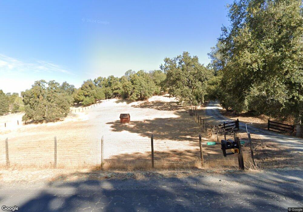
17892 Yosemite Rd Tuolumne, CA 95379
Estimated Value: $278,000 - $485,000
2
Beds
2
Baths
1,516
Sq Ft
$246/Sq Ft
Est. Value
About This Home
This home is located at 17892 Yosemite Rd, Tuolumne, CA 95379 and is currently estimated at $372,674, approximately $245 per square foot. 17892 Yosemite Rd is a home located in Tuolumne County with nearby schools including Summerville Elementary School, Cold Springs High School, and Long Barn High School.
Ownership History
Date
Name
Owned For
Owner Type
Purchase Details
Closed on
Mar 23, 2009
Sold by
Munson David L and Munson Marlene K
Bought by
Munson David L and Munson Marlene K
Current Estimated Value
Create a Home Valuation Report for This Property
The Home Valuation Report is an in-depth analysis detailing your home's value as well as a comparison with similar homes in the area
Home Values in the Area
Average Home Value in this Area
Purchase History
| Date | Buyer | Sale Price | Title Company |
|---|---|---|---|
| Munson David L | -- | None Available |
Source: Public Records
Tax History Compared to Growth
Tax History
| Year | Tax Paid | Tax Assessment Tax Assessment Total Assessment is a certain percentage of the fair market value that is determined by local assessors to be the total taxable value of land and additions on the property. | Land | Improvement |
|---|---|---|---|---|
| 2025 | $1,821 | $179,141 | $28,130 | $151,011 |
| 2024 | $1,821 | $175,629 | $27,579 | $148,050 |
| 2023 | $1,701 | $172,187 | $27,039 | $145,148 |
| 2022 | $1,780 | $168,811 | $26,509 | $142,302 |
| 2021 | $1,747 | $165,502 | $25,990 | $139,512 |
| 2020 | $1,723 | $163,806 | $25,724 | $138,082 |
| 2019 | $1,684 | $160,595 | $25,220 | $135,375 |
| 2018 | $1,624 | $157,447 | $24,726 | $132,721 |
| 2017 | $1,636 | $154,361 | $24,242 | $130,119 |
| 2016 | $1,567 | $151,335 | $23,767 | $127,568 |
| 2015 | $1,544 | $149,062 | $23,410 | $125,652 |
| 2014 | $1,508 | $146,143 | $22,952 | $123,191 |
Source: Public Records
Map
Nearby Homes
- 17851 Skyfarm Dr
- 17900 Yosemite Rd
- 17900 Woodham Carne Rd
- 17852 Yosemite Rd
- 18010 Yosemite Rd
- 17882 Yosemite Rd
- 17890 Saddle Dr
- 17901 Saddle Dr
- 17858 Skyfarm Dr
- 17866 Skyfarm Dr
- 17875 Yosemite Rd
- 18015 Yosemite Rd
- 17856 Yosemite Rd
- 17862 Skyfarm Dr
- 18041 Quail Glen Rd
- 16989 Prairie Dog Dr
- 17807 Saddle Dr
- 16955 Prairie Dog Dr
- 18507 Hershey Rd W
- 16933 Prairie Dog Dr