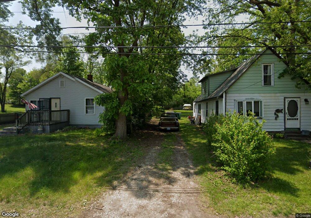
179 16th St N Springfield, MI 49037
Estimated Value: $37,000 - $123,000
3
Beds
2
Baths
1,278
Sq Ft
$66/Sq Ft
Est. Value
About This Home
This home is located at 179 16th St N, Springfield, MI 49037 and is currently estimated at $84,085, approximately $65 per square foot. 179 16th St N is a home located in Calhoun County with nearby schools including Valley View Elementary School, Springfield Middle School, and Battle Creek Central High School.
Ownership History
Date
Name
Owned For
Owner Type
Purchase Details
Closed on
Jun 15, 2021
Sold by
Spiegelberg Sara K
Bought by
Burbank Franklin B
Current Estimated Value
Purchase Details
Closed on
Apr 12, 2019
Sold by
Carter Scott T
Bought by
Burbank Franklin B and Spiegelberg Sara K
Purchase Details
Closed on
Jun 29, 2005
Sold by
Barrus John C and Barrus Linda Kay
Bought by
Carter Scott and Carter Teresa
Home Financials for this Owner
Home Financials are based on the most recent Mortgage that was taken out on this home.
Original Mortgage
$14,800
Interest Rate
5.86%
Mortgage Type
Fannie Mae Freddie Mac
Create a Home Valuation Report for This Property
The Home Valuation Report is an in-depth analysis detailing your home's value as well as a comparison with similar homes in the area
Home Values in the Area
Average Home Value in this Area
Purchase History
| Date | Buyer | Sale Price | Title Company |
|---|---|---|---|
| Burbank Franklin B | -- | None Available | |
| Burbank Franklin B | -- | None Available | |
| Carter Scott | $10,000 | Chicago Title |
Source: Public Records
Mortgage History
| Date | Status | Borrower | Loan Amount |
|---|---|---|---|
| Previous Owner | Carter Scott | $14,800 |
Source: Public Records
Tax History Compared to Growth
Tax History
| Year | Tax Paid | Tax Assessment Tax Assessment Total Assessment is a certain percentage of the fair market value that is determined by local assessors to be the total taxable value of land and additions on the property. | Land | Improvement |
|---|---|---|---|---|
| 2025 | $897 | $29,682 | $0 | $0 |
| 2024 | $656 | $30,177 | $0 | $0 |
| 2023 | $755 | $21,708 | $0 | $0 |
| 2022 | $595 | $18,181 | $0 | $0 |
| 2021 | $708 | $15,916 | $0 | $0 |
| 2020 | $698 | $15,277 | $0 | $0 |
| 2019 | $757 | $13,587 | $0 | $0 |
| 2018 | $0 | $10,393 | $1,046 | $9,347 |
| 2017 | $0 | $10,326 | $0 | $0 |
| 2016 | $0 | $7,886 | $0 | $0 |
| 2015 | -- | $8,299 | $0 | $0 |
| 2014 | -- | $9,750 | $0 | $0 |
Source: Public Records
Map
Nearby Homes
- V/L Lafayette Ave Unit 33
- V/L Lafayette Ave Unit 32
- V/L Lafayette Ave Unit 16
- V/L Lafayette Ave Unit 11
- V/L Avenue C
- 276 Lafayette Ave
- 0 Avenue B
- 636 Hamblin Ave W
- 261 Avenue C
- 41 Avenue B
- 261 Parrish St
- 254 Lafayette Ave
- 612 Hamblin Ave W
- 255 Parish St
- 689 Van Buren St W
- 598 Hamblin Ave W
- 228 Parrish St Unit V/L
- 431 22nd St N
- 15 Grand Ave
- 17 Angell St