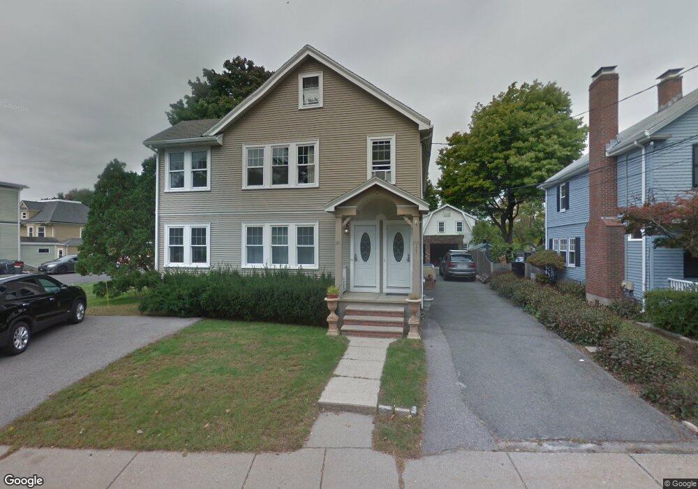
179 Auburndale Ave Unit 181 Auburndale, MA 02466
Auburndale NeighborhoodEstimated Value: $1,246,000 - $1,506,948
4
Beds
2
Baths
2,522
Sq Ft
$549/Sq Ft
Est. Value
About This Home
This home is located at 179 Auburndale Ave Unit 181, Auburndale, MA 02466 and is currently estimated at $1,383,987, approximately $548 per square foot. 179 Auburndale Ave Unit 181 is a home located in Middlesex County with nearby schools including C.C. Burr, F.A. Day Middle School, and Newton North High School.
Ownership History
Date
Name
Owned For
Owner Type
Purchase Details
Closed on
Oct 27, 2015
Sold by
Distefano Frank and Distefano Clara
Bought by
Chen Ejoe
Current Estimated Value
Home Financials for this Owner
Home Financials are based on the most recent Mortgage that was taken out on this home.
Original Mortgage
$570,000
Outstanding Balance
$450,001
Interest Rate
3.9%
Mortgage Type
Purchase Money Mortgage
Estimated Equity
$933,986
Create a Home Valuation Report for This Property
The Home Valuation Report is an in-depth analysis detailing your home's value as well as a comparison with similar homes in the area
Home Values in the Area
Average Home Value in this Area
Purchase History
| Date | Buyer | Sale Price | Title Company |
|---|---|---|---|
| Chen Ejoe | $760,000 | -- |
Source: Public Records
Mortgage History
| Date | Status | Borrower | Loan Amount |
|---|---|---|---|
| Open | Chen Ejoe | $570,000 |
Source: Public Records
Tax History Compared to Growth
Tax History
| Year | Tax Paid | Tax Assessment Tax Assessment Total Assessment is a certain percentage of the fair market value that is determined by local assessors to be the total taxable value of land and additions on the property. | Land | Improvement |
|---|---|---|---|---|
| 2025 | $11,723 | $1,196,200 | $772,100 | $424,100 |
| 2024 | $11,335 | $1,161,400 | $749,600 | $411,800 |
| 2023 | $10,829 | $1,063,800 | $600,700 | $463,100 |
| 2022 | $10,362 | $985,000 | $556,200 | $428,800 |
| 2021 | $9,724 | $903,700 | $510,300 | $393,400 |
| 2020 | $9,435 | $903,700 | $510,300 | $393,400 |
| 2019 | $8,826 | $844,600 | $476,900 | $367,700 |
| 2018 | $8,684 | $802,600 | $448,000 | $354,600 |
| 2017 | $8,188 | $736,300 | $411,000 | $325,300 |
| 2016 | $6,299 | $553,500 | $377,100 | $176,400 |
| 2015 | $6,006 | $517,300 | $352,400 | $164,900 |
Source: Public Records
Map
Nearby Homes
- 160 Pine St Unit 12
- 90 Auburndale Ave
- 17 Crescent St
- 10 Crescent St Unit 1
- 10 Crescent St Unit 2
- 62-64 Rowe St Unit B
- 33 Lill Ave
- 212 River St Unit 2
- 13 Weir St
- 265-267 River St Unit 267
- 265-267 River St Unit 265
- 101-103 Lexington St
- 0 Duncan Rd Unit 72925240
- 334 River St
- 2 Elm St Unit 6
- 2 Elm St Unit 8
- 106 River St Unit 18
- 106 River St Unit 2
- 106 River St Unit 14
- 49 Staniford St
- 179 Auburndale Ave Unit 1
- 173 Auburndale Ave
- 177 Auburn St
- 181 Auburndale Ave Unit 181
- 181 Auburndale Ave Unit 2
- 183 Auburn St
- 180 Auburn St
- 187 Auburndale Ave
- 187 Auburndale Ave Unit 1
- 167 Auburndale Ave
- 184 Auburndale Ave
- 75 Prairie Ave
- 176 Auburndale Ave
- 21 Gambier St
- 79 Prairie Ave
- 170 Auburndale Ave
- 28 Gambier St
- 191 Auburndale Ave
- 163 Auburndale Ave
- 81 Prairie Ave