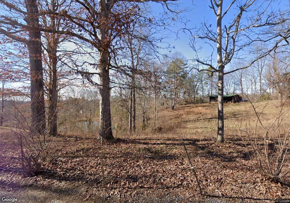
179 Bond Cir Oneida, TN 37841
Estimated Value: $139,210 - $230,000
--
Bed
1
Bath
1,272
Sq Ft
$144/Sq Ft
Est. Value
About This Home
This home is located at 179 Bond Cir, Oneida, TN 37841 and is currently estimated at $182,553, approximately $143 per square foot. 179 Bond Cir is a home located in Scott County with nearby schools including Scott High School.
Ownership History
Date
Name
Owned For
Owner Type
Purchase Details
Closed on
Aug 22, 2008
Sold by
Bond Leland Harry
Bought by
Byrd Phil
Current Estimated Value
Purchase Details
Closed on
Jul 2, 2008
Sold by
Bond Jerry L
Bought by
Harry Bond Leland
Purchase Details
Closed on
Aug 2, 2006
Sold by
Bond Leland H
Bought by
Phil Byrd
Purchase Details
Closed on
Jul 31, 1986
Bought by
Bond Leland H and Bond Phyllis J
Purchase Details
Closed on
Jun 17, 1976
Bought by
Bond Leland H and Bond Phyllis J
Create a Home Valuation Report for This Property
The Home Valuation Report is an in-depth analysis detailing your home's value as well as a comparison with similar homes in the area
Home Values in the Area
Average Home Value in this Area
Purchase History
| Date | Buyer | Sale Price | Title Company |
|---|---|---|---|
| Byrd Phil | $200 | -- | |
| Harry Bond Leland | -- | -- | |
| Phil Byrd | $58,832 | -- | |
| Bond Leland H | -- | -- | |
| Bond Leland H | -- | -- |
Source: Public Records
Tax History Compared to Growth
Tax History
| Year | Tax Paid | Tax Assessment Tax Assessment Total Assessment is a certain percentage of the fair market value that is determined by local assessors to be the total taxable value of land and additions on the property. | Land | Improvement |
|---|---|---|---|---|
| 2024 | $541 | $33,800 | $2,550 | $31,250 |
| 2023 | $541 | $33,800 | $2,550 | $31,250 |
| 2022 | $401 | $16,275 | $2,025 | $14,250 |
| 2021 | $401 | $16,275 | $2,025 | $14,250 |
| 2020 | $401 | $16,275 | $2,025 | $14,250 |
| 2019 | $401 | $16,275 | $2,025 | $14,250 |
| 2018 | $401 | $16,275 | $2,025 | $14,250 |
| 2017 | $431 | $17,500 | $2,025 | $15,475 |
| 2016 | $415 | $17,500 | $2,025 | $15,475 |
| 2015 | $394 | $17,500 | $2,025 | $15,475 |
| 2014 | $394 | $17,500 | $2,025 | $15,475 |
Source: Public Records
Map
Nearby Homes
- 080 015.00 Buffalo Rd
- 2539 Annadell Rd
- 080 013.00 Buffalo Rd
- 9161 Buffalo Rd
- 1645 Annadell Rd
- 0 Buffalo Creek Rd
- 1359 Ditney Trail
- 6116 Paint Rock Rd
- 520 W Hills Rd
- 181 Ellis Cove Ln
- 1793 Jeffers Rd
- 4662 Baker Hwy
- 567 Jeffers Rd
- 3767 Phillips Flats Rd
- 0 Ditney Trail Unit 3 1303567
- 0 Ditney Trail Unit 2 1303424
- 108 Hope St
- 1095 Stanley Creek Rd
- 0 Huntsville To Jacksboro Rd Unit 1216149
- 0 Smith Creek Rd Unit 1309671
- 134 Bond Cir
- 216 Bond Cir
- 120 Bond Cir
- 10538 Buffalo Rd
- 10446 Buffalo Rd
- 10440 Buffalo Rd
- 251 Bond Cir
- 560 Annadell Church Rd
- 10386 Buffalo Rd
- 10546 Buffalo Rd
- 216 Jeffers Bond Ln
- 639 West Ln
- 169 Moffett Ln
- 458 Annadell Church Rd
- 353 West Ln
- 186 James Posey Dr
- 185 James Posey Dr
- 182 West Ln
- 170 West Ln
- 126 West Ln
