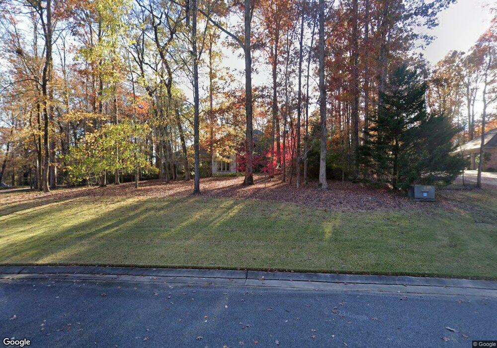
179 Brookside Rd Choudrant, LA 71227
Estimated Value: $940,571 - $1,059,000
Studio
1
Bath
4,413
Sq Ft
$230/Sq Ft
Est. Value
About This Home
This home is located at 179 Brookside Rd, Choudrant, LA 71227 and is currently estimated at $1,013,857, approximately $229 per square foot. 179 Brookside Rd is a home located in Lincoln Parish with nearby schools including Choudrant Elementary School, Choudrant High School, and Ruston Junior High School.
Ownership History
Date
Name
Owned For
Owner Type
Purchase Details
Closed on
Jun 25, 2013
Sold by
Squire Creek Country Club & Development
Bought by
Mcintyre Revocable Living Trust
Current Estimated Value
Purchase Details
Closed on
Jan 16, 2007
Sold by
Henry Stephen Michael and Henry Gayle Gresham
Bought by
Mcintyre Revocable Living Trust
Purchase Details
Closed on
Aug 17, 2005
Sold by
Squire Creek Country Club & Development
Bought by
Henry Stephen Michael and Henry Gayle Gresham
Purchase Details
Closed on
Jan 17, 2005
Sold by
Squire Creek Country Club & Improvement
Bought by
Odom Graham Ronald Hollis and Odom Graham Judith
Create a Home Valuation Report for This Property
The Home Valuation Report is an in-depth analysis detailing your home's value as well as a comparison with similar homes in the area
Purchase History
| Date | Buyer | Sale Price | Title Company |
|---|---|---|---|
| Mcintyre Revocable Living Trust | $500 | None Available | |
| Mcintyre Revocable Living Trust | $101,000 | None Available | |
| Henry Stephen Michael | $31,072 | None Available | |
| Odom Graham Ronald Hollis | $33,982 | None Available |
Source: Public Records
Tax History Compared to Growth
Tax History
| Year | Tax Paid | Tax Assessment Tax Assessment Total Assessment is a certain percentage of the fair market value that is determined by local assessors to be the total taxable value of land and additions on the property. | Land | Improvement |
|---|---|---|---|---|
| 2024 | $6,344 | $82,123 | $8,760 | $73,363 |
| 2023 | $6,278 | $78,098 | $8,760 | $69,338 |
| 2022 | $6,235 | $78,098 | $8,760 | $69,338 |
| 2021 | $6,132 | $78,098 | $8,760 | $69,338 |
| 2020 | $6,144 | $78,098 | $8,760 | $69,338 |
| 2019 | $6,235 | $78,098 | $8,760 | $69,338 |
| 2018 | $6,239 | $78,098 | $8,760 | $69,338 |
| 2017 | $6,255 | $78,098 | $8,760 | $69,338 |
| 2016 | $6,387 | $0 | $0 | $0 |
| 2015 | $6,444 | $72,904 | $8,040 | $64,864 |
| 2013 | $11,558 | $72,904 | $8,040 | $64,864 |
Source: Public Records
Map
Nearby Homes
- 134 Twin Creeks Bend
- 448 Loblolly Ln
- 208 Cherrybark Way
- 190 Loring Bend
- 120 Douglas Ln
- 190 Meadows Dr
- 178 Meadows Dr
- 1950 Louisiana 821
- 201 Vintage Ln
- 0 Spillers Rd
- 00 Cheatwood Rd
- 219 Lamar Rd
- 634 Cheatwood Rd
- 106 Tes Dr
- 490 New Hope Rd Unit 514 New Hope Rd., 00
- 00 Par Road 43
- 500 Hogan Rd
- 0 Par Road 41
- 510 Louisiana 556
- 186 Deer Creek Rd
- 191 Brookside Rd
- 149 Brookside Rd
- 148 Twin Creeks Bend
- 178 Brookside Rd
- 164 Twin Creeks Bend
- Lot #5 Twin Creeks Bend
- 194 Brookside Rd
- 181 Twin Creeks Bend
- 202 Brookside Rd
- 192 Twin Creeks Bend
- 150 Shady Nook
- 108 Shady Nook Ln
- 143 Hopewell Hill Dr
- 18 Shady Nook Ln
- 16 Shady Nook Ln
- 123 Overbrook Way
- 120 Hopewell Hill Dr
- 205 Rinehart Farms Rd
- 252 Keeneland Ct
- 248 Keeneland Ct
