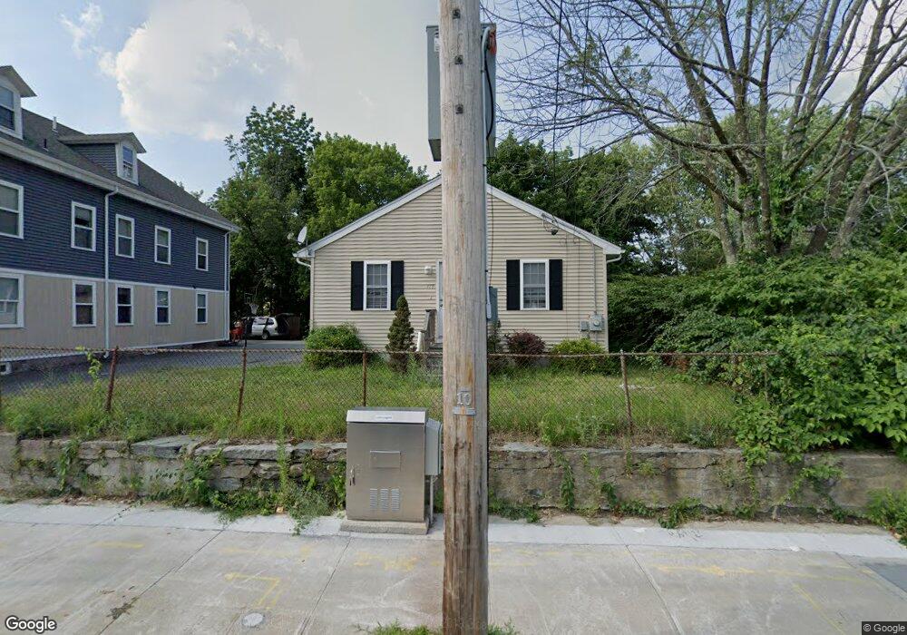
179 High St Woonsocket, RI 02895
Downtown Woonsocket NeighborhoodEstimated Value: $357,000 - $503,000
3
Beds
1
Bath
1,144
Sq Ft
$351/Sq Ft
Est. Value
About This Home
This home is located at 179 High St, Woonsocket, RI 02895 and is currently estimated at $400,978, approximately $350 per square foot. 179 High St is a home located in Providence County with nearby schools including Woonsocket High School, Rise Prep Mayoral Academy Middle School, and Rise Prep Mayoral Academy.
Ownership History
Date
Name
Owned For
Owner Type
Purchase Details
Closed on
Aug 31, 2007
Sold by
Silva Antonio
Bought by
Ndoye Younousse
Current Estimated Value
Home Financials for this Owner
Home Financials are based on the most recent Mortgage that was taken out on this home.
Original Mortgage
$195,000
Outstanding Balance
$123,212
Interest Rate
6.71%
Mortgage Type
Purchase Money Mortgage
Estimated Equity
$277,766
Purchase Details
Closed on
Jan 19, 2006
Sold by
Smith Scott
Bought by
Silva Antonio
Home Financials for this Owner
Home Financials are based on the most recent Mortgage that was taken out on this home.
Original Mortgage
$158,400
Interest Rate
6.33%
Mortgage Type
Purchase Money Mortgage
Create a Home Valuation Report for This Property
The Home Valuation Report is an in-depth analysis detailing your home's value as well as a comparison with similar homes in the area
Home Values in the Area
Average Home Value in this Area
Purchase History
| Date | Buyer | Sale Price | Title Company |
|---|---|---|---|
| Ndoye Younousse | $195,000 | -- | |
| Silva Antonio | $198,000 | -- | |
| Ndoye Younousse | $195,000 | -- | |
| Silva Antonio | $198,000 | -- |
Source: Public Records
Mortgage History
| Date | Status | Borrower | Loan Amount |
|---|---|---|---|
| Open | Silva Antonio | $195,000 | |
| Closed | Silva Antonio | $195,000 | |
| Previous Owner | Silva Antonio | $158,400 | |
| Previous Owner | Silva Antonio | $39,600 |
Source: Public Records
Tax History
| Year | Tax Paid | Tax Assessment Tax Assessment Total Assessment is a certain percentage of the fair market value that is determined by local assessors to be the total taxable value of land and additions on the property. | Land | Improvement |
|---|---|---|---|---|
| 2025 | $4,393 | $391,200 | $88,900 | $302,300 |
| 2024 | $4,212 | $289,700 | $90,500 | $199,200 |
| 2023 | $4,050 | $289,700 | $90,500 | $199,200 |
| 2022 | $4,050 | $289,700 | $90,500 | $199,200 |
| 2021 | $4,085 | $172,000 | $36,600 | $135,400 |
| 2020 | $4,128 | $172,000 | $36,600 | $135,400 |
| 2018 | $4,142 | $172,000 | $36,600 | $135,400 |
| 2017 | $4,202 | $139,600 | $40,400 | $99,200 |
| 2016 | $4,445 | $139,600 | $40,400 | $99,200 |
| 2015 | $5,107 | $139,600 | $40,400 | $99,200 |
| 2014 | $5,032 | $140,000 | $44,400 | $95,600 |
Source: Public Records
Map
Nearby Homes
- 115 Railroad St
- 0 N Main St Unit 1401765
- 180 Allen St Unit 104
- 99 Allen St Unit 205
- 58 Oakley Rd
- 36 Fairmount St
- 35 Greene St
- 83 Summer St
- 308 Harris Ave
- 379 Front St
- 70 W Park Place
- 130 E School St
- 233 Grove St
- 56 Winter St
- 154 156 Winter St
- 0 Holbrook Ln Unit 1402850
- 24 Paradis Ave
- 526 Bernon St
- 458 Prospect St
- 74 Maple St
Your Personal Tour Guide
Ask me questions while you tour the home.