179 Lab Rd Allenspark, CO 80510
Allenspark NeighborhoodEstimated Value: $446,000 - $634,801
3
Beds
2
Baths
960
Sq Ft
$583/Sq Ft
Est. Value
About This Home
This home is located at 179 Lab Rd, Allenspark, CO 80510 and is currently estimated at $559,934, approximately $583 per square foot. 179 Lab Rd is a home located in Boulder County with nearby schools including Estes Park K-5 School, Estes Park Options School, and Estes Park Middle School.
Ownership History
Date
Name
Owned For
Owner Type
Purchase Details
Closed on
Oct 24, 2013
Sold by
Diehl Sue and Diehl Rosemary
Bought by
Diehls Dead End Llc
Current Estimated Value
Purchase Details
Closed on
Sep 23, 2009
Sold by
Gardner Elizabeth Ann and Diehl Harvey R
Bought by
Gardner Elizabeth Ann
Purchase Details
Closed on
Aug 28, 1997
Sold by
Diehl Helen L
Bought by
Helen Louise Diehl Revocable Trust
Purchase Details
Closed on
Jan 14, 1993
Bought by
Diehls Dead End Llc
Purchase Details
Closed on
Oct 20, 1964
Bought by
Diehls Dead End Llc
Create a Home Valuation Report for This Property
The Home Valuation Report is an in-depth analysis detailing your home's value as well as a comparison with similar homes in the area
Home Values in the Area
Average Home Value in this Area
Purchase History
| Date | Buyer | Sale Price | Title Company |
|---|---|---|---|
| Diehls Dead End Llc | -- | None Available | |
| Diehls Dead End Llc | -- | None Available | |
| Gardner Elizabeth Ann | -- | None Available | |
| Helen Louise Diehl Revocable Trust | -- | -- | |
| Diehls Dead End Llc | -- | -- | |
| Diehls Dead End Llc | -- | -- | |
| Diehls Dead End Llc | -- | -- |
Source: Public Records
Tax History Compared to Growth
Tax History
| Year | Tax Paid | Tax Assessment Tax Assessment Total Assessment is a certain percentage of the fair market value that is determined by local assessors to be the total taxable value of land and additions on the property. | Land | Improvement |
|---|---|---|---|---|
| 2024 | $1,794 | $30,425 | $7,792 | $22,633 |
| 2023 | $1,794 | $30,425 | $11,477 | $22,633 |
| 2022 | $1,755 | $27,230 | $11,349 | $15,881 |
| 2021 | $1,795 | $28,014 | $11,676 | $16,338 |
| 2020 | $1,441 | $22,094 | $10,368 | $11,726 |
| 2019 | $1,389 | $22,094 | $10,368 | $11,726 |
| 2018 | $1,413 | $21,960 | $11,952 | $10,008 |
| 2017 | $1,398 | $24,278 | $13,214 | $11,064 |
| 2016 | $1,350 | $21,659 | $12,975 | $8,684 |
| 2015 | $1,318 | $20,012 | $3,025 | $16,987 |
| 2014 | $1,281 | $20,012 | $3,025 | $16,987 |
Source: Public Records
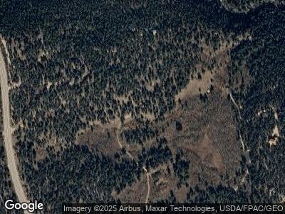
Map
Nearby Homes
- 246 Tahosa Park Rd S
- 11563 Peak To Peak Dr
- 494 N Skinner Rd
- 287 S Skinner Rd
- 1134 Highway 7 Business
- 177 Bill Waite Rd
- 1217 Big Owl Rd
- 223 Taylor Rd
- 585 Taylor Rd
- 10 Kittle Ct
- 212 Valley Rd
- 2420 Big Owl Rd
- 928 Ski Rd
- 2426 Riverside Dr
- 138 Moss Brook Rd
- 2637 Riverside Dr
- 3154 Riverside Dr
- 555 Riverside Dr
- 818 Riverside Dr
- 818 Riverside Dr Unit A