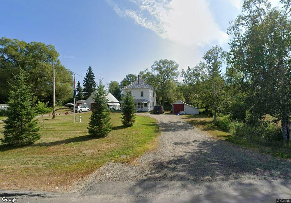
179 Main St Eustis, ME 04936
Estimated Value: $177,000 - $337,000
2
Beds
2
Baths
720
Sq Ft
$358/Sq Ft
Est. Value
About This Home
This home is located at 179 Main St, Eustis, ME 04936 and is currently estimated at $258,054, approximately $358 per square foot. 179 Main St is a home with nearby schools including Stratton Elementary School.
Create a Home Valuation Report for This Property
The Home Valuation Report is an in-depth analysis detailing your home's value as well as a comparison with similar homes in the area
Tax History
| Year | Tax Paid | Tax Assessment Tax Assessment Total Assessment is a certain percentage of the fair market value that is determined by local assessors to be the total taxable value of land and additions on the property. | Land | Improvement |
|---|---|---|---|---|
| 2025 | $1,881 | $213,700 | $71,300 | $142,400 |
| 2024 | $1,638 | $187,200 | $51,900 | $135,300 |
| 2023 | $1,685 | $188,300 | $51,900 | $136,400 |
| 2022 | $1,673 | $176,100 | $51,900 | $124,200 |
| 2021 | $1,383 | $107,200 | $40,700 | $66,500 |
| 2020 | $1,340 | $107,200 | $40,700 | $66,500 |
| 2019 | $1,297 | $107,200 | $40,700 | $66,500 |
| 2018 | $1,404 | $107,200 | $40,700 | $66,500 |
| 2017 | $1,394 | $107,200 | $40,700 | $66,500 |
| 2016 | $1,369 | $107,200 | $40,700 | $66,500 |
| 2015 | $1,415 | $107,200 | $40,700 | $66,500 |
| 2014 | -- | $107,800 | $40,700 | $67,100 |
| 2009 | -- | $116,000 | $47,500 | $68,500 |
Source: Public Records
Map
Nearby Homes
- 186 Main St
- 9 Tranquility Ln
- 14 Dam Rd
- 27 Peabody Rd
- 11 Porcupine Trail
- 27 Reed Rd
- 81 B Red Pine Ln
- 6-01 Eustis Ridge Rd
- 60&66 Gravel Pit Rd
- 484 Eustis Ridge Rd
- 64 Ip Rd
- 233 Porter Nadeau Rd
- 95-4 Lot D Porter Nadeau Rd
- 54 Eustis Village Rd
- 59 Eustis Village Rd
- 118 Glidden Rd
- 1480 Arnold Trail
- 42 Rabbit Hollow Rd
- 4004 Bigelow Station
- 6099 All Village On the Green Rd
Your Personal Tour Guide
Ask me questions while you tour the home.