Estimated Value: $742,569 - $840,000
--
Bed
2
Baths
2,303
Sq Ft
$341/Sq Ft
Est. Value
About This Home
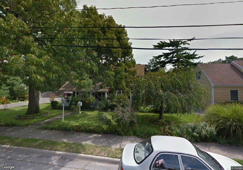
This home is located at 179 Monell Ave Unit X, Islip, NY 11751 and is currently estimated at $785,892, approximately $341 per square foot. 179 Monell Ave Unit X is a home located in Suffolk County with nearby schools including Wing Elementary School, Islip Middle School, and Islip High School.
Ownership History
Date
Name
Owned For
Owner Type
Purchase Details
Closed on
Jun 2, 2016
Sold by
Koltun Peter A and Koltun Frances M
Bought by
Mckeon John P and Mckeon Frida
Current Estimated Value
Home Financials for this Owner
Home Financials are based on the most recent Mortgage that was taken out on this home.
Original Mortgage
$510,581
Outstanding Balance
$410,292
Interest Rate
3.87%
Mortgage Type
FHA
Estimated Equity
$375,600
Create a Home Valuation Report for This Property
The Home Valuation Report is an in-depth analysis detailing your home's value as well as a comparison with similar homes in the area
Home Values in the Area
Average Home Value in this Area
Purchase History
| Date | Buyer | Sale Price | Title Company |
|---|---|---|---|
| Mckeon John P | $520,000 | None Available |
Source: Public Records
Mortgage History
| Date | Status | Borrower | Loan Amount |
|---|---|---|---|
| Open | Mckeon John P | $510,581 |
Source: Public Records
Tax History Compared to Growth
Tax History
| Year | Tax Paid | Tax Assessment Tax Assessment Total Assessment is a certain percentage of the fair market value that is determined by local assessors to be the total taxable value of land and additions on the property. | Land | Improvement |
|---|---|---|---|---|
| 2024 | $14,152 | $43,100 | $13,300 | $29,800 |
| 2023 | $14,152 | $43,100 | $13,300 | $29,800 |
| 2022 | $7,898 | $43,100 | $13,300 | $29,800 |
| 2021 | $7,898 | $43,100 | $13,300 | $29,800 |
| 2020 | $8,717 | $43,100 | $13,300 | $29,800 |
| 2019 | $7,898 | $0 | $0 | $0 |
| 2018 | -- | $43,100 | $13,300 | $29,800 |
| 2017 | $18,370 | $43,100 | $13,300 | $29,800 |
| 2016 | $7,932 | $43,100 | $13,300 | $29,800 |
| 2015 | -- | $43,100 | $13,300 | $29,800 |
| 2014 | -- | $43,100 | $13,300 | $29,800 |
Source: Public Records
Map
Nearby Homes
- 25 1st St
- 120 Church Ave
- 77 Church Ave
- 136 Cedar Ave
- 110 Saint Marks Ln
- 24 Hollister Ln
- 140 Ocean Ave
- 57 Wave Crest Dr
- 1 Bayview Ave
- 287 Cedar Ave
- 300 Maple St
- 52 Marvin Ln
- 375 Ocean Ave
- 46 N Ocean Ave
- 59 Wingam Dr
- 150 Main St Unit 32
- 150 Main St Unit 57
- 11 Woodside Ave
- 11 Allen Point Rd
- 10 Great Cove Ln