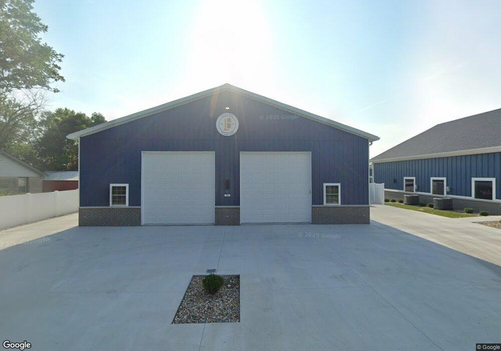
179 N State St Whiteland, IN 46184
Estimated Value: $208,000 - $220,000
2
Beds
2
Baths
1,032
Sq Ft
$207/Sq Ft
Est. Value
About This Home
This home is located at 179 N State St, Whiteland, IN 46184 and is currently estimated at $213,187, approximately $206 per square foot. 179 N State St is a home located in Johnson County with nearby schools including Whiteland Elementary School, Clark-Pleasant Middle School, and Whiteland Community High School.
Ownership History
Date
Name
Owned For
Owner Type
Purchase Details
Closed on
Sep 21, 2023
Sold by
Atchason Chris D
Bought by
Wrigley Real Estate Holdings Llc
Current Estimated Value
Purchase Details
Closed on
May 11, 2007
Sold by
Lasalle Bank Na
Bought by
Atchason Chris D
Home Financials for this Owner
Home Financials are based on the most recent Mortgage that was taken out on this home.
Original Mortgage
$85,000
Interest Rate
6.22%
Mortgage Type
New Conventional
Purchase Details
Closed on
Feb 6, 2007
Sold by
Voris Jack D and Voris Marjorie
Bought by
Lasalle Bank Na
Create a Home Valuation Report for This Property
The Home Valuation Report is an in-depth analysis detailing your home's value as well as a comparison with similar homes in the area
Home Values in the Area
Average Home Value in this Area
Purchase History
| Date | Buyer | Sale Price | Title Company |
|---|---|---|---|
| Wrigley Real Estate Holdings Llc | -- | Quality Title | |
| Atchason Chris D | -- | None Available | |
| Lasalle Bank Na | -- | None Available |
Source: Public Records
Mortgage History
| Date | Status | Borrower | Loan Amount |
|---|---|---|---|
| Previous Owner | Atchason Chris D | $85,000 |
Source: Public Records
Tax History Compared to Growth
Tax History
| Year | Tax Paid | Tax Assessment Tax Assessment Total Assessment is a certain percentage of the fair market value that is determined by local assessors to be the total taxable value of land and additions on the property. | Land | Improvement |
|---|---|---|---|---|
| 2025 | $510 | $260,900 | $27,700 | $233,200 |
| 2024 | $510 | $24,400 | $24,400 | $0 |
| 2023 | $720 | $99,500 | $28,700 | $70,800 |
| 2022 | $609 | $88,500 | $23,300 | $65,200 |
| 2021 | $410 | $74,400 | $20,700 | $53,700 |
| 2020 | $385 | $68,300 | $12,800 | $55,500 |
| 2019 | $356 | $63,200 | $12,800 | $50,400 |
| 2018 | $359 | $61,800 | $9,800 | $52,000 |
| 2017 | $362 | $61,300 | $9,800 | $51,500 |
| 2016 | $374 | $61,400 | $9,800 | $51,600 |
| 2014 | $360 | $58,500 | $11,200 | $47,300 |
| 2013 | $360 | $58,200 | $11,200 | $47,000 |
Source: Public Records
Map
Nearby Homes
- 630 Walnut St
- 650 E Pearl St
- Henley Plan at Saddlebrook Farms
- Fairfax Plan at Saddlebrook Farms - North
- 841 E Pearl St
- Henley Plan at Saddlebrook Farms - North
- Freeport Plan at Saddlebrook Farms - North
- Johnstown Plan at Saddlebrook Farms - North
- Dayton Plan at Saddlebrook Farms - North
- Chatham Plan at Saddlebrook Farms - North
- Dayton Plan at Saddlebrook Farms
- Harmony Plan at Saddlebrook Farms - North
- Johnstown Plan at Saddlebrook Farms
- Stamford Plan at Saddlebrook Farms - North
- 905 Saddlebrook Farms Blvd
- 935 Saddlebrook Farms Blvd
- 0 N 200 (Honey Creek Rd ) W Unit MBR21845718
- 930 Saddlebrook Farms Blvd
- 60 Benfield Dr
- 50 Benfield Dr