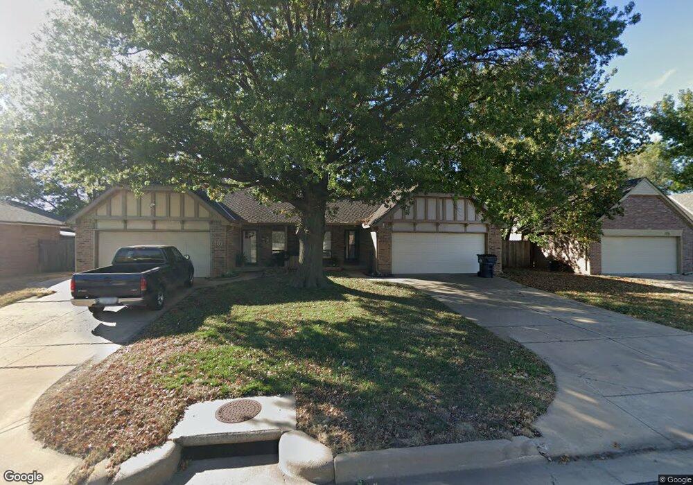
179 S Lark Ln Wichita, KS 67209
Far West Wichita NeighborhoodEstimated Value: $197,000 - $199,232
2
Beds
2
Baths
952
Sq Ft
$208/Sq Ft
Est. Value
About This Home
This home is located at 179 S Lark Ln, Wichita, KS 67209 and is currently estimated at $198,116, approximately $208 per square foot. 179 S Lark Ln is a home located in Sedgwick County with nearby schools including Peterson Elementary School, Wilbur Middle School, and Wichita Northwest High School.
Ownership History
Date
Name
Owned For
Owner Type
Purchase Details
Closed on
Dec 31, 2024
Sold by
Alldritt Carmen and Bassett Niki
Bought by
Bassett Niki
Current Estimated Value
Purchase Details
Closed on
Mar 14, 2023
Sold by
Missing Marjorie
Bought by
Missing Marjorie and Alldritt Carmen
Purchase Details
Closed on
Sep 19, 2008
Sold by
Pelz Monte K and Pelz Ramona R
Bought by
Missing Marjorie J
Create a Home Valuation Report for This Property
The Home Valuation Report is an in-depth analysis detailing your home's value as well as a comparison with similar homes in the area
Home Values in the Area
Average Home Value in this Area
Purchase History
| Date | Buyer | Sale Price | Title Company |
|---|---|---|---|
| Bassett Niki | -- | None Listed On Document | |
| Bassett Niki | -- | None Listed On Document | |
| Missing Marjorie | -- | None Listed On Document | |
| Missing Marjorie J | -- | None Available |
Source: Public Records
Tax History Compared to Growth
Tax History
| Year | Tax Paid | Tax Assessment Tax Assessment Total Assessment is a certain percentage of the fair market value that is determined by local assessors to be the total taxable value of land and additions on the property. | Land | Improvement |
|---|---|---|---|---|
| 2025 | $2,019 | $20,068 | $7,027 | $13,041 |
| 2024 | $2,019 | $19,114 | $5,785 | $13,329 |
| 2023 | $2,019 | $17,734 | $5,785 | $11,949 |
| 2022 | $1,672 | $15,249 | $5,451 | $9,798 |
| 2021 | $1,602 | $14,122 | $3,151 | $10,971 |
| 2020 | $1,515 | $13,317 | $3,151 | $10,166 |
| 2019 | $1,443 | $12,685 | $3,151 | $9,534 |
| 2018 | $1,390 | $12,202 | $3,071 | $9,131 |
| 2017 | $1,322 | $0 | $0 | $0 |
| 2016 | $1,320 | $0 | $0 | $0 |
| 2015 | $1,311 | $0 | $0 | $0 |
| 2014 | $1,325 | $0 | $0 | $0 |
Source: Public Records
Map
Nearby Homes
- 110 N Prescott St
- 238 N Mesa St
- 373 S Covington St
- 11112 W Rolling Hills Dr
- 11508 W Douglas Ave
- 236 S Parkridge St
- 209 N Milstead St
- 410 N David St
- 1300 S Fieldcrest St
- 126 S Coach House Rd
- 11005 W Taylor Cir
- 324 N Fairway Ave
- 115 N Westfield St
- 12018 Meribeau Ct
- 11218 W Taylor St
- 31 W Rolling Hills Ct
- 133 N Arcadia St
- 9109 W Douglas Ave
- 9620 W Tee Ln
- 11110 W Central Ave