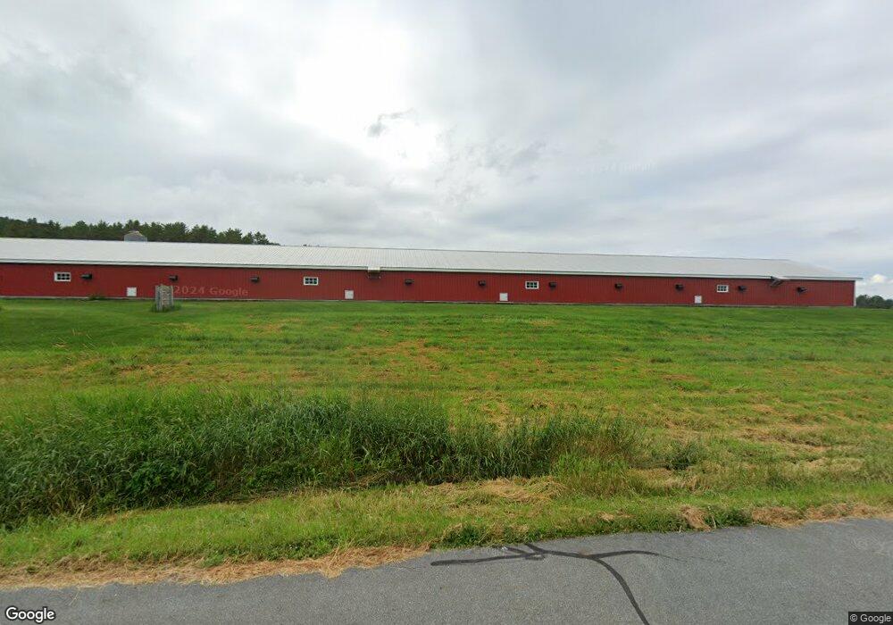
179 Stanton Rd Monroe, NH 03771
Estimated Value: $422,083 - $639,000
3
Beds
2
Baths
2,682
Sq Ft
$199/Sq Ft
Est. Value
About This Home
This home is located at 179 Stanton Rd, Monroe, NH 03771 and is currently estimated at $533,271, approximately $198 per square foot. 179 Stanton Rd is a home with nearby schools including Monroe Consolidated School.
Ownership History
Date
Name
Owned For
Owner Type
Purchase Details
Closed on
Dec 20, 2017
Sold by
Regis Robert T and Regis Deborah A
Bought by
Bliss Jilliann S and Bliss Sean A
Current Estimated Value
Home Financials for this Owner
Home Financials are based on the most recent Mortgage that was taken out on this home.
Original Mortgage
$242,500
Outstanding Balance
$205,883
Interest Rate
3.9%
Mortgage Type
Purchase Money Mortgage
Estimated Equity
$327,388
Create a Home Valuation Report for This Property
The Home Valuation Report is an in-depth analysis detailing your home's value as well as a comparison with similar homes in the area
Home Values in the Area
Average Home Value in this Area
Purchase History
| Date | Buyer | Sale Price | Title Company |
|---|---|---|---|
| Bliss Jilliann S | $250,000 | -- |
Source: Public Records
Mortgage History
| Date | Status | Borrower | Loan Amount |
|---|---|---|---|
| Open | Bliss Jilliann S | $242,500 | |
| Previous Owner | Bliss Jilliann S | $250,000 |
Source: Public Records
Tax History Compared to Growth
Tax History
| Year | Tax Paid | Tax Assessment Tax Assessment Total Assessment is a certain percentage of the fair market value that is determined by local assessors to be the total taxable value of land and additions on the property. | Land | Improvement |
|---|---|---|---|---|
| 2024 | $4,303 | $403,700 | $53,100 | $350,600 |
| 2023 | $3,928 | $403,700 | $53,100 | $350,600 |
| 2022 | $2,887 | $236,800 | $45,100 | $191,700 |
| 2020 | $2,837 | $236,800 | $45,100 | $191,700 |
| 2019 | $2,685 | $236,800 | $45,100 | $191,700 |
| 2018 | $2,531 | $236,800 | $45,100 | $191,700 |
| 2016 | $2,901 | $255,800 | $41,400 | $214,400 |
| 2015 | $2,691 | $255,800 | $41,400 | $214,400 |
| 2014 | $3,050 | $254,400 | $41,400 | $213,000 |
| 2012 | $3,575 | $315,500 | $50,100 | $265,400 |
Source: Public Records
Map
Nearby Homes
- 1952 Monroe Rd
- 1950 Monroe Rd
- Lot 6 N Skinny Ridge Rd
- 0 Denio Rd Unit 5059200
- 0 Denio Rd Unit 5059211
- 0 Denio Rd Unit 5059215
- 0 Denio Rd Unit 24587948
- 0 Denio Rd
- 0 Denio Rd Unit 5059206
- 0 Denio Rd Unit 24587953
- - Denio Rd
- 128 Valley View Rd
- 441 Tower Rd
- 205 Hurd Hill Rd
- 1374 Old Silo Rd
- 35 Langway Rd
- 396 Nelson Rd
- 00 Coppermine Rd Unit 59
- 48 Wetherbee Rd
- 1573 US Route 5 S
- 191 Stanton Rd
- 233 Stanton Rd
- 366 Stanton Rd
- 3850 Littleton Rd
- 3824 Littleton Rd
- 3814 Littleton Rd
- 3807 Littleton Rd
- 2061 Monroe Rd
- 3736 Littleton Rd
- 3588 Littleton Rd
- 2005 Monroe Rd
- 3630 Littleton Rd
- 3604 Littleton Rd
- 3619 Littleton Rd
- 3480 Littleton Rd
- 1996 Monroe Rd
- 160 Hilltop Rd
- 3486 Littleton Rd
- 1857 Monroe Rd
- 72 Hill Top Rd
