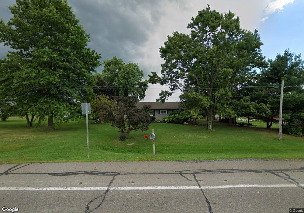
179 State Route 42 West Salem, OH 44287
Estimated Value: $225,000 - $310,000
3
Beds
1
Bath
1,624
Sq Ft
$156/Sq Ft
Est. Value
About This Home
This home is located at 179 State Route 42, West Salem, OH 44287 and is currently estimated at $252,847, approximately $155 per square foot. 179 State Route 42 is a home located in Ashland County with nearby schools including Black River Education Center Elementary School, Black River Education Center Middle School, and Black River High School.
Ownership History
Date
Name
Owned For
Owner Type
Purchase Details
Closed on
Mar 13, 2018
Sold by
Dennison Mark S
Bought by
Dreibelbis Ronda A
Current Estimated Value
Home Financials for this Owner
Home Financials are based on the most recent Mortgage that was taken out on this home.
Original Mortgage
$99,875
Outstanding Balance
$85,258
Interest Rate
4.22%
Mortgage Type
New Conventional
Estimated Equity
$167,589
Purchase Details
Closed on
May 15, 2003
Sold by
Zsarnay Kenneth L
Bought by
Dennison Mark S
Purchase Details
Closed on
Jan 1, 1990
Bought by
Zsarnay Kenneth L
Create a Home Valuation Report for This Property
The Home Valuation Report is an in-depth analysis detailing your home's value as well as a comparison with similar homes in the area
Home Values in the Area
Average Home Value in this Area
Purchase History
| Date | Buyer | Sale Price | Title Company |
|---|---|---|---|
| Dreibelbis Ronda A | $117,500 | Attorney Only | |
| Dennison Mark S | $121,000 | -- | |
| Zsarnay Kenneth L | -- | -- |
Source: Public Records
Mortgage History
| Date | Status | Borrower | Loan Amount |
|---|---|---|---|
| Open | Dreibelbis Ronda A | $99,875 |
Source: Public Records
Tax History Compared to Growth
Tax History
| Year | Tax Paid | Tax Assessment Tax Assessment Total Assessment is a certain percentage of the fair market value that is determined by local assessors to be the total taxable value of land and additions on the property. | Land | Improvement |
|---|---|---|---|---|
| 2024 | $1,875 | $53,360 | $8,070 | $45,290 |
| 2023 | $1,875 | $53,360 | $8,070 | $45,290 |
| 2022 | $1,669 | $42,680 | $6,450 | $36,230 |
| 2021 | $1,716 | $42,680 | $6,450 | $36,230 |
| 2020 | $1,679 | $42,680 | $6,450 | $36,230 |
| 2019 | $1,461 | $36,570 | $6,490 | $30,080 |
| 2018 | $1,480 | $36,570 | $6,490 | $30,080 |
| 2017 | $1,336 | $36,570 | $6,490 | $30,080 |
| 2016 | $1,336 | $32,360 | $5,740 | $26,620 |
| 2015 | $1,324 | $32,360 | $5,740 | $26,620 |
| 2013 | $1,511 | $35,740 | $5,600 | $30,140 |
Source: Public Records
Map
Nearby Homes
- 568 County Road 175
- 0 Township Road 810
- 58 State Route 42
- 174 County Road 700
- 76 County Road 1100
- 254 E Congress St
- 195 County Road 620
- 1137 County Road 175
- 902 Ohio 89
- 732 Ohio 89
- 439 N Main St
- 566 County Road 175
- 9653 N Elyria Rd
- 113 Flemming Rd
- 1129 Cinnamon Dr S
- 1020 Cinnamon Dr
- 1085 Olive Place
- 1175 Trillium Ct
- 0 Laurel Dr
- S/L Ginko Ct Unit 1212 & 1213
- 179 U S 42 W
- 166 State Route 42
- 192 State Route 42
- 878 County Road 175
- 157 State Route 42
- 812 County Road 175
- 147 U S 42
- 224 State Route 42
- 191 State Route 42
- 197 State Route 42
- 898 County Road 175
- 902 County Road 175
- 906 County Road 175
- 841 Township Road 133
- 211 State Route 42
- 151 Township Road 900
- 0 Twp Rd 133 Unit 1502403
- 0 Twp Road 133 Unit 3859670
- 0 Twp Rd 133 Unit 219293
- 0 Twp Rd 133 Unit 217641