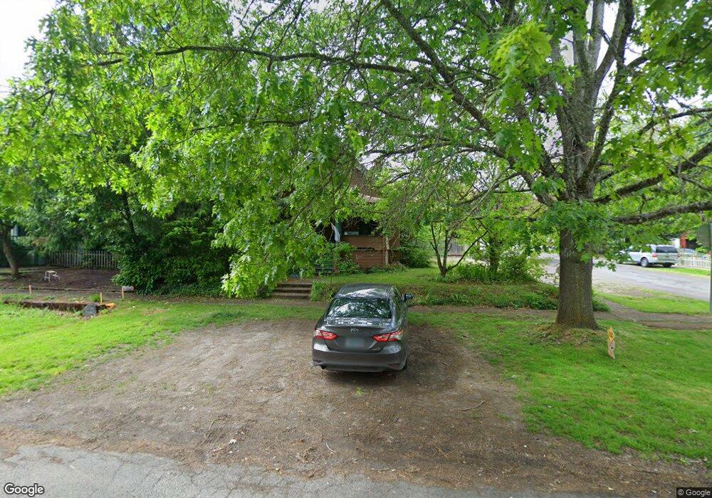
1790 5th Ave West Linn, OR 97068
Willamette NeighborhoodEstimated Value: $741,000 - $862,000
5
Beds
2
Baths
2,965
Sq Ft
$269/Sq Ft
Est. Value
About This Home
This home is located at 1790 5th Ave, West Linn, OR 97068 and is currently estimated at $798,566, approximately $269 per square foot. 1790 5th Ave is a home located in Clackamas County with nearby schools including Willamette Primary School, Athey Creek Middle School, and West Linn High School.
Ownership History
Date
Name
Owned For
Owner Type
Purchase Details
Closed on
Feb 16, 2022
Sold by
Selvaggio Michael
Bought by
Selvaggio Michael and Lewis Christine
Current Estimated Value
Home Financials for this Owner
Home Financials are based on the most recent Mortgage that was taken out on this home.
Original Mortgage
$415,000
Outstanding Balance
$385,286
Interest Rate
3.69%
Mortgage Type
New Conventional
Estimated Equity
$413,280
Purchase Details
Closed on
Aug 4, 2011
Sold by
Helligas Aron C
Bought by
Selvaggio Michael
Home Financials for this Owner
Home Financials are based on the most recent Mortgage that was taken out on this home.
Original Mortgage
$302,141
Interest Rate
4.37%
Mortgage Type
FHA
Purchase Details
Closed on
Mar 22, 2004
Sold by
Helligas Faye L
Bought by
Helligas Aron C
Create a Home Valuation Report for This Property
The Home Valuation Report is an in-depth analysis detailing your home's value as well as a comparison with similar homes in the area
Home Values in the Area
Average Home Value in this Area
Purchase History
| Date | Buyer | Sale Price | Title Company |
|---|---|---|---|
| Selvaggio Michael | -- | None Listed On Document | |
| Selvaggio Michael | $310,000 | Wfg Title | |
| Helligas Aron C | -- | -- |
Source: Public Records
Mortgage History
| Date | Status | Borrower | Loan Amount |
|---|---|---|---|
| Open | Selvaggio Michael | $415,000 | |
| Previous Owner | Selvaggio Michael | $302,141 |
Source: Public Records
Tax History Compared to Growth
Tax History
| Year | Tax Paid | Tax Assessment Tax Assessment Total Assessment is a certain percentage of the fair market value that is determined by local assessors to be the total taxable value of land and additions on the property. | Land | Improvement |
|---|---|---|---|---|
| 2025 | $4,878 | $253,095 | -- | -- |
| 2024 | $4,695 | $245,724 | -- | -- |
| 2023 | $4,695 | $238,567 | $0 | $0 |
| 2022 | $4,432 | $231,619 | $0 | $0 |
| 2021 | $4,207 | $224,873 | $0 | $0 |
| 2020 | $4,235 | $218,324 | $0 | $0 |
| 2019 | $4,039 | $211,966 | $0 | $0 |
| 2018 | $3,858 | $205,792 | $0 | $0 |
| 2017 | $3,709 | $199,798 | $0 | $0 |
| 2016 | $3,613 | $193,979 | $0 | $0 |
| 2015 | $3,510 | $188,329 | $0 | $0 |
| 2014 | $3,379 | $182,844 | $0 | $0 |
Source: Public Records
Map
Nearby Homes
- 1296 13th St
- 1721 Dollar St Unit 1721
- 1315 11th St
- 1690 16th St
- 1694 16th St
- 2077 5th Ave
- 1931 13th St
- 1733 Jamie Cir
- 1925 Hillhouse Dr
- 25540 Cheryl Dr
- 1218 9th St Unit Lot 3
- 2315 5th Ave
- 2026 Virginia Ln
- 1791 Blankenship Rd
- 1765 Ostman Rd
- 1950 Hall St
- 975 Springtree Ln
- 1925 Hall St
- 850 Springtree Ln Unit 850
- 4630 Summerlinn Way