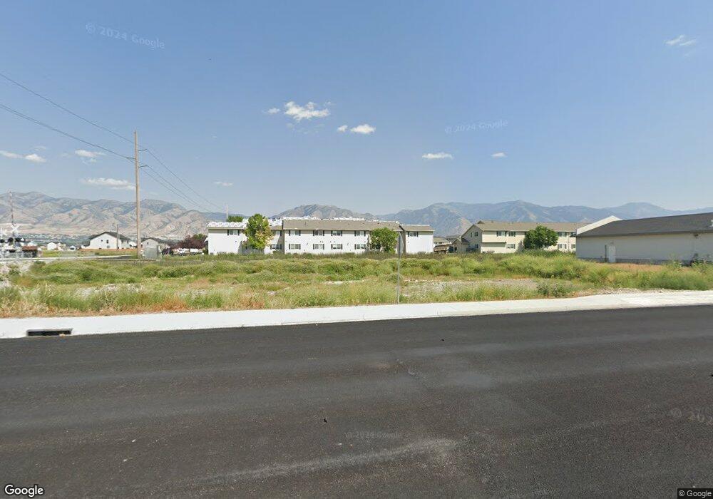
1790 N 600 W Unit 7 Logan, UT 84321
Bridger NeighborhoodEstimated Value: $255,108
Studio
--
Bath
--
Sq Ft
0.53
Acres
About This Home
This home is located at 1790 N 600 W Unit 7, Logan, UT 84321 and is currently estimated at $255,108. 1790 N 600 W Unit 7 is a home located in Cache County with nearby schools including Bridger School, Mount Logan Middle School, and Logan High School.
Ownership History
Date
Name
Owned For
Owner Type
Purchase Details
Closed on
Dec 22, 2017
Sold by
Martin Skabelund Roofing Llc
Bought by
Logan City
Current Estimated Value
Purchase Details
Closed on
Sep 1, 2016
Sold by
Tech Plaza Llc
Bought by
Martin Skabelund Roofing Llc
Purchase Details
Closed on
Jul 27, 2014
Sold by
Bolts Llc
Bought by
Tech Plaza Llc
Purchase Details
Closed on
Nov 18, 2013
Sold by
Trexler Jason M
Bought by
Top Shed Llc
Purchase Details
Closed on
Apr 10, 2006
Sold by
Corporation Of The Presiding Bishop Of T
Bought by
Trexler Jason M
Create a Home Valuation Report for This Property
The Home Valuation Report is an in-depth analysis detailing your home's value as well as a comparison with similar homes in the area
Home Values in the Area
Average Home Value in this Area
Purchase History
| Date | Buyer | Sale Price | Title Company |
|---|---|---|---|
| Logan City | -- | -- | |
| Martin Skabelund Roofing Llc | -- | Attorney | |
| Tech Plaza Llc | -- | None Available | |
| Top Shed Llc | -- | Hickman Land Title Company | |
| Trexler Jason M | -- | Hickman Land Title Company | |
| Trexler Jason M | -- | Hickman Land Title Company |
Source: Public Records
Tax History
| Year | Tax Paid | Tax Assessment Tax Assessment Total Assessment is a certain percentage of the fair market value that is determined by local assessors to be the total taxable value of land and additions on the property. | Land | Improvement |
|---|---|---|---|---|
| 2025 | -- | $0 | $0 | $0 |
| 2023 | $0 | $0 | $0 | $0 |
| 2022 | $0 | $0 | $0 | $0 |
| 2021 | $645 | $0 | $0 | $0 |
| 2020 | $645 | $0 | $0 | $0 |
| 2019 | $645 | $0 | $0 | $0 |
| 2018 | $0 | $121,206 | $121,206 | $0 |
| 2017 | $645 | $46,175 | $0 | $0 |
| 2016 | $669 | $46,175 | $0 | $0 |
| 2015 | $669 | $46,175 | $0 | $0 |
| 2014 | $908 | $69,260 | $0 | $0 |
| 2013 | $807 | $69,260 | $0 | $0 |
Source: Public Records
Map
Nearby Homes
- 1926 Lavender Loop Unit 6
- 2 Somerset Place
- 519 W 1570 N Unit 103
- 1492 N 565 W Unit 103
- 54 Kensington Place
- 49 Kensington Place
- 1521 N 420 W Unit 104
- 1515 N 450 W Unit 103
- 60 Hampton Place
- 1555 N 280 W Unit 102
- Park Avenue 1600 Plan at Park Avenue 1600
- 490 W 1950 N Unit 27
- 2200 N 220 W
- 465 W 1140 N
- 1030 N 250 W
- 518 W 930 N
- 239 E 1530 N
- 905 N 540 W
- 272 E 1725 N Unit 3
- 2386 N 150 E
- 1790 N 600 W
- 1772 N 600 W
- 1750 N 600 W
- 1748 N 600 W
- 1745 N 600 W
- 1734 N 600 W
- 1732 N 600 W
- 1722 N 600 W
- 550 W 1800 N
- 1850 N 600 W Unit 4,5
- 1850 N 600 W
- 533 W 1830 N Unit 46
- 1694 N 600 W
- 653 W 1725 N
- 1682 N 600 W
- 661 W 1725 N
- 661 W 1725 N Unit 661
- 661 W 1725 N Unit 11
- 1755 N 500 W Unit 104-22
- 1755 N 500 W Unit 102-22
Your Personal Tour Guide
Ask me questions while you tour the home.