1790 Sansdan Ct Painesville, OH 44077
Estimated Value: $262,000 - $345,000
3
Beds
3
Baths
1,156
Sq Ft
$261/Sq Ft
Est. Value
About This Home
This home is located at 1790 Sansdan Ct, Painesville, OH 44077 and is currently estimated at $301,615, approximately $260 per square foot. 1790 Sansdan Ct is a home located in Lake County with nearby schools including Henry F. Lamuth Middle School, Riverside Junior/Senior High School, and Summit Academy Community School - Painesville.
Ownership History
Date
Name
Owned For
Owner Type
Purchase Details
Closed on
Nov 28, 2001
Sold by
Fisher Donald E and Champa Theresa M
Bought by
Fisher Donald E and Fisher Theresa M
Current Estimated Value
Home Financials for this Owner
Home Financials are based on the most recent Mortgage that was taken out on this home.
Original Mortgage
$160,000
Interest Rate
6.11%
Create a Home Valuation Report for This Property
The Home Valuation Report is an in-depth analysis detailing your home's value as well as a comparison with similar homes in the area
Home Values in the Area
Average Home Value in this Area
Purchase History
| Date | Buyer | Sale Price | Title Company |
|---|---|---|---|
| Fisher Donald E | -- | Cresi |
Source: Public Records
Mortgage History
| Date | Status | Borrower | Loan Amount |
|---|---|---|---|
| Closed | Fisher Donald E | $160,000 |
Source: Public Records
Tax History Compared to Growth
Tax History
| Year | Tax Paid | Tax Assessment Tax Assessment Total Assessment is a certain percentage of the fair market value that is determined by local assessors to be the total taxable value of land and additions on the property. | Land | Improvement |
|---|---|---|---|---|
| 2024 | -- | $103,530 | $26,590 | $76,940 |
| 2023 | $8,697 | $79,810 | $21,230 | $58,580 |
| 2022 | $4,743 | $79,810 | $21,230 | $58,580 |
| 2021 | $4,760 | $79,810 | $21,230 | $58,580 |
| 2020 | $4,844 | $71,750 | $18,460 | $53,290 |
| 2019 | $4,880 | $71,750 | $18,460 | $53,290 |
| 2018 | $4,895 | $69,980 | $13,690 | $56,290 |
| 2017 | $4,917 | $69,980 | $13,690 | $56,290 |
| 2016 | $4,337 | $69,980 | $13,690 | $56,290 |
| 2015 | $4,006 | $69,980 | $13,690 | $56,290 |
| 2014 | $4,072 | $69,980 | $13,690 | $56,290 |
| 2013 | $3,980 | $69,980 | $13,690 | $56,290 |
Source: Public Records
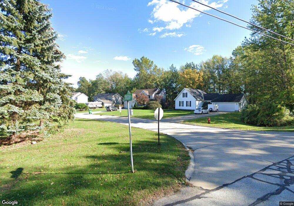
Map
Nearby Homes
- 751 Bacon Rd
- 1978 Marsh Ln Unit 1978
- 720 N Creek Dr
- 1865 Marsh Ln Unit 1865
- 634 N Creek Dr
- 1806 Muirfield Ln
- 1791 Muirfield Ln
- 1719 Duffton Ln
- 1679 Duffton Ln
- 1787 Muirfield Ln
- 547 Greenside Dr
- 499 Sand Trap Cir
- 1809 Muirfield Ln
- 124 Kenilworth Ave
- 0 N Ridge Rd Unit 5110949
- 389 Sand Trap Cir
- 269 Hale Rd
- 399 Sandtrap Cir
- 960 Robinhood Ave
- 108 Birch Dr
- 1802 Sansdan Ct
- 1780 Sansdan Ct
- 1806 Sansdan Ct
- 1814 Sansdan Ct
- 1795 Sansdan Ct
- 1781 Sansdan Ct
- 1799 Sansdan Ct
- 2020 Marsh Ln Unit 2020
- 2032 Marsh Ln Unit 2032
- 1824 Sansdan Ct
- 2012 Marsh Ln Unit 2012
- 767 Bacon Rd
- 759 Bacon Rd
- 773 Bacon Rd
- 2016 Marsh Ln Unit 2016
- 2040 Marsh Ln Unit 2040
- 2014 Marsh Ln Unit 2014
- 2034 Marsh Ln Unit 2034
- 781 Bacon Rd
- 2036 Marsh Ln Unit 2036