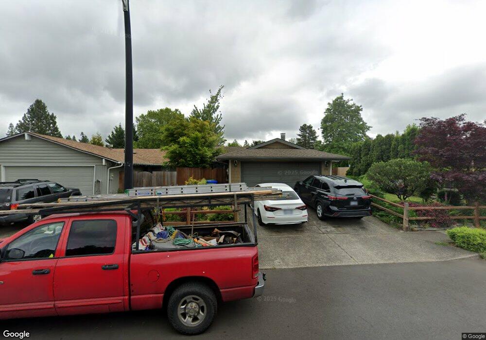
1790 SW Tegart Ave Gresham, OR 97080
Southwest Gresham NeighborhoodEstimated Value: $351,021 - $449,000
3
Beds
2
Baths
1,088
Sq Ft
$367/Sq Ft
Est. Value
About This Home
This home is located at 1790 SW Tegart Ave, Gresham, OR 97080 and is currently estimated at $399,505, approximately $367 per square foot. 1790 SW Tegart Ave is a home located in Multnomah County with nearby schools including Hollydale Elementary School, Dexter McCarty Middle School, and Gresham High School.
Ownership History
Date
Name
Owned For
Owner Type
Purchase Details
Closed on
Sep 29, 2008
Sold by
Cho Eun S
Bought by
Griffis Dennis and Griffis Jennifer
Current Estimated Value
Purchase Details
Closed on
Sep 28, 2006
Sold by
Kluehe Sandra K
Bought by
Ingoglia Aaron L and Ingoglia Mariela R
Home Financials for this Owner
Home Financials are based on the most recent Mortgage that was taken out on this home.
Original Mortgage
$165,749
Interest Rate
6.53%
Mortgage Type
FHA
Create a Home Valuation Report for This Property
The Home Valuation Report is an in-depth analysis detailing your home's value as well as a comparison with similar homes in the area
Home Values in the Area
Average Home Value in this Area
Purchase History
| Date | Buyer | Sale Price | Title Company |
|---|---|---|---|
| Griffis Dennis | $199,000 | Fidelity National Title Co | |
| Ingoglia Aaron L | $168,400 | First American Title Insuran |
Source: Public Records
Mortgage History
| Date | Status | Borrower | Loan Amount |
|---|---|---|---|
| Previous Owner | Ingoglia Aaron L | $165,749 |
Source: Public Records
Tax History
| Year | Tax Paid | Tax Assessment Tax Assessment Total Assessment is a certain percentage of the fair market value that is determined by local assessors to be the total taxable value of land and additions on the property. | Land | Improvement |
|---|---|---|---|---|
| 2025 | $3,427 | $168,410 | -- | -- |
| 2024 | $3,281 | $163,510 | -- | -- |
| 2023 | $2,989 | $158,750 | $0 | $0 |
| 2022 | $2,905 | $154,130 | $0 | $0 |
| 2021 | $2,832 | $149,650 | $0 | $0 |
| 2020 | $2,665 | $145,300 | $0 | $0 |
| 2019 | $2,595 | $141,070 | $0 | $0 |
| 2018 | $2,475 | $136,970 | $0 | $0 |
| 2017 | $2,374 | $132,990 | $0 | $0 |
| 2016 | $2,094 | $129,120 | $0 | $0 |
Source: Public Records
Map
Nearby Homes
- 3198 SW 16th Cir
- 3079 SW 22nd St
- 1963 SW Myers Place
- 2092 SW Thomas Place
- 2398 SW Tegart Ave
- 3605 SW 25th St
- 0 W Powell Loop
- 3857 SW Brittany Dr
- 4010 SW 13th Ct
- 2263 SW Phyllis Place
- 2607 SW Pleasant View Dr
- 3519 SW 28th Terrace
- 2401 SW Eleven Mile Dr
- 2652 SW Phyllis Dr
- 0 SW Battaglia Ave
- 3756 SW 7th Ct
- 4123 SW 26th Ct
- 2715 SW 31st St
- 4540 SW 11th St Unit E4540
- 1960 SW 13th Ct
- 1760 SW Tegart Ave
- 1810 SW Tegart Ave
- 1605 SW Brixton Ct
- 1840 SW Tegart Ave
- 1635 SW Brixton Ct
- 3172 SW 16th Cir
- 3158 SW 16th Cir
- 3225 SW 18th Ct
- 1595 SW Brixton Ct
- 3132 SW 16th Cir
- 1860 SW Tegart Ave
- 1745 SW Tegart Ave
- 1665 SW Brixton Ct
- 3224 SW 18th Ct
- 3088 SW 16th Cir
- 3155 SW Binford Lake Pkwy
- 1600 SW Brixton Ct
- 1685 SW Brixton Ct
- 1695 SW Tegart Ave
- 3251 SW 18th Ct Unit 1
Your Personal Tour Guide
Ask me questions while you tour the home.