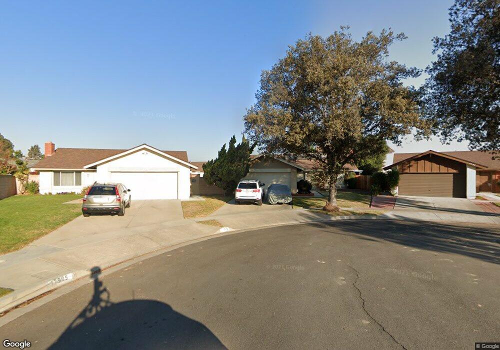
17901 Laurelbrook Place Cerritos, CA 90703
Estimated Value: $1,052,028 - $1,260,000
3
Beds
2
Baths
1,200
Sq Ft
$950/Sq Ft
Est. Value
About This Home
This home is located at 17901 Laurelbrook Place, Cerritos, CA 90703 and is currently estimated at $1,140,257, approximately $950 per square foot. 17901 Laurelbrook Place is a home located in Los Angeles County with nearby schools including Cerritos Elementary School, Carmenita Middle School, and Cerritos High School.
Ownership History
Date
Name
Owned For
Owner Type
Purchase Details
Closed on
Jul 24, 2024
Sold by
Jack Camille Nicole Agnes
Bought by
Jack Revocable Living Trust
Current Estimated Value
Purchase Details
Closed on
May 14, 2024
Sold by
Declaration Of Trust Of Eileen V Jack and Jack Camille Nicole
Bought by
Jack Camille Nicole Agnes
Purchase Details
Closed on
Aug 10, 2010
Sold by
Jack Eileen V
Bought by
Declaration Of Trust Of Eileen V Jack
Purchase Details
Closed on
Dec 28, 1999
Sold by
Jack Franklin C and Jack Eileen V
Bought by
Jack Eileen V
Create a Home Valuation Report for This Property
The Home Valuation Report is an in-depth analysis detailing your home's value as well as a comparison with similar homes in the area
Home Values in the Area
Average Home Value in this Area
Purchase History
| Date | Buyer | Sale Price | Title Company |
|---|---|---|---|
| Jack Revocable Living Trust | -- | None Listed On Document | |
| Jack Camille Nicole Agnes | -- | None Listed On Document | |
| Declaration Of Trust Of Eileen V Jack | -- | None Available | |
| Jack Eileen V | -- | -- |
Source: Public Records
Tax History
| Year | Tax Paid | Tax Assessment Tax Assessment Total Assessment is a certain percentage of the fair market value that is determined by local assessors to be the total taxable value of land and additions on the property. | Land | Improvement |
|---|---|---|---|---|
| 2025 | $1,487 | $923,100 | $693,600 | $229,500 |
| 2024 | $1,487 | $102,209 | $31,786 | $70,423 |
| 2023 | $1,445 | $100,206 | $31,163 | $69,043 |
| 2022 | $1,420 | $98,242 | $30,552 | $67,690 |
| 2021 | $1,383 | $96,316 | $29,953 | $66,363 |
| 2019 | $1,350 | $93,461 | $29,065 | $64,396 |
| 2018 | $1,213 | $91,630 | $28,496 | $63,134 |
| 2016 | $1,149 | $88,075 | $27,391 | $60,684 |
| 2015 | $1,135 | $86,753 | $26,980 | $59,773 |
| 2014 | $1,122 | $85,055 | $26,452 | $58,603 |
Source: Public Records
Map
Nearby Homes
- 17400 Laurelbrook Ct
- 17405 Jasmine Way
- 13626 Aclare Ln
- 17422 Vierra Ave
- 18727 Holmes Ave
- 13048 Acoro St
- 13010 Artesia Blvd
- 7371 Spruce Cir
- 17112 Maurice Ave
- 18622 Kamstra Ave
- 5826 Bolivia Dr
- 13451 1/4 Village Dr
- 13447 Village Dr Unit 1/2
- 5836 Trinidad Way
- 7425 Bradley Dr
- 7662 Cory Cir
- 13026 San Salvador Place
- 16602 Yvette Way
- 7722 Laurelwood Ln
- 5562 Thelma Ave
- 17905 Laurelbrook Place
- 17902 Laurelbrook Place
- 13644 Felson St
- 13650 Felson St
- 17904 Laurelbrook Place
- 13638 Felson St
- 17909 Laurelbrook Place
- 13654 Felson St
- 17830 Newbrook Ave
- 17910 Laurelbrook Place
- 17834 Newbrook Ave
- 17824 Newbrook Ave
- 13660 Felson St
- 17915 Laurelbrook Place
- 17818 Newbrook Ave
- 17840 Newbrook Ave
- 17907 Gerritt Place
- 17914 Laurelbrook Place
- 17909 Gerritt Place
- 13666 Felson St
Your Personal Tour Guide
Ask me questions while you tour the home.