17907 Covered Bridge Rd Knights Ferry, CA 95361
Estimated Value: $531,000 - $994,000
4
Beds
2
Baths
2,116
Sq Ft
$335/Sq Ft
Est. Value
About This Home
This home is located at 17907 Covered Bridge Rd, Knights Ferry, CA 95361 and is currently estimated at $707,811, approximately $334 per square foot. 17907 Covered Bridge Rd is a home located in Stanislaus County with nearby schools including Knights Ferry Elementary School, Oakdale High School, and East Stanislaus High School.
Ownership History
Date
Name
Owned For
Owner Type
Purchase Details
Closed on
Oct 28, 2016
Sold by
Noon Brendt
Bought by
Noon Brendt and Noon Diane
Current Estimated Value
Purchase Details
Closed on
Jun 13, 2002
Sold by
Noon Brendt
Bought by
Noon Brendt and Noon Diane L
Purchase Details
Closed on
Oct 19, 2001
Sold by
Noon Diane L
Bought by
Noon Brendt
Purchase Details
Closed on
Aug 8, 1994
Sold by
Central California Conference Asso Of Th
Bought by
Noon Henry S and Noon Jeanne B
Create a Home Valuation Report for This Property
The Home Valuation Report is an in-depth analysis detailing your home's value as well as a comparison with similar homes in the area
Home Values in the Area
Average Home Value in this Area
Purchase History
| Date | Buyer | Sale Price | Title Company |
|---|---|---|---|
| Noon Brendt | -- | None Available | |
| Noon Brendt | -- | -- | |
| Noon Brendt | -- | Chicago Title Co | |
| Noon Brendt | -- | Chicago Title Co | |
| Noon Henry S | $215,000 | First American Title Co |
Source: Public Records
Tax History Compared to Growth
Tax History
| Year | Tax Paid | Tax Assessment Tax Assessment Total Assessment is a certain percentage of the fair market value that is determined by local assessors to be the total taxable value of land and additions on the property. | Land | Improvement |
|---|---|---|---|---|
| 2025 | $4,176 | $329,291 | $222,553 | $106,738 |
| 2024 | $3,910 | $322,836 | $218,190 | $104,646 |
| 2023 | $3,837 | $316,507 | $213,912 | $102,595 |
| 2022 | $3,778 | $310,302 | $209,718 | $100,584 |
| 2021 | $3,723 | $304,218 | $205,606 | $98,612 |
| 2020 | $3,686 | $301,099 | $203,498 | $97,601 |
| 2019 | $3,637 | $295,196 | $199,508 | $95,688 |
| 2018 | $3,592 | $289,409 | $195,597 | $93,812 |
| 2017 | $3,537 | $283,735 | $191,762 | $91,973 |
| 2016 | $3,482 | $278,172 | $188,002 | $90,170 |
| 2015 | $3,444 | $273,995 | $185,179 | $88,816 |
| 2014 | $3,416 | $268,629 | $181,552 | $87,077 |
Source: Public Records
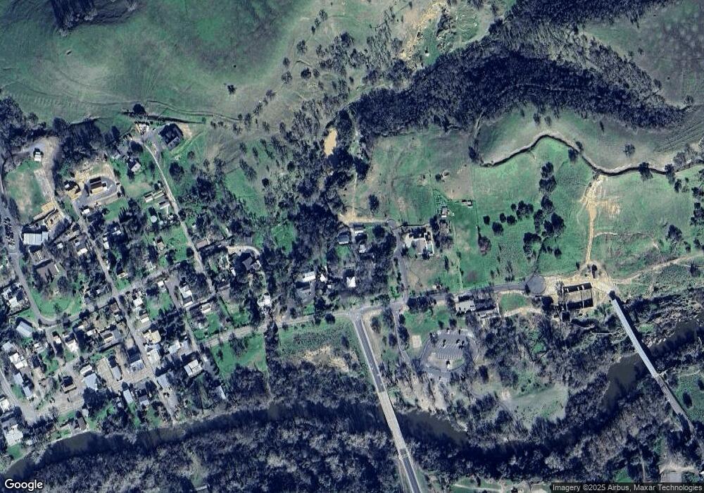
Map
Nearby Homes
- 12600 Lynde St
- 17830 Ellen St
- 16960 Schell Rd
- 16777 Schell Rd
- 0 Morrison Rd Unit 224099785
- 0 Morrison Rd Unit 225089132
- 0 Morrison Rd Unit 225024989
- 16300 Orange Blossom Rd Unit 31
- 262 Acres On California 108
- 13160 Tulloch Rd
- 11012 Olive Rd
- 13614 Lancaster Rd
- 10213 Gray Rd
- 12201 Orange Blossom Rd
- 12024 Rodden Rd
- 14466 Tulloch Rd
- 111 Quail Covey Ct
- 467 Knolls Dr
- 467 Knolls Dr Unit 161
- 2 Mosswood Ct
- 17849 Main St
- 17957 Covered Bridge Rd
- 17967 Covered Bridge Rd
- 17806 Ellen St
- 0 Lynde St Unit 16032425
- 17712 Sonora Rd
- 17712 Main St
- 17713 Sonora Rd
- 17713 Main St
- 17701 Sonora Rd
- 17700 Vantine St
- 17701 Vantine St
- 17631 Main St
- 17624 Main St
- 17625 Ellen St
- 12806 Dean St
- 17649 Vantine St
- 17601 Ellen St
- 12812 Dean St
- 17566 Main St