Estimated Value: $144,000 - $205,000
3
Beds
2
Baths
1,820
Sq Ft
$90/Sq Ft
Est. Value
About This Home
This home is located at 1791 Andrew Fredrick Rd, Union, MS 39365 and is currently estimated at $163,384, approximately $89 per square foot. 1791 Andrew Fredrick Rd is a home with nearby schools including Union Elementary School, Union Middle School, and Union High School.
Ownership History
Date
Name
Owned For
Owner Type
Purchase Details
Closed on
Mar 25, 2022
Sold by
Cater Cory G
Bought by
Cater Bridget F
Current Estimated Value
Home Financials for this Owner
Home Financials are based on the most recent Mortgage that was taken out on this home.
Original Mortgage
$25,884
Outstanding Balance
$7,816
Interest Rate
3.63%
Mortgage Type
New Conventional
Estimated Equity
$155,568
Purchase Details
Closed on
Mar 28, 2011
Sold by
Fredrick Steve and Fredrick Kathy
Bought by
Cater Cory G and Cater Bridget F
Home Financials for this Owner
Home Financials are based on the most recent Mortgage that was taken out on this home.
Original Mortgage
$45,703
Interest Rate
4.76%
Purchase Details
Closed on
Aug 27, 2010
Sold by
Fredrick Steve and Fredrick Kathy
Bought by
Cater Cory G and Cater Bridgette F
Create a Home Valuation Report for This Property
The Home Valuation Report is an in-depth analysis detailing your home's value as well as a comparison with similar homes in the area
Home Values in the Area
Average Home Value in this Area
Purchase History
| Date | Buyer | Sale Price | Title Company |
|---|---|---|---|
| Cater Bridget F | -- | None Listed On Document | |
| Cater Cory G | -- | -- | |
| Cater Cory G | -- | -- |
Source: Public Records
Mortgage History
| Date | Status | Borrower | Loan Amount |
|---|---|---|---|
| Open | Cater Bridget F | $25,884 | |
| Previous Owner | Cater Cory G | $45,703 |
Source: Public Records
Tax History Compared to Growth
Tax History
| Year | Tax Paid | Tax Assessment Tax Assessment Total Assessment is a certain percentage of the fair market value that is determined by local assessors to be the total taxable value of land and additions on the property. | Land | Improvement |
|---|---|---|---|---|
| 2025 | $644 | $7,921 | $0 | $0 |
| 2024 | $644 | $7,921 | $0 | $0 |
| 2023 | $644 | $7,921 | $0 | $0 |
| 2022 | $645 | $7,921 | $0 | $0 |
| 2021 | $530 | $7,408 | $0 | $0 |
| 2020 | $586 | $7,408 | $0 | $0 |
| 2019 | $568 | $7,408 | $0 | $0 |
| 2018 | $554 | $7,069 | $0 | $0 |
| 2017 | $529 | $6,702 | $0 | $0 |
| 2016 | $517 | $6,702 | $0 | $0 |
| 2015 | -- | $6,702 | $0 | $0 |
| 2014 | -- | $6,428 | $0 | $0 |
Source: Public Records
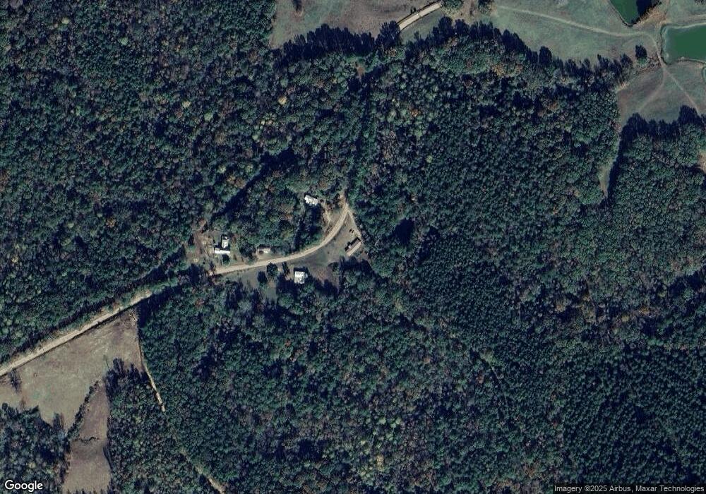
Map
Nearby Homes
- 3787 Erin Lucern Rd
- 0 Roger Reid Rd
- 3212 Erin Lucern Rd
- 83 Bill Willis Rd
- 0 Hugh Hudnall Rd
- 0 Mississippi 492
- 66 Pete Freeman Rd
- 10511 Road 224
- Allgood Rd
- - Morehead Rd
- 12061 Mississippi 21
- 2971 Conehatta-Prospect Rd
- Morehead Rd
- 124 Main St
- 0 Stratton Rd
- 0 Lakeview Dr
- 26 Lakeview Dr
- 309 Conehatta Rd
- 408 North St
- 0 North St
- 1676 Andrew Fredrick Rd
- 1676 Andrew Fredrick Rd
- 5301 Highway 492
- 00 Mississippi 492
- 1408 Andrew Fredrick Rd
- 5562 Highway 492
- 1433 Roger Reid Rd
- 5774 Highway 492
- 5156 Highway 492
- 5156 Highway 492
- 5156 Highway 492
- 5772 Highway 492
- 5852 Highway 492
- 5846 Highway 492
- 5846 Highway 492
- 5852 Ms-492
- 5913 Highway 492
- 5957 Highway 492
- 6029 Highway 492
- 3534 Erin Lucern Rd