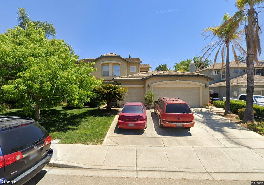
1791 Sanger Peak Way Antioch, CA 94531
Lone Tree Valley NeighborhoodEstimated Value: $778,000 - $826,000
6
Beds
4
Baths
3,409
Sq Ft
$236/Sq Ft
Est. Value
About This Home
This home is located at 1791 Sanger Peak Way, Antioch, CA 94531 and is currently estimated at $806,129, approximately $236 per square foot. 1791 Sanger Peak Way is a home located in Contra Costa County with nearby schools including Lone Tree Elementary School, Dallas Ranch Middle School, and Deer Valley High School.
Ownership History
Date
Name
Owned For
Owner Type
Purchase Details
Closed on
Mar 22, 2002
Sold by
Meritage Homes Of Northern Cal Inc
Bought by
Olivas Oswaldo and Olivas Elisa
Current Estimated Value
Home Financials for this Owner
Home Financials are based on the most recent Mortgage that was taken out on this home.
Original Mortgage
$290,000
Outstanding Balance
$119,264
Interest Rate
6.84%
Mortgage Type
Purchase Money Mortgage
Estimated Equity
$686,865
Purchase Details
Closed on
Mar 27, 2000
Sold by
Anthony Kathryn N
Bought by
Anthony Arley E
Create a Home Valuation Report for This Property
The Home Valuation Report is an in-depth analysis detailing your home's value as well as a comparison with similar homes in the area
Home Values in the Area
Average Home Value in this Area
Purchase History
| Date | Buyer | Sale Price | Title Company |
|---|---|---|---|
| Olivas Oswaldo | $416,000 | First American Title Guarant | |
| Anthony Arley E | -- | -- |
Source: Public Records
Mortgage History
| Date | Status | Borrower | Loan Amount |
|---|---|---|---|
| Open | Olivas Oswaldo | $290,000 |
Source: Public Records
Tax History Compared to Growth
Tax History
| Year | Tax Paid | Tax Assessment Tax Assessment Total Assessment is a certain percentage of the fair market value that is determined by local assessors to be the total taxable value of land and additions on the property. | Land | Improvement |
|---|---|---|---|---|
| 2025 | $7,187 | $624,433 | $155,103 | $469,330 |
| 2024 | $6,935 | $612,190 | $152,062 | $460,128 |
| 2023 | $6,935 | $600,187 | $149,081 | $451,106 |
| 2022 | $6,827 | $588,419 | $146,158 | $442,261 |
| 2021 | $6,629 | $576,883 | $143,293 | $433,590 |
| 2019 | $6,495 | $559,775 | $139,044 | $420,731 |
| 2018 | $6,254 | $548,800 | $136,318 | $412,482 |
| 2017 | $6,133 | $538,041 | $133,646 | $404,395 |
| 2016 | $5,712 | $499,500 | $124,073 | $375,427 |
| 2015 | $5,944 | $486,500 | $120,844 | $365,656 |
| 2014 | $6,589 | $468,500 | $116,373 | $352,127 |
Source: Public Records
Map
Nearby Homes
- 4604 Coal Hill Place
- 2401 Silveria Way
- 2498 Taylor Way
- 1964 Finger Peak Way
- 2510 Vallecito Way
- 2344 Forty Niner Ct
- 2721 Vallejo Ct
- 1914 Table Mountain Way
- 5488 Southwood Ct
- 1879 Mount Conness Way
- Residence 2 Plan at Deer Valley
- Residence 6 Plan at Deer Valley
- Residence 4 Plan at Deer Valley
- Residence 1 Plan at Deer Valley
- Residence 3 Plan at Deer Valley
- Residence 5 Plan at Deer Valley
- 1333 Mokelumne Dr
- 1928 Badger Pass Way
- 5224 Kestrel St
- 5416 Golden Eagle St
- 1795 Sanger Peak Way
- 2648 Carson Way
- 2652 Carson Way
- 1799 Sanger Peak Way
- 1783 Sanger Peak Way
- 1794 Sanger Peak Way
- 1798 Sanger Peak Way
- 1790 Sanger Peak Way
- 2640 Carson Way
- 1803 Sanger Peak Way
- 1779 Sanger Peak Way
- 2656 Carson Way
- 1898 Colosseum Way
- 2650 Zepher Ct
- 1800 Sanger Peak Ct
- 2636 Carson Way
- 2432 Taylor Way
- 1902 Colosseum Way
- 2654 Zepher Ct
- 1775 Sanger Peak Way