1791 Sauratown Mountain Rd Westfield, NC 27053
Estimated Value: $498,000 - $687,866
3
Beds
3
Baths
2,660
Sq Ft
$232/Sq Ft
Est. Value
About This Home
This home is located at 1791 Sauratown Mountain Rd, Westfield, NC 27053 and is currently estimated at $616,622, approximately $231 per square foot. 1791 Sauratown Mountain Rd is a home located in Stokes County with nearby schools including Mount Olive Elementary School, Chestnut Grove Middle, and West Stokes High.
Ownership History
Date
Name
Owned For
Owner Type
Purchase Details
Closed on
Sep 28, 2018
Sold by
Presnell David Christopher and Presnell David Christopher
Bought by
Corbett Jonathan Curtis and Corbett Ashley Creed
Current Estimated Value
Home Financials for this Owner
Home Financials are based on the most recent Mortgage that was taken out on this home.
Original Mortgage
$404,100
Outstanding Balance
$352,399
Interest Rate
4.5%
Mortgage Type
New Conventional
Estimated Equity
$264,223
Purchase Details
Closed on
Jul 31, 2014
Sold by
King Floyd Thomas and King Lola Jane
Bought by
Presnell David Christoper
Home Financials for this Owner
Home Financials are based on the most recent Mortgage that was taken out on this home.
Original Mortgage
$288,000
Interest Rate
3.37%
Mortgage Type
Adjustable Rate Mortgage/ARM
Create a Home Valuation Report for This Property
The Home Valuation Report is an in-depth analysis detailing your home's value as well as a comparison with similar homes in the area
Home Values in the Area
Average Home Value in this Area
Purchase History
| Date | Buyer | Sale Price | Title Company |
|---|---|---|---|
| Corbett Jonathan Curtis | $459,000 | None Available | |
| Presnell David Christoper | $320,000 | None Available |
Source: Public Records
Mortgage History
| Date | Status | Borrower | Loan Amount |
|---|---|---|---|
| Open | Corbett Jonathan Curtis | $404,100 | |
| Previous Owner | Presnell David Christoper | $288,000 |
Source: Public Records
Tax History
| Year | Tax Paid | Tax Assessment Tax Assessment Total Assessment is a certain percentage of the fair market value that is determined by local assessors to be the total taxable value of land and additions on the property. | Land | Improvement |
|---|---|---|---|---|
| 2025 | $4,700 | $657,400 | $64,700 | $592,700 |
| 2024 | $4,700 | $458,800 | $49,000 | $409,800 |
| 2023 | $3,716 | $458,800 | $49,000 | $409,800 |
| 2022 | $3,395 | $458,800 | $49,000 | $409,800 |
| 2021 | $3,395 | $458,800 | $49,000 | $409,800 |
| 2020 | $2,513 | $339,600 | $41,100 | $298,500 |
| 2019 | $2,513 | $339,600 | $41,100 | $298,500 |
| 2018 | $2,383 | $322,000 | $41,100 | $280,900 |
| 2017 | $2,367 | $322,000 | $41,100 | $280,900 |
| 2016 | $2,512 | $341,800 | $41,200 | $300,600 |
| 2015 | $2,495 | $341,800 | $41,200 | $300,600 |
| 2014 | $2,482 | $341,800 | $41,200 | $300,600 |
Source: Public Records
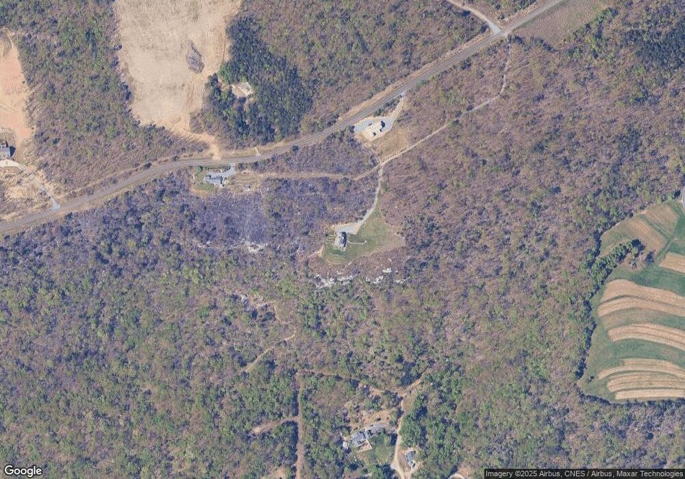
Map
Nearby Homes
- 3125 YMcA Camp Rd
- 1751 Flat Rock Rd
- 1458 Merridon Dr
- 1566 Thore Rd
- 0 Marshall Ridge Rd
- 1721 Camp Dogwood Rd
- 1065 Reid Rd
- 0 Reid Rd
- 00 Covington Rd
- 1040 Breezeway Dr
- 0 Nance Rd
- 1208 Kentland Dr
- 1129 Kentland Dr
- 2186 Covington Rd
- 1034 Kentland Dr
- 1165 Flinty Knoll Rd
- 00 Volunteer Rd Unit 1
- 00 Volunteer Rd Unit 2
- 00 Volunteer Rd Unit 3
- 5149 N Carolina 66
- 1454 Doyle Cromer Rd
- 1879 Sauratown Mountain Rd
- 1504 Doyle Cromer Rd
- 2015 Sauratown Mountain Rd
- 1325 Doyle Cromer Rd
- 2011 Sauratown Mountain Rd
- 1960 Sauratown Mountain Rd
- 2129 Sauratown Mountain Rd
- 1461 Doyle Cromer Rd
- 1080 Fowler Farm Rd Unit Tract3
- 1080 Fowler Farm Rd Unit Tract 2
- 1080 Fowler Farm Rd Unit Tract 1
- 1080 Fowler Farm Rd
- 1967 Sauratown Mountain Rd
- 1770 Sauratown Mountain Rd
- 1287 Doyle Cromer Rd
- 1505 Sauratown Mountain Rd
- 1255 Horizon Ln
- 2005 Sauratown Mountain Rd
- 1235 Horizon Ln
Your Personal Tour Guide
Ask me questions while you tour the home.