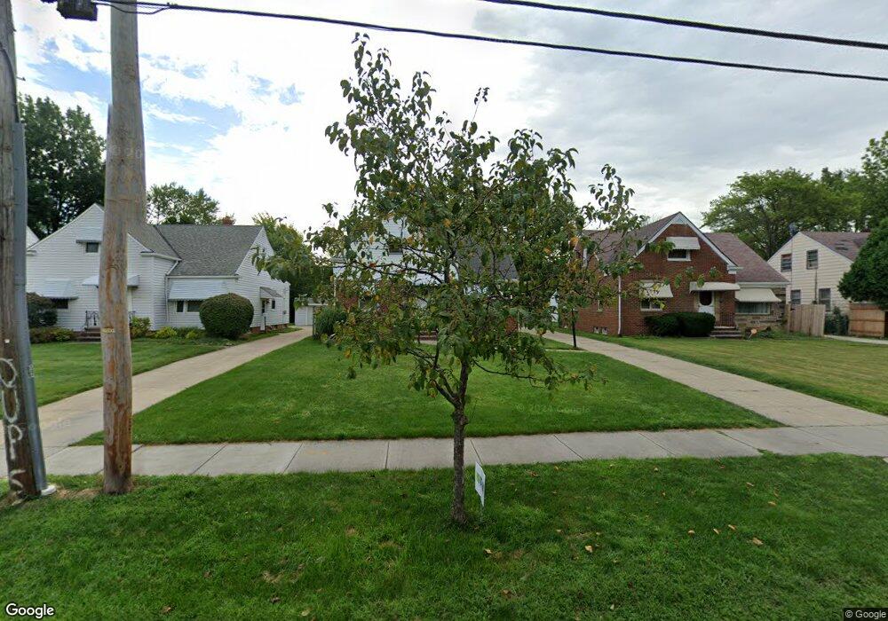
1791 Wrenford Rd Cleveland, OH 44121
Estimated Value: $186,000 - $218,000
3
Beds
2
Baths
1,620
Sq Ft
$125/Sq Ft
Est. Value
About This Home
This home is located at 1791 Wrenford Rd, Cleveland, OH 44121 and is currently estimated at $202,030, approximately $124 per square foot. 1791 Wrenford Rd is a home located in Cuyahoga County with nearby schools including Rowland Elementary School, Greenview Upper Elementary School, and Memorial Junior High School.
Ownership History
Date
Name
Owned For
Owner Type
Purchase Details
Closed on
May 19, 2020
Sold by
Johnson Edith B
Bought by
Johnson Joseph W
Current Estimated Value
Purchase Details
Closed on
Apr 6, 2011
Sold by
Rice Gertrude
Bought by
Johnson Edith B
Purchase Details
Closed on
May 16, 1985
Sold by
Rice Esther and Rice Gertrude
Bought by
Rice Esther and Gertrude Rice
Purchase Details
Closed on
Jan 1, 1975
Bought by
Rice Esther and Rice Gertrude
Create a Home Valuation Report for This Property
The Home Valuation Report is an in-depth analysis detailing your home's value as well as a comparison with similar homes in the area
Home Values in the Area
Average Home Value in this Area
Purchase History
| Date | Buyer | Sale Price | Title Company |
|---|---|---|---|
| Johnson Joseph W | -- | None Available | |
| Johnson Edith B | $70,000 | Common Law Title | |
| Rice Esther | -- | -- | |
| Rice Esther | -- | -- |
Source: Public Records
Tax History Compared to Growth
Tax History
| Year | Tax Paid | Tax Assessment Tax Assessment Total Assessment is a certain percentage of the fair market value that is determined by local assessors to be the total taxable value of land and additions on the property. | Land | Improvement |
|---|---|---|---|---|
| 2024 | $4,396 | $57,435 | $12,215 | $45,220 |
| 2023 | $3,872 | $40,680 | $8,860 | $31,820 |
| 2022 | $3,852 | $40,670 | $8,860 | $31,820 |
| 2021 | $3,822 | $40,670 | $8,860 | $31,820 |
| 2020 | $2,701 | $33,080 | $7,210 | $25,870 |
| 2019 | $2,474 | $94,500 | $20,600 | $73,900 |
| 2018 | $1,927 | $33,080 | $7,210 | $25,870 |
| 2017 | $2,291 | $29,330 | $5,880 | $23,450 |
| 2016 | $2,277 | $29,330 | $5,880 | $23,450 |
| 2015 | $4,916 | $29,330 | $5,880 | $23,450 |
| 2014 | $4,916 | $30,880 | $6,200 | $24,680 |
Source: Public Records
Map
Nearby Homes
- 4233 Bayard Rd
- 4210 Stonehaven Rd
- 4201 Lambert Rd
- 1895 Temblethurst Rd
- 4121 Hinsdale Rd
- 4154 Bexley Blvd
- 4124 Bayard Rd
- 1940 Temblethurst Rd
- 4237 Verona Rd
- 4194 Stilmore Rd
- 1744 S Green Rd
- 1606 Laclede Rd
- 1605 Laclede Rd
- 4206 Verona Rd
- 4482 Shirley Dr
- 4158 Wyncote Rd
- 4033 Stonehaven Rd
- 4040 Bayard Rd
- 4015 Bayard Rd
- 1779 Warrensville Center Rd
- 1787 Wrenford Rd
- 1795 Wrenford Rd
- 1783 Wrenford Rd
- 1799 Wrenford Rd
- 1775 Wrenford Rd
- 1805 Wrenford Rd
- 4249 Hinsdale Rd
- 1800 Beaconwood Ave
- 4250 Harwood Rd
- 1796 Beaconwood Ave
- 1804 Beaconwood Ave
- 1811 Wrenford Rd
- 1771 Wrenford Rd
- 1792 Beaconwood Ave
- 1808 Beaconwood Ave
- 4248 Harwood Rd
- 1784 Beaconwood Ave
- 1812 Beaconwood Ave
- 1767 Wrenford Rd
- 1815 Wrenford Rd