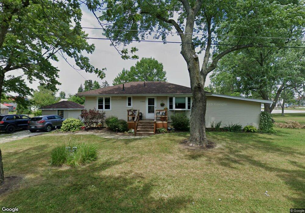
17910 3rd St Beloit, OH 44609
Estimated Value: $141,839 - $200,000
3
Beds
1
Bath
1,248
Sq Ft
$131/Sq Ft
Est. Value
About This Home
This home is located at 17910 3rd St, Beloit, OH 44609 and is currently estimated at $162,960, approximately $130 per square foot. 17910 3rd St is a home located in Mahoning County with nearby schools including West Branch Middle School and West Branch High School.
Ownership History
Date
Name
Owned For
Owner Type
Purchase Details
Closed on
Mar 22, 2023
Sold by
Miller Pamela A and Slider Pamela A
Bought by
Truit Keri Anne
Current Estimated Value
Purchase Details
Closed on
Mar 3, 1999
Sold by
Sanor Christina M
Bought by
Slider Pamela A
Purchase Details
Closed on
May 21, 1997
Bought by
Pamela A Slider
Purchase Details
Closed on
Jul 2, 1996
Sold by
Mcgrew Susan
Bought by
Sanor Elden L and Sanor Mark E
Purchase Details
Closed on
Apr 3, 1987
Bought by
Mcgrew Susan
Create a Home Valuation Report for This Property
The Home Valuation Report is an in-depth analysis detailing your home's value as well as a comparison with similar homes in the area
Purchase History
| Date | Buyer | Sale Price | Title Company |
|---|---|---|---|
| Truit Keri Anne | -- | -- | |
| Slider Pamela A | $60,000 | -- | |
| Pamela A Slider | -- | -- | |
| Sanor Elden L | $49,500 | -- | |
| Mcgrew Susan | $33,500 | -- |
Source: Public Records
Mortgage History
| Date | Status | Borrower | Loan Amount |
|---|---|---|---|
| Closed | Slider Pamela A | $0 |
Source: Public Records
Tax History
| Year | Tax Paid | Tax Assessment Tax Assessment Total Assessment is a certain percentage of the fair market value that is determined by local assessors to be the total taxable value of land and additions on the property. | Land | Improvement |
|---|---|---|---|---|
| 2025 | $1,503 | $37,490 | $4,010 | $33,480 |
| 2024 | $1,503 | $37,490 | $4,010 | $33,480 |
| 2023 | $1,477 | $37,490 | $4,010 | $33,480 |
| 2022 | $1,231 | $26,310 | $4,010 | $22,300 |
| 2021 | $1,346 | $26,310 | $4,010 | $22,300 |
| 2020 | $1,350 | $26,310 | $4,010 | $22,300 |
| 2019 | $1,206 | $21,430 | $4,010 | $17,420 |
| 2018 | $1,201 | $21,430 | $4,010 | $17,420 |
| 2017 | $1,242 | $21,430 | $4,010 | $17,420 |
| 2016 | $1,286 | $23,050 | $3,710 | $19,340 |
| 2015 | $1,258 | $23,050 | $3,710 | $19,340 |
| 2014 | $1,263 | $23,050 | $3,710 | $19,340 |
| 2013 | $1,248 | $23,050 | $3,710 | $19,340 |
Source: Public Records
Map
Nearby Homes
- 18061 Derr Ave
- 18280 5th St
- 17325 5th St
- 18262 W Pine Lake Rd
- 11 Redwood St
- 57 Redwood St
- 726 N 12th St
- 345 E Indiana Ave
- 945 N 12th St
- 430 Hillsdale St
- 423 S 14th St
- 157 E Ohio Ave
- 1005 N 13th St
- 166 E Michigan Ave
- 125 E Indiana Ave
- 208 S 15th St
- 324 S 15th St
- 175 W Ohio Ave
- 0 W Nevada Ave Unit 5181868
- 406 W Ohio Ave
- 13569 Williams St
- 17914 2nd St
- 17933 3rd St
- 17904 2nd St
- 13537 Williams St
- 13638 Williams St
- 13609 Williams St
- 17884 2nd St
- 17950 3rd St
- 17846 3rd St
- 17947 3rd St
- 13515 Williams St
- 13538 Williams St
- 13635 Williams St
- 17850 1st St
- 13636 Williams St
- 13579 N Main St
- 17973 2nd St
- 13599 N Main St
- 17975 2nd St
Your Personal Tour Guide
Ask me questions while you tour the home.