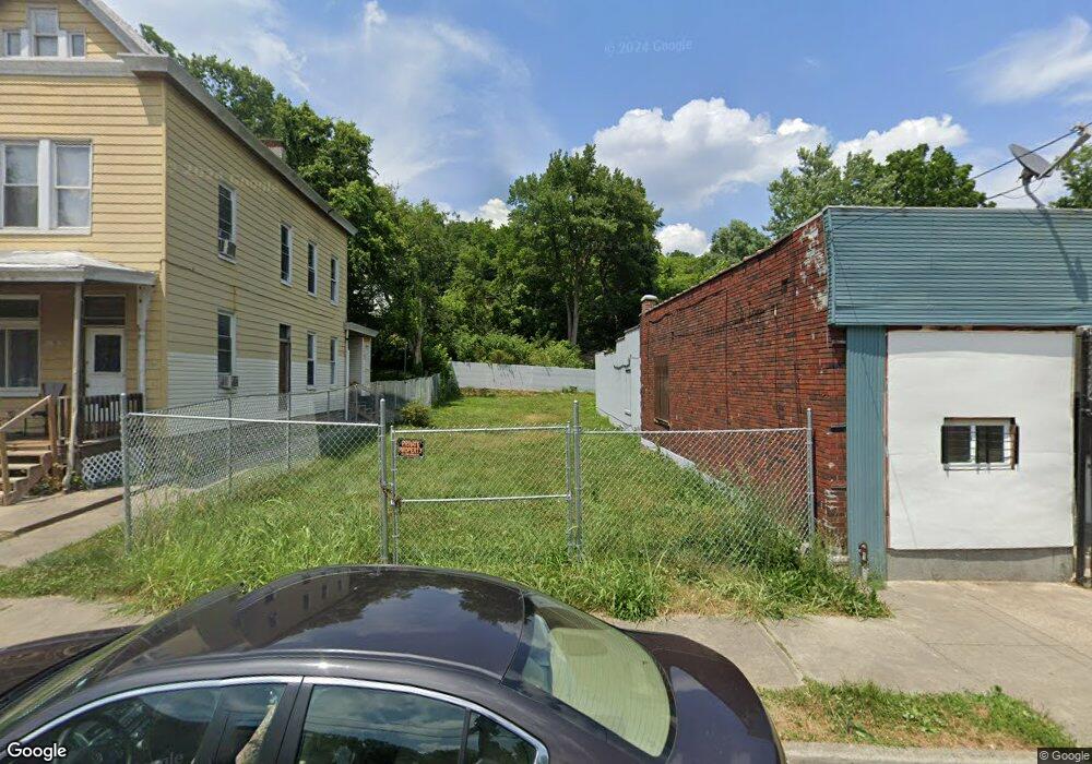
1792 Carll St Cincinnati, OH 45225
North Fairmount NeighborhoodEstimated Value: $10,000 - $45,000
3
Beds
1
Bath
1,584
Sq Ft
$17/Sq Ft
Est. Value
About This Home
This home is located at 1792 Carll St, Cincinnati, OH 45225 and is currently estimated at $27,500, approximately $17 per square foot. 1792 Carll St is a home located in Hamilton County with nearby schools including Ethel M. Taylor Academy, Robert A. Taft Information Technology High School, and Western Hills High School.
Ownership History
Date
Name
Owned For
Owner Type
Purchase Details
Closed on
Jul 31, 2019
Sold by
County Of Hamilton
Bought by
Williams Anthony
Current Estimated Value
Purchase Details
Closed on
Apr 10, 2008
Sold by
Denmark Valerie and Denmark Gregory
Bought by
Denmark Johnnie
Purchase Details
Closed on
Oct 26, 2004
Sold by
Estate Of Arnell I Denmark
Bought by
Denmark Gregory and Denmark Johnnie
Purchase Details
Closed on
Aug 20, 2004
Sold by
Estate Of Johnnie Denmark Sr
Bought by
Denmark Arnell L and Denmark Gregory
Create a Home Valuation Report for This Property
The Home Valuation Report is an in-depth analysis detailing your home's value as well as a comparison with similar homes in the area
Home Values in the Area
Average Home Value in this Area
Purchase History
We collect this data history from publicly available records. To have your information removed, we recommend requesting removal directly through your county’s website.
| Date | Buyer | Sale Price | Title Company |
|---|---|---|---|
| Williams Anthony | $225 | None Available | |
| Denmark Johnnie | -- | Attorney | |
| Denmark Gregory | -- | None Available | |
| Denmark Arnell L | -- | -- |
Source: Public Records
Tax History
| Year | Tax Paid | Tax Assessment Tax Assessment Total Assessment is a certain percentage of the fair market value that is determined by local assessors to be the total taxable value of land and additions on the property. | Land | Improvement |
|---|---|---|---|---|
| 2025 | $96 | $1,358 | $1,358 | -- |
| 2024 | $96 | $1,358 | $1,358 | -- |
| 2023 | $96 | $1,358 | $1,358 | $0 |
| 2022 | $106 | $1,369 | $1,369 | $0 |
| 2021 | $101 | $1,369 | $1,369 | $0 |
| 2020 | $102 | $1,369 | $1,369 | $0 |
| 2019 | $416 | $1,243 | $1,243 | $0 |
| 2018 | $3,018 | $1,243 | $1,243 | $0 |
| 2017 | $2,804 | $1,243 | $1,243 | $0 |
| 2016 | $3,036 | $1,551 | $1,551 | $0 |
| 2015 | $3,230 | $1,551 | $1,551 | $0 |
| 2014 | $4,522 | $1,954 | $1,551 | $403 |
| 2013 | $139 | $1,936 | $1,537 | $399 |
Source: Public Records
Map
Nearby Homes
- 1797 Denham St
- 1793 Baltimore Ave
- 2594 Seegar Ave
- 1765 Denham St
- 1743 Baltimore Ave
- 1883 Baltimore Ave
- 2568 Trevor Place
- 1674 Baltimore Ave
- 1642 Sutter Ave
- 1959 Baltimore Ave
- 1767 Sutter Ave
- 2911 Moosewood Ct
- 1854 Knox St
- 1607 Pulte St
- 3065 Moosewood Ave
- 2457 Everglade Place
- 2465 Saturn St
- 3091 Beekman St
- 2564 Linden St
- 2572 Liddell St
- 1809 Carll St
- 1807 Carll St
- 1805 Carll St
- 1813 Carll St
- 1801 Carll St
- 1812 Baltimore Ave
- 1808 Baltimore Ave
- 1819 Carll St
- 1799 Carll St
- 1804 Baltimore Ave
- 1821 Carll St
- 1802 Baltimore Ave
- 1804 Carll St
- 1808 Carll St
- 1802 Carll St
- 1812 Carll St
- 1800 Carll St
- 1800 Baltimore Ave
- 1798 Carll St
- 1796 Carll St
Your Personal Tour Guide
Ask me questions while you tour the home.