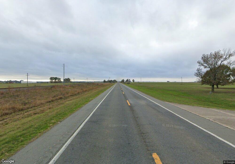
1792 Highway 79 B Stuttgart, AR 72160
Estimated Value: $105,835 - $132,000
--
Bed
2
Baths
1,476
Sq Ft
$81/Sq Ft
Est. Value
About This Home
This home is located at 1792 Highway 79 B, Stuttgart, AR 72160 and is currently estimated at $118,918, approximately $80 per square foot. 1792 Highway 79 B is a home located in Arkansas County with nearby schools including Park Avenue Elementary School, Meekins Middle School, and Stuttgart Junior High School.
Ownership History
Date
Name
Owned For
Owner Type
Purchase Details
Closed on
May 20, 2021
Sold by
Roth Christopher Kevin
Bought by
Roth Christopher Kevin and Roth Hope Rita
Current Estimated Value
Purchase Details
Closed on
Aug 31, 2005
Sold by
Barger Nancy
Bought by
Roth Christopher Kevin and Barger Winston Neil
Purchase Details
Closed on
Oct 20, 2004
Bought by
Roth Christopher
Purchase Details
Closed on
May 16, 2002
Bought by
Roth Christopher
Create a Home Valuation Report for This Property
The Home Valuation Report is an in-depth analysis detailing your home's value as well as a comparison with similar homes in the area
Home Values in the Area
Average Home Value in this Area
Purchase History
| Date | Buyer | Sale Price | Title Company |
|---|---|---|---|
| Roth Christopher Kevin | -- | None Available | |
| Roth Christopher Kevin | -- | None Available | |
| Roth Christopher | $6,000 | -- | |
| Roth Christopher | -- | -- |
Source: Public Records
Tax History Compared to Growth
Tax History
| Year | Tax Paid | Tax Assessment Tax Assessment Total Assessment is a certain percentage of the fair market value that is determined by local assessors to be the total taxable value of land and additions on the property. | Land | Improvement |
|---|---|---|---|---|
| 2025 | $297 | $17,473 | $2,352 | $15,121 |
| 2024 | $297 | $17,473 | $2,352 | $15,121 |
| 2023 | $372 | $17,473 | $2,352 | $15,121 |
| 2022 | $312 | $14,870 | $2,500 | $12,370 |
| 2021 | $312 | $14,870 | $2,500 | $12,370 |
| 2020 | $312 | $14,870 | $2,500 | $12,370 |
| 2019 | $312 | $14,870 | $2,500 | $12,370 |
| 2018 | $337 | $14,870 | $2,500 | $12,370 |
| 2017 | $0 | $0 | $0 | $0 |
| 2016 | $379 | $15,860 | $2,020 | $13,840 |
| 2015 | -- | $15,190 | $2,020 | $13,170 |
| 2014 | -- | $15,090 | $2,020 | $13,070 |
| 2013 | -- | $15,090 | $2,020 | $13,070 |
Source: Public Records
Map
Nearby Homes
- 000 Hwy 79 Hwy
- 2106 Beumer St
- 1307 W 22nd St
- 1820 Beumer St
- 2109 Strait Place
- 2020 S Prairie St
- 2006 S Prairie St
- 1605 Coker Hampton Dr
- 1618 S Prairie St
- 1410 Granvue Dr
- 0 Buerkle St Unit 23033391
- 1905 S Spring St
- 1912 S Lowe St
- 602 Circle Ln
- 1408 S Porter St
- 1101 S Lowe St
- 1308 S Main St
- 1611 S Grand Ave
- 1412 S Grand Ave
- 1112 S College St
- 1772 Highway 79 B
- 1795 Highway 79 B
- 158 Lone Tree Rd
- 124 Lone Tree Rd
- 1612 Earl Ct
- 1605 W 22nd St
- 2018 Earl Ct
- 2116 Haleigh Dr
- 2021 Earl Ct
- 1414 W 22nd St
- Lot 89 Jimmie St
- Lot 2 Haleigh Dr
- Lot 5 Haleigh Dr
- 1412 W 22nd St
- 2202 Shady Grove Rd
- 1601 W 22nd St
- 2204 Shady Grove Rd
- 2302 Shady Grove Rd
- 2117 Haleigh Dr
- 1408 W 22nd St
