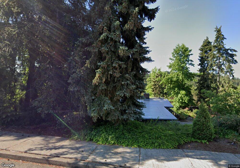
1792 W 34th Place Eugene, OR 97405
Crest Drive NeighborhoodEstimated Value: $497,820 - $557,000
3
Beds
2
Baths
1,252
Sq Ft
$421/Sq Ft
Est. Value
About This Home
This home is located at 1792 W 34th Place, Eugene, OR 97405 and is currently estimated at $527,455, approximately $421 per square foot. 1792 W 34th Place is a home located in Lane County with nearby schools including Adams Elementary School, Arts And Technology Academy At Jefferson, and Churchill High School.
Ownership History
Date
Name
Owned For
Owner Type
Purchase Details
Closed on
Mar 1, 1999
Sold by
Mejia Michael J
Bought by
Shepard Lynn
Current Estimated Value
Create a Home Valuation Report for This Property
The Home Valuation Report is an in-depth analysis detailing your home's value as well as a comparison with similar homes in the area
Home Values in the Area
Average Home Value in this Area
Purchase History
| Date | Buyer | Sale Price | Title Company |
|---|---|---|---|
| Shepard Lynn | -- | -- |
Source: Public Records
Tax History Compared to Growth
Tax History
| Year | Tax Paid | Tax Assessment Tax Assessment Total Assessment is a certain percentage of the fair market value that is determined by local assessors to be the total taxable value of land and additions on the property. | Land | Improvement |
|---|---|---|---|---|
| 2025 | $5,379 | $276,087 | -- | -- |
| 2024 | $5,312 | $268,046 | -- | -- |
| 2023 | $5,312 | $260,239 | $0 | $0 |
| 2022 | $4,977 | $252,660 | $0 | $0 |
| 2021 | $4,674 | $245,301 | $0 | $0 |
| 2020 | $4,691 | $238,157 | $0 | $0 |
| 2019 | $4,506 | $231,221 | $0 | $0 |
| 2018 | $4,198 | $217,949 | $0 | $0 |
| 2017 | $3,952 | $217,949 | $0 | $0 |
| 2016 | $3,835 | $211,601 | $0 | $0 |
| 2015 | $3,723 | $205,438 | $0 | $0 |
| 2014 | $3,630 | $199,454 | $0 | $0 |
Source: Public Records
Map
Nearby Homes
- 2203 Lorane Hwy
- 2030 W 34th Ave
- 0 Mclean Blvd Unit 24671448
- 0 Mclean Blvd Unit 697374759
- 3046 Whitbeck Blvd
- 3010 Neslo Ln
- 3016 Ashley Loop
- 2100 Shields Ave
- 2850 Garfield St
- 1895 W 28th Ave
- 1955 W 28th Ave
- 3160 Whitten Dr
- 0 W 40th Ave Unit 3 545854116
- 0 W 40th Ave Unit 3 639571582
- 0 W 40th Ave Unit 2 332352930
- 0 W 40th Ave Unit 2 100132422
- 2765 Almaden St
- 00 Storey Blvd
- 0 Storey Blvd Unit 653467150
- 2720 Fillmore St
- 1785 Lorane Hwy
- 1772 W 34th Place
- 3445 Grant St
- 1781 W 34th Place
- 1775 Lorane Hwy
- 1771 W 34th Place
- 1762 W 34th Place
- 1915 Lorane Hwy
- 1765 Lorane Hwy
- 3450 Grant St
- 1761 W 34th Place
- 1780 W 34th Ave
- 1790 W 34th Ave
- 1752 W 34th Place
- 1770 W 34th Ave
- 3430 Grant St
- 1751 W 34th Place
- 1755 Lorane Hwy
- 1928 Lorane Hwy
- 0 W 34th Place