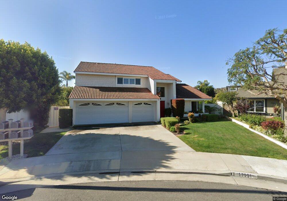
17931 Portside Cir Huntington Beach, CA 92649
Estimated Value: $1,582,000 - $1,927,000
4
Beds
3
Baths
2,092
Sq Ft
$836/Sq Ft
Est. Value
About This Home
This home is located at 17931 Portside Cir, Huntington Beach, CA 92649 and is currently estimated at $1,747,904, approximately $835 per square foot. 17931 Portside Cir is a home located in Orange County with nearby schools including Hope View Elementary School, Marine View Middle, and Huntington Beach High School.
Ownership History
Date
Name
Owned For
Owner Type
Purchase Details
Closed on
Apr 4, 2003
Sold by
Harman Dianne D
Bought by
Harman Thomas G and Harman Dianne D
Current Estimated Value
Purchase Details
Closed on
Jun 17, 1998
Sold by
Harman Thomas G and Harman Dianne D
Bought by
Harman Dianne D
Purchase Details
Closed on
Oct 13, 1997
Sold by
Harman Dianne D
Bought by
Harman Thomas G and Harman Dianne D
Purchase Details
Closed on
Dec 18, 1996
Sold by
Harman Thomas G and Harman Dianne D
Bought by
Harman Dianne D
Create a Home Valuation Report for This Property
The Home Valuation Report is an in-depth analysis detailing your home's value as well as a comparison with similar homes in the area
Home Values in the Area
Average Home Value in this Area
Purchase History
| Date | Buyer | Sale Price | Title Company |
|---|---|---|---|
| Harman Thomas G | -- | -- | |
| Harman Dianne D | -- | -- | |
| Harman Thomas G | -- | Stewart Title Company | |
| Harman Dianne D | -- | -- |
Source: Public Records
Tax History Compared to Growth
Tax History
| Year | Tax Paid | Tax Assessment Tax Assessment Total Assessment is a certain percentage of the fair market value that is determined by local assessors to be the total taxable value of land and additions on the property. | Land | Improvement |
|---|---|---|---|---|
| 2025 | $1,932 | $150,628 | $50,991 | $99,637 |
| 2024 | $1,932 | $147,675 | $49,991 | $97,684 |
| 2023 | $1,884 | $144,780 | $49,011 | $95,769 |
| 2022 | $1,850 | $141,942 | $48,050 | $93,892 |
| 2021 | $1,817 | $139,159 | $47,108 | $92,051 |
| 2020 | $1,796 | $137,733 | $46,625 | $91,108 |
| 2019 | $1,768 | $135,033 | $45,711 | $89,322 |
| 2018 | $1,730 | $132,386 | $44,815 | $87,571 |
| 2017 | $1,702 | $129,791 | $43,937 | $85,854 |
| 2016 | $1,638 | $127,247 | $43,076 | $84,171 |
| 2015 | $1,612 | $125,336 | $42,429 | $82,907 |
| 2014 | $1,579 | $122,881 | $41,598 | $81,283 |
Source: Public Records
Map
Nearby Homes
- 5852 Bellfield Ln
- 5732 Grimsby Dr
- 5812 Raphael Dr
- 17982 Whitford Ln
- 18202 Foss Ln
- 6142 Kiser Dr
- 6161 Norbrook Dr
- 18321 Fieldbury Ln
- 17372 Forbes Ln
- 17341 Juniper Ln
- 17172 Berlin Ln
- 6051 Summerdale Dr
- 17352 Eucalyptus Ln
- 17071 Pinehurst Ln
- 17061 Pinehurst Ln
- 17042 Twain Ln
- 6416 Setting Sun Dr
- 6561 Horseshoe Ln
- 5241 Glenroy Dr
- 6852 Jardines Dr
- 17911 Portside Cir
- 5841 Woodboro Dr
- 17932 Portside Cir
- 5851 Woodboro Dr
- 5831 Woodboro Dr
- 17901 Portside Cir
- 17912 Portside Cir
- 5821 Woodboro Dr
- 5861 Woodboro Dr
- 17912 Oldglen Ln
- 17932 Oldglen Ln
- 17902 Oldglen Ln
- 17902 Portside Cir
- 5811 Woodboro Dr
- 5871 Woodboro Dr
- 17911 Shamley Cir
- 5791 Woodboro Dr
- 5862 Woodboro Dr
- 5852 Woodboro Dr
- 17931 Shamley Cir