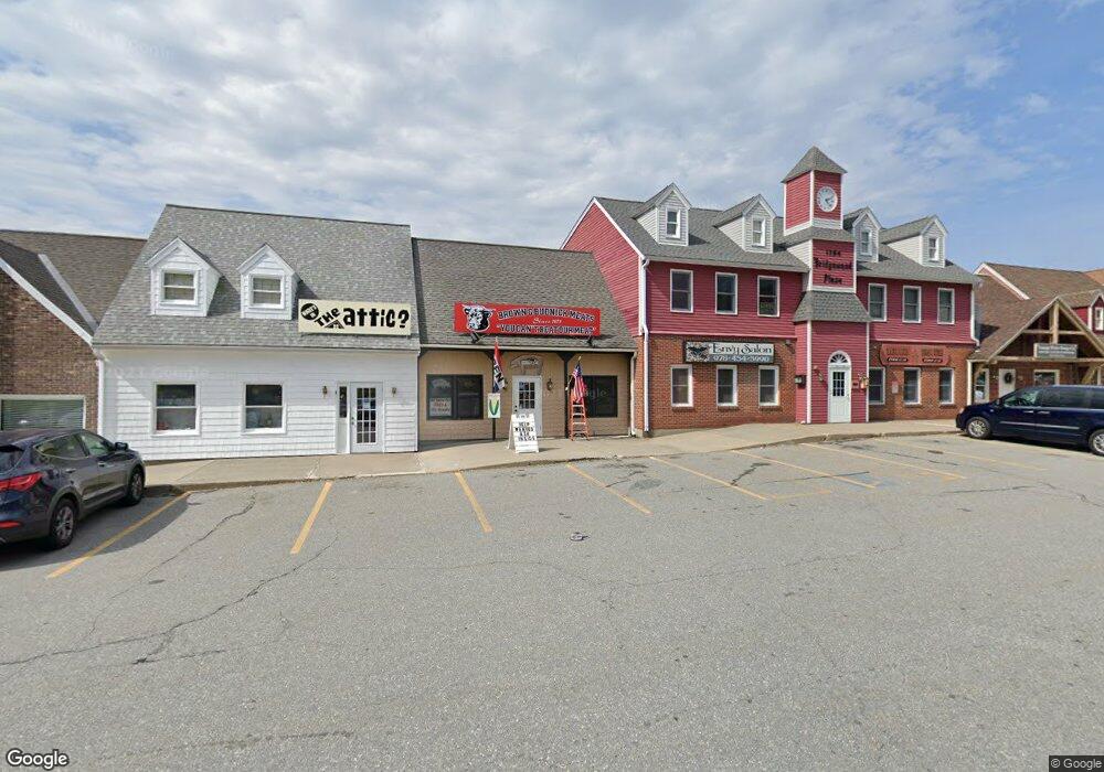
1794 Bridge St Unit 26A Dracut, MA 01826
Estimated Value: $210,052
--
Bed
--
Bath
1,296
Sq Ft
$162/Sq Ft
Est. Value
About This Home
This home is located at 1794 Bridge St Unit 26A, Dracut, MA 01826 and is currently estimated at $210,052, approximately $162 per square foot. 1794 Bridge St Unit 26A is a home located in Middlesex County with nearby schools including Greenmont Avenue School, Richardson Middle School, and Dracut Senior High School.
Ownership History
Date
Name
Owned For
Owner Type
Purchase Details
Closed on
Oct 22, 2019
Sold by
Pereira Antonio J
Bought by
Rose Daniel and Rose Kathleen J
Current Estimated Value
Purchase Details
Closed on
Jan 6, 2015
Sold by
Slp Rt
Bought by
Pereira Antonio J
Purchase Details
Closed on
Oct 28, 2011
Sold by
Davey Lisa M
Bought by
Slp Rt
Purchase Details
Closed on
Feb 9, 2011
Sold by
Davey John J and Davey Lisa M
Bought by
Davey Lisa M
Purchase Details
Closed on
Jun 29, 2007
Sold by
K & K Equipment Inc
Bought by
Davey John J and Davey Lisa Marie
Purchase Details
Closed on
Apr 15, 1997
Sold by
Southwest Federated In
Bought by
K & K Equipment Inc
Create a Home Valuation Report for This Property
The Home Valuation Report is an in-depth analysis detailing your home's value as well as a comparison with similar homes in the area
Home Values in the Area
Average Home Value in this Area
Purchase History
| Date | Buyer | Sale Price | Title Company |
|---|---|---|---|
| Rose Daniel | $135,000 | -- | |
| Pereira Antonio J | $135,000 | -- | |
| Slp Rt | -- | -- | |
| Davey Lisa M | -- | -- | |
| Davey John J | $131,000 | -- | |
| K & K Equipment Inc | $35,000 | -- |
Source: Public Records
Tax History Compared to Growth
Tax History
| Year | Tax Paid | Tax Assessment Tax Assessment Total Assessment is a certain percentage of the fair market value that is determined by local assessors to be the total taxable value of land and additions on the property. | Land | Improvement |
|---|---|---|---|---|
| 2025 | $1,920 | $189,700 | $0 | $189,700 |
| 2024 | $1,700 | $162,700 | $0 | $162,700 |
| 2023 | $1,614 | $139,400 | $0 | $139,400 |
| 2022 | $1,815 | $147,700 | $0 | $147,700 |
| 2021 | $1,922 | $147,700 | $0 | $147,700 |
| 2020 | $1,910 | $143,100 | $0 | $143,100 |
| 2019 | $1,925 | $140,000 | $0 | $140,000 |
| 2018 | $1,847 | $130,600 | $0 | $130,600 |
| 2017 | $1,872 | $130,600 | $0 | $130,600 |
| 2016 | $1,851 | $124,700 | $0 | $124,700 |
| 2015 | $1,603 | $107,400 | $0 | $107,400 |
| 2014 | $1,627 | $112,300 | $0 | $112,300 |
Source: Public Records
Map
Nearby Homes
- 26 Frank St
- 20 Esther Way Unit 11
- 19 Esther Way Unit Lot 10
- 167 Betty Ann Ln
- 321 Old Marsh Hill Rd
- 121 Old Marsh Hill Rd
- 1572 Bridge St
- 99 Lincoln Ln
- 67 Lincoln Ln
- 999 Hildreth St
- 190 Old Rd
- 174 Old Rd
- 11 Mountain View Dr
- 157 Old Rd
- 50 Stephen Ave
- 109 Meadow Creek Dr
- 81 Spring Park Ave
- 67 Foxhill Ln Unit 67
- 315 Broadway Rd Unit 7
- 241 Broadway Rd Unit 50
- 1794 Bridge St Unit 31
- 1794 Bridge St
- 1794 Bridge St Unit 32
- 1794 Bridge St Unit 8A
- 1794 Bridge St Unit 33A,34A
- 1794 Bridge St Unit 12
- 1794 Bridge St Unit 5B
- 1794 Bridge St Unit 29
- 1794 Bridge St Unit 26 A
- 1794 Bridge St Unit 17B
- 1794 Bridge St Unit 6
- 1794 Bridge St Unit 30B
- 1794 Bridge St Unit 8B
- 1794 Bridge St Unit 33B
- 1794 Bridge St Unit 33A
- 1794 Bridge St Unit 13B
- 1794 Bridge St Unit 5A
- 1794 Bridge St Unit 30A
- 1794 Bridge St Unit 27B
- 1794 Bridge St Unit 27A