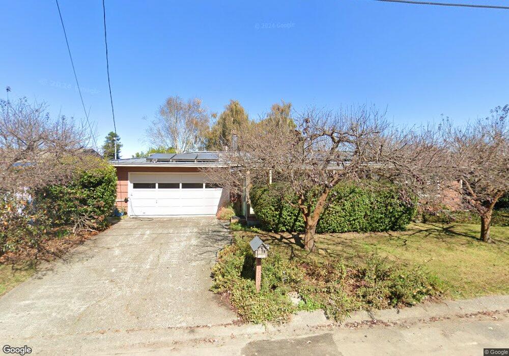
1794 Roberts Way Arcata, CA 95521
Westwood-Vasside NeighborhoodEstimated Value: $424,000 - $486,000
3
Beds
1
Bath
1,014
Sq Ft
$448/Sq Ft
Est. Value
About This Home
This home is located at 1794 Roberts Way, Arcata, CA 95521 and is currently estimated at $454,425, approximately $448 per square foot. 1794 Roberts Way is a home located in Humboldt County with nearby schools including Arcata Elementary School, Sunny Brae Middle School, and Arcata High School.
Ownership History
Date
Name
Owned For
Owner Type
Purchase Details
Closed on
Mar 7, 2025
Sold by
King Leah I and King Morgan P
Bought by
Leah And Morgan King 2025 Trust and King
Current Estimated Value
Purchase Details
Closed on
Sep 18, 2002
Sold by
Revocab Griffith George W and Revocab George W Griffith 1996
Bought by
King Morgan P and King Leah I
Home Financials for this Owner
Home Financials are based on the most recent Mortgage that was taken out on this home.
Original Mortgage
$150,000
Interest Rate
6.09%
Create a Home Valuation Report for This Property
The Home Valuation Report is an in-depth analysis detailing your home's value as well as a comparison with similar homes in the area
Home Values in the Area
Average Home Value in this Area
Purchase History
| Date | Buyer | Sale Price | Title Company |
|---|---|---|---|
| Leah And Morgan King 2025 Trust | -- | None Listed On Document | |
| King Morgan P | $187,500 | First American Title Ins Co |
Source: Public Records
Mortgage History
| Date | Status | Borrower | Loan Amount |
|---|---|---|---|
| Previous Owner | King Morgan P | $150,000 |
Source: Public Records
Tax History Compared to Growth
Tax History
| Year | Tax Paid | Tax Assessment Tax Assessment Total Assessment is a certain percentage of the fair market value that is determined by local assessors to be the total taxable value of land and additions on the property. | Land | Improvement |
|---|---|---|---|---|
| 2025 | $3,122 | $271,536 | $105,716 | $165,820 |
| 2024 | $3,122 | $266,213 | $103,644 | $162,569 |
| 2023 | $3,057 | $260,994 | $101,612 | $159,382 |
| 2022 | $3,110 | $255,877 | $99,620 | $156,257 |
| 2021 | $2,965 | $250,861 | $97,667 | $153,194 |
| 2020 | $2,896 | $248,290 | $96,666 | $151,624 |
| 2019 | $2,803 | $243,422 | $94,771 | $148,651 |
| 2018 | $2,739 | $238,650 | $92,913 | $145,737 |
| 2017 | $2,682 | $233,972 | $91,092 | $142,880 |
| 2016 | $2,592 | $229,385 | $89,306 | $140,079 |
| 2015 | $2,563 | $225,940 | $87,965 | $137,975 |
| 2014 | $2,542 | $221,515 | $86,242 | $135,273 |
Source: Public Records
Map
Nearby Homes
- 2155 Western Ave
- 1254 Mccallum Cir
- 3028 Alliance Rd
- 3659 Spear Ave
- 2700 Meadow Creek Way
- 2565 Todd Ct
- 429 Evergreen Ave
- 356 California Ave
- 2910 Greenbriar Ln
- 402 Tanglewood Rd
- 119 Sylva St
- 113 Sylva St
- 2203 Appaloosa Ln
- 1127 Moxon Ln
- 2078 Shetland Ln
- 1016 F St
- 632 9th St
- 120 & 120a 13th St
- 0 E 16th St Unit 269160
- 000 E 16th St
- 1804 Roberts Way
- 1784 Roberts Way
- 1793 Stromberg Ave
- 1783 Stromberg Ave
- 1803 Stromberg Ave
- 1814 Roberts Way
- 1774 Roberts Way
- 1795 Roberts Way
- 1805 Roberts Way
- 1785 Roberts Way
- 1773 Stromberg Ave
- 1813 Stromberg Ave
- 1815 Roberts Way
- 1775 Roberts Way
- 1824 Roberts Way
- 1764 Roberts Way
- 1763 Stromberg Ave
- 1823 Stromberg Ave
- 1790 Stewart Ave
- 1790 Stromberg Ave