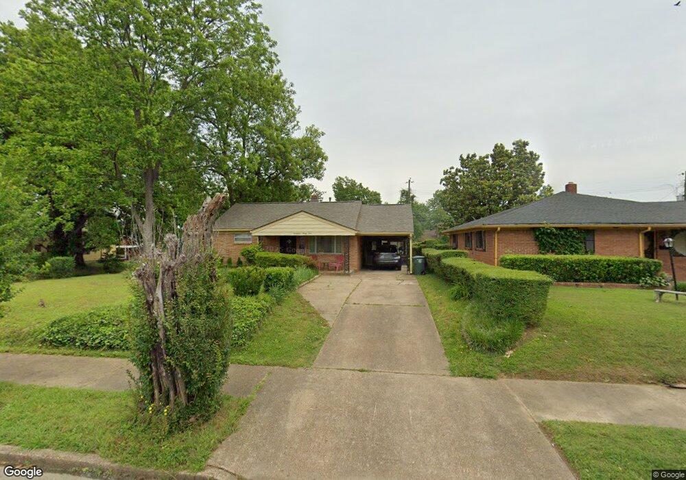
1794 State St Memphis, TN 38114
Southeast Memphis NeighborhoodEstimated Value: $77,000 - $126,000
3
Beds
2
Baths
1,452
Sq Ft
$68/Sq Ft
Est. Value
About This Home
This home is located at 1794 State St, Memphis, TN 38114 and is currently estimated at $98,711, approximately $67 per square foot. 1794 State St is a home located in Shelby County with nearby schools including Hamilton High School, Memphis College Preparatory, and Veritas College Preparatory.
Ownership History
Date
Name
Owned For
Owner Type
Purchase Details
Closed on
Sep 10, 2007
Sold by
Nichols John M and Nichols Iola Brown
Bought by
Harris Theiora
Current Estimated Value
Home Financials for this Owner
Home Financials are based on the most recent Mortgage that was taken out on this home.
Original Mortgage
$71,505
Outstanding Balance
$45,226
Interest Rate
6.55%
Mortgage Type
VA
Estimated Equity
$53,485
Create a Home Valuation Report for This Property
The Home Valuation Report is an in-depth analysis detailing your home's value as well as a comparison with similar homes in the area
Home Values in the Area
Average Home Value in this Area
Purchase History
| Date | Buyer | Sale Price | Title Company |
|---|---|---|---|
| Harris Theiora | $70,000 | Realty Title |
Source: Public Records
Mortgage History
| Date | Status | Borrower | Loan Amount |
|---|---|---|---|
| Open | Harris Theiora | $71,505 |
Source: Public Records
Tax History Compared to Growth
Tax History
| Year | Tax Paid | Tax Assessment Tax Assessment Total Assessment is a certain percentage of the fair market value that is determined by local assessors to be the total taxable value of land and additions on the property. | Land | Improvement |
|---|---|---|---|---|
| 2025 | $268 | $13,300 | $1,500 | $11,800 |
| 2024 | $268 | $7,900 | $1,000 | $6,900 |
| 2023 | $481 | $7,900 | $1,000 | $6,900 |
| 2022 | $481 | $7,900 | $1,000 | $6,900 |
| 2021 | $487 | $7,900 | $1,000 | $6,900 |
| 2020 | $498 | $6,875 | $1,000 | $5,875 |
| 2019 | $498 | $6,875 | $1,000 | $5,875 |
| 2018 | $498 | $6,875 | $1,000 | $5,875 |
| 2017 | $283 | $6,875 | $1,000 | $5,875 |
| 2016 | $358 | $8,200 | $0 | $0 |
| 2014 | $358 | $8,200 | $0 | $0 |
Source: Public Records
Map
Nearby Homes
- 1817 S Barksdale St
- 1936 Frisco Ave
- 1971 Boyle Ave
- 1949 Lapaloma St
- 1832 Rozelle St
- 1824 Rozelle St
- 996 Rozelle St
- 2151 Goff Ave
- 2149 Wabash Ave
- 1698 Rayner St
- 1790 Westmore St
- 1493 Oaklawn St
- 1481 Oaklawn St
- 1911 Quinn Ave
- 1998 Cloverdale Dr
- 1816 Kerr Ave
- 0 Dublin Ave Unit LOTS 20 & 21 LAST TW
- 1721 W Silver St
- 1560 Cane Rd
- 0 Airways Blvd Unit 10199303
- 1798 State St
- 1802 State St
- 1793 S Barksdale St
- 1801 S Barksdale St
- 1880 Hearst Ave
- 1884 Hearst Ave
- 1808 State St
- 1807 S Barksdale St
- 1876 Hearst Ave
- 1890 Hearst Ave
- 1793 State St
- 1797 State St
- 1870 Hearst Ave
- 1894 Hearst Ave
- 1801 State St
- 1811 S Barksdale St
- 1814 State St
- 1864 Hearst Ave
- 1900 Hearst Ave
- 1807 State St