1795 Euclid Ave Waverly, IA 50677
Estimated Value: $198,000 - $216,252
--
Bed
--
Bath
--
Sq Ft
2.34
Acres
About This Home
This home is located at 1795 Euclid Ave, Waverly, IA 50677 and is currently estimated at $207,126. 1795 Euclid Ave is a home with nearby schools including Waverly-Shell Rock Senior High School.
Ownership History
Date
Name
Owned For
Owner Type
Purchase Details
Closed on
Oct 24, 2022
Sold by
Windy Acres Llc
Bought by
Sprague Richard F and Sprague Sharon L
Current Estimated Value
Purchase Details
Closed on
Dec 16, 2005
Sold by
Clewell Sandra J and Clewell Dale E
Bought by
Windy Acres L L C
Home Financials for this Owner
Home Financials are based on the most recent Mortgage that was taken out on this home.
Original Mortgage
$75,000
Interest Rate
6.36%
Mortgage Type
Purchase Money Mortgage
Create a Home Valuation Report for This Property
The Home Valuation Report is an in-depth analysis detailing your home's value as well as a comparison with similar homes in the area
Home Values in the Area
Average Home Value in this Area
Purchase History
| Date | Buyer | Sale Price | Title Company |
|---|---|---|---|
| Sprague Richard F | -- | None Listed On Document | |
| Windy Acres L L C | $25,000 | None Available |
Source: Public Records
Mortgage History
| Date | Status | Borrower | Loan Amount |
|---|---|---|---|
| Previous Owner | Windy Acres L L C | $75,000 |
Source: Public Records
Tax History Compared to Growth
Tax History
| Year | Tax Paid | Tax Assessment Tax Assessment Total Assessment is a certain percentage of the fair market value that is determined by local assessors to be the total taxable value of land and additions on the property. | Land | Improvement |
|---|---|---|---|---|
| 2025 | $2,132 | $180,350 | $69,400 | $110,950 |
| 2024 | $2,132 | $180,350 | $69,400 | $110,950 |
| 2023 | $1,540 | $120,090 | $54,760 | $65,330 |
| 2022 | $1,510 | $121,430 | $51,640 | $69,790 |
| 2021 | $1,630 | $121,430 | $51,640 | $69,790 |
| 2020 | $1,630 | $121,100 | $43,600 | $77,500 |
| 2019 | $1,622 | $121,100 | $0 | $0 |
| 2018 | $1,560 | $121,100 | $0 | $0 |
| 2017 | $1,898 | $134,040 | $0 | $0 |
| 2016 | $1,898 | $129,100 | $0 | $0 |
| 2015 | $1,898 | $120,660 | $0 | $0 |
| 2014 | $1,826 | $120,660 | $0 | $0 |
Source: Public Records
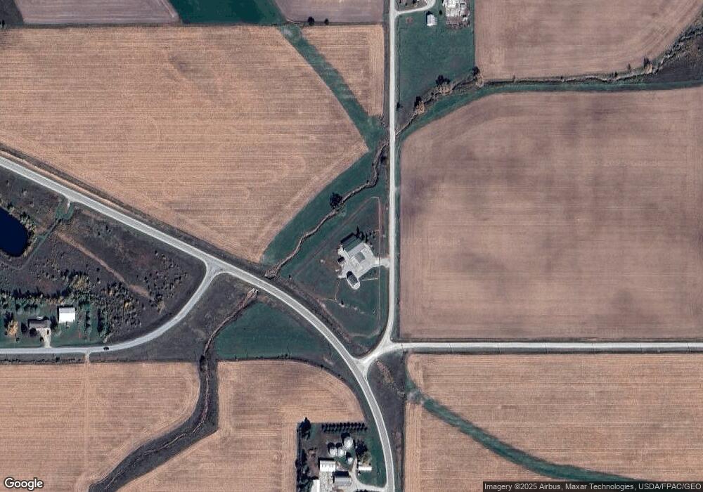
Map
Nearby Homes
- 114 Deerfield Cir Unit Whitetail Bluff Lot
- 110 Deerfield Cir Unit Whitetail Bluff Lot
- 102 Deerfield Cir Unit Whitetail Bluff Lot
- 106 Deerfield Cir Unit Whitetail Bluff Lot
- 1366 190th St
- 207 Sandcastle Ln
- 777 Cedar Glyn Dr
- 505 Tumbleweed Trail
- 509 Tumbleweed Trail
- 1608 Hillside Ave
- Lot 1B Cedar Square
- 0 Badger Ave
- XXX Badger Ave
- 207 Deerfield Cir Unit Whitetail Bluff Lot
- 1111 Fawn Hollow Unit Whitetail Bluff Lot
- 1107 Fawn Hollow Unit Whitetail Bluff Lot
- 128 Red Fox Trail
- 1109 5th St NW
- 102 9th Ave NW
- 607 10th Ave NW
- 1808 Euclid Ave
- 1769 Euclid Ave
- 1429 180th St
- 1423 180th St
- 1419 180th St
- 1848 Euclid Ave
- 1409 180th St
- 1795 Easton Ave
- 1749 Euclid Ave
- 1495 180th St
- 129 Deerfield Cir
- 125 Deerfield Cir
- 109 Deerfield Cir
- 105 Deerfield Cir
- 101 Deerfield Cir
- 122 Deerfield Cir Unit Whitetail Bluff Lot
- 1852 Euclid Ave
- 1767 Easton Ave
- 1755 Easton Ave
- 1387 180th St