1795 Samantha Ln Bourbonnais, IL 60914
Estimated Value: $368,000 - $419,000
--
Bed
--
Bath
--
Sq Ft
0.4
Acres
About This Home
This home is located at 1795 Samantha Ln, Bourbonnais, IL 60914 and is currently estimated at $398,577. 1795 Samantha Ln is a home with nearby schools including St. George Elementary School and Bradley-Bourbonnais Community High School.
Ownership History
Date
Name
Owned For
Owner Type
Purchase Details
Closed on
Mar 22, 2022
Sold by
A Olbrot Construction Inc
Bought by
Osbourne Jodeen A
Current Estimated Value
Home Financials for this Owner
Home Financials are based on the most recent Mortgage that was taken out on this home.
Original Mortgage
$331,455
Outstanding Balance
$306,300
Interest Rate
3%
Mortgage Type
FHA
Estimated Equity
$92,277
Purchase Details
Closed on
Nov 29, 2021
Sold by
Larry Power Road Development Llc
Bought by
A Olbrot Construction Inc
Create a Home Valuation Report for This Property
The Home Valuation Report is an in-depth analysis detailing your home's value as well as a comparison with similar homes in the area
Home Values in the Area
Average Home Value in this Area
Purchase History
| Date | Buyer | Sale Price | Title Company |
|---|---|---|---|
| Osbourne Jodeen A | $348,244 | Standard Title | |
| A Olbrot Construction Inc | $35,000 | Standard Title |
Source: Public Records
Mortgage History
| Date | Status | Borrower | Loan Amount |
|---|---|---|---|
| Open | Osbourne Jodeen A | $331,455 |
Source: Public Records
Tax History Compared to Growth
Tax History
| Year | Tax Paid | Tax Assessment Tax Assessment Total Assessment is a certain percentage of the fair market value that is determined by local assessors to be the total taxable value of land and additions on the property. | Land | Improvement |
|---|---|---|---|---|
| 2024 | $8,519 | $112,346 | $8,751 | $103,595 |
| 2023 | $8,285 | $104,024 | $8,103 | $95,921 |
| 2022 | $7,867 | $93,724 | $8,658 | $85,066 |
| 2021 | $14 | $160 | $160 | $0 |
| 2020 | $14 | $160 | $160 | $0 |
| 2019 | $14 | $160 | $160 | $0 |
| 2018 | $14 | $160 | $160 | $0 |
| 2017 | $15 | $160 | $160 | $0 |
| 2016 | $15 | $160 | $160 | $0 |
| 2015 | $15 | $160 | $160 | $0 |
| 2014 | $14 | $160 | $160 | $0 |
| 2013 | -- | $160 | $160 | $0 |
Source: Public Records
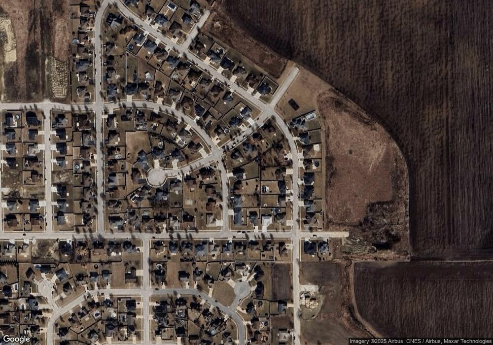
Map
Nearby Homes
- 1802 Derby Dr
- 1900 Claire Dr
- 2033 Willow Brook Dr
- 2213 Monarch St
- 2242 Crescent St
- 1548 Amhurst Way
- 608 Huntington Ct Unit 608
- 2260 Trappers Ln
- 100 Northbrooke Dr
- 2312 Monarch St
- 2329 Monarch St
- 1394 E Armour Rd
- 1372 E Armour Rd
- 1507 Noble Quest Dr
- 1078 Mallard Dr
- 641 N Jackson Ave
- 1355 N Arthur Burch Dr Unit R21
- 1355 N Arthur Burch Dr Unit F09
- 1248 Madison Ct
- 296 N Jackson Ave
- 1799 Samantha Ln
- 1862 Robert Dr
- 1803 Samantha Ln
- 1876 Willow Brook Dr
- 1874 Robert Dr
- 1868 Willow Brook Dr
- 1838 Robert Ct
- 1860 Willow Brook Dr
- 1788 Samantha Ln
- 1787 Samantha Ln
- 1886 Robert Dr
- 1869 Yorktown Dr
- 1807 Samantha Ln
- 1792 Samantha Ln
- 1881 Yorktown Dr
- 1855 Robert Dr
- 1780 Samantha Ln
- 1826 Robert Ct
- 1893 Yorktown Dr
- 1796 Samantha Ln