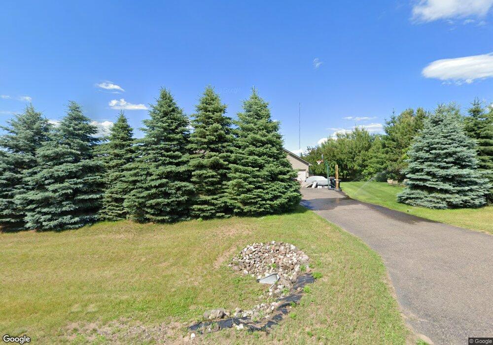
17950 221st Ave NW Big Lake, MN 55309
Estimated Value: $542,252 - $619,000
4
Beds
5
Baths
1,287
Sq Ft
$458/Sq Ft
Est. Value
About This Home
This home is located at 17950 221st Ave NW, Big Lake, MN 55309 and is currently estimated at $590,063, approximately $458 per square foot. 17950 221st Ave NW is a home located in Sherburne County with nearby schools including Liberty Elementary School, Independence Elementary School, and Big Lake Middle School.
Ownership History
Date
Name
Owned For
Owner Type
Purchase Details
Closed on
May 31, 2007
Sold by
Donais Keith H and Donais Rebecca D
Bought by
Hughes Shirley J
Current Estimated Value
Home Financials for this Owner
Home Financials are based on the most recent Mortgage that was taken out on this home.
Original Mortgage
$265,600
Outstanding Balance
$162,695
Interest Rate
6.21%
Mortgage Type
New Conventional
Estimated Equity
$427,368
Purchase Details
Closed on
May 28, 1999
Sold by
S & Z Investments Inc
Bought by
Donais Keith H and Donais Rebecca D
Create a Home Valuation Report for This Property
The Home Valuation Report is an in-depth analysis detailing your home's value as well as a comparison with similar homes in the area
Home Values in the Area
Average Home Value in this Area
Purchase History
| Date | Buyer | Sale Price | Title Company |
|---|---|---|---|
| Hughes Shirley J | $332,000 | -- | |
| Donais Keith H | $28,900 | -- |
Source: Public Records
Mortgage History
| Date | Status | Borrower | Loan Amount |
|---|---|---|---|
| Open | Hughes Shirley J | $265,600 |
Source: Public Records
Tax History Compared to Growth
Tax History
| Year | Tax Paid | Tax Assessment Tax Assessment Total Assessment is a certain percentage of the fair market value that is determined by local assessors to be the total taxable value of land and additions on the property. | Land | Improvement |
|---|---|---|---|---|
| 2025 | $5,004 | $490,300 | $156,700 | $333,600 |
| 2024 | $4,978 | $479,500 | $155,500 | $324,000 |
| 2023 | $4,946 | $478,300 | $161,600 | $316,700 |
| 2022 | $4,318 | $461,100 | $141,100 | $320,000 |
| 2020 | $4,182 | $331,100 | $79,500 | $251,600 |
| 2019 | $3,934 | $319,800 | $73,300 | $246,500 |
| 2018 | $3,762 | $303,400 | $76,900 | $226,500 |
| 2017 | $3,556 | $284,400 | $71,900 | $212,500 |
| 2016 | $3,448 | $263,800 | $66,500 | $197,300 |
| 2015 | $3,002 | $254,400 | $63,900 | $190,500 |
| 2014 | $2,968 | $241,200 | $57,900 | $183,300 |
| 2013 | -- | $229,100 | $52,200 | $176,900 |
Source: Public Records
Map
Nearby Homes
- 17663 224th Ave NW
- 22000 181st St NW
- xxxxx 185th St NW
- 17690 227th Ave NW
- 17670 227th Ave NW
- 21635 173rd St NW
- 17511 County Road 83
- 18080 233rd Ave NW
- 22315 County Road 75 NW
- 21551 Hugh Ln
- 16479 221st Ave NW
- 21469 Lena Trail
- 23218 188th St NW
- 5385 Edinburgh Way
- 21453 Lena Trail
- 18977 Kingsbarn Alcove
- 16373 226th Ave NW
- 18012 Walnut Cir
- 18050 Walnut Cir
- 18052 Walnut Cir
- 17836 221st Ave NW
- 17812 221st Ave NW
- 17937 221st Ave NW
- 17825 221st Ave NW
- 17849 221st Ave NW
- 17998 221st Ave NW
- 17801 221st Ave NW
- 17786 221st Ave NW
- 18001 221st Ave NW
- 22212 County Road 43 NW
- 17981 224th Ave NW
- 18840 180th St NW
- 17930 220th Ave NW
- 17799 221st Ave NW
- 17859 224th Ave NW
- 18012 221st Ave NW
- 17936 220th Ave NW
- 17954 220th Ave NW
- 17774 221st Ave NW
- 17759 221st Ave NW