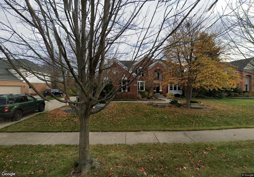
1796 Delancy Cir Canton, MI 48188
Estimated Value: $707,981 - $826,000
Studio
5
Baths
3,330
Sq Ft
$231/Sq Ft
Est. Value
About This Home
This home is located at 1796 Delancy Cir, Canton, MI 48188 and is currently estimated at $769,495, approximately $231 per square foot. 1796 Delancy Cir is a home located in Wayne County with nearby schools including Canton High School, Workman Elementary School, and Plymouth High School.
Ownership History
Date
Name
Owned For
Owner Type
Purchase Details
Closed on
May 29, 2024
Sold by
Lukas David J and Lukas Carol A
Bought by
Lukas David J and Lukas Carol A
Current Estimated Value
Purchase Details
Closed on
Apr 20, 2007
Sold by
Mcclain David L and Mcclain Diane E
Bought by
Lukas David J
Purchase Details
Closed on
Jul 27, 2001
Sold by
Pulte Land Development C
Bought by
Mcclain David L
Create a Home Valuation Report for This Property
The Home Valuation Report is an in-depth analysis detailing your home's value as well as a comparison with similar homes in the area
Home Values in the Area
Average Home Value in this Area
Purchase History
| Date | Buyer | Sale Price | Title Company |
|---|---|---|---|
| Lukas David J | -- | None Listed On Document | |
| Lukas David J | -- | None Listed On Document | |
| Lukas David J | $440,000 | Multiple | |
| Mcclain David L | $102,500 | -- |
Source: Public Records
Tax History
| Year | Tax Paid | Tax Assessment Tax Assessment Total Assessment is a certain percentage of the fair market value that is determined by local assessors to be the total taxable value of land and additions on the property. | Land | Improvement |
|---|---|---|---|---|
| 2025 | $4,234 | $329,900 | $0 | $0 |
| 2024 | $4,114 | $305,100 | $0 | $0 |
| 2023 | $3,922 | $261,200 | $0 | $0 |
| 2022 | $8,440 | $248,600 | $0 | $0 |
| 2021 | $8,109 | $237,500 | $0 | $0 |
| 2020 | $8,013 | $235,800 | $0 | $0 |
| 2019 | $7,865 | $222,320 | $0 | $0 |
| 2018 | $3,299 | $219,540 | $0 | $0 |
| 2017 | $7,891 | $215,900 | $0 | $0 |
| 2016 | $7,138 | $220,700 | $0 | $0 |
| 2015 | $18,129 | $203,190 | $0 | $0 |
| 2013 | $17,563 | $198,950 | $0 | $0 |
| 2010 | -- | $164,680 | $73,521 | $91,159 |
Source: Public Records
Map
Nearby Homes
- 2780 Denton Rd
- 985 Truman Dr
- 379 Springfield Dr
- 48318 Manhattan Cir
- 392 Lenox Dr
- 48893 Fifth Ave
- 897 Harrison St
- 464 Waterview Ct
- 3410 Niagara Ave
- 3540 Empire State Dr
- 50249 Jefferson St Unit 415
- 3571 Brooklyn Dr
- 137 Village Way
- 000 Filmore St
- 001 Filmore St
- 002 Filmore St
- 50594 Paine St
- 49712 Geddes Rd
- 370 Roosevelt St
- 51083 Meadowlands
- 1780 Delancy Cir
- 1810 Delancy Cir
- 1766 Delancy Cir
- 2135 Stanton St
- 1746 Delancy Ct
- 1826 Delancy Cir
- 2109 Stanton St
- 1809 Delancy Cir
- 1825 Delancy Cir
- 2161 Stanton St
- 1750 Delancy Cir
- 1767 Delancy Cir
- 2085 Stanton St
- 1708 Delancy Ct
- 1840 Delancy Cir
- 1841 Delancy Cir
- 2185 Stanton St
- 2061 Stanton St
- 2136 Stanton St
- 1751 Delancy Cir
Your Personal Tour Guide
Ask me questions while you tour the home.