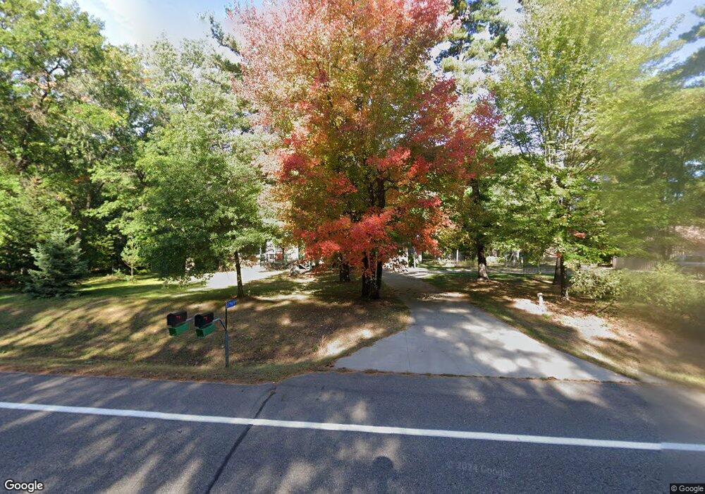
17969 Grouse Rd Little Falls, MN 56345
Estimated Value: $364,000 - $406,000
4
Beds
2
Baths
1,784
Sq Ft
$215/Sq Ft
Est. Value
About This Home
This home is located at 17969 Grouse Rd, Little Falls, MN 56345 and is currently estimated at $384,366, approximately $215 per square foot. 17969 Grouse Rd is a home located in Morrison County with nearby schools including Little Falls Senior High School and North Star Christian Academy.
Ownership History
Date
Name
Owned For
Owner Type
Purchase Details
Closed on
Oct 7, 2022
Sold by
Wilczek Thomas and Wilczek Patricia
Bought by
Evans Michael Warren
Current Estimated Value
Home Financials for this Owner
Home Financials are based on the most recent Mortgage that was taken out on this home.
Original Mortgage
$330,000
Outstanding Balance
$317,223
Interest Rate
5.89%
Mortgage Type
VA
Estimated Equity
$67,143
Purchase Details
Closed on
Oct 20, 2009
Sold by
Carel Willie Faye
Bought by
Mid Minnesota Federal Credit Union
Create a Home Valuation Report for This Property
The Home Valuation Report is an in-depth analysis detailing your home's value as well as a comparison with similar homes in the area
Home Values in the Area
Average Home Value in this Area
Purchase History
| Date | Buyer | Sale Price | Title Company |
|---|---|---|---|
| Evans Michael Warren | $330,000 | Title Group | |
| Mid Minnesota Federal Credit Union | $81,683 | None Available |
Source: Public Records
Mortgage History
| Date | Status | Borrower | Loan Amount |
|---|---|---|---|
| Open | Evans Michael Warren | $330,000 |
Source: Public Records
Tax History Compared to Growth
Tax History
| Year | Tax Paid | Tax Assessment Tax Assessment Total Assessment is a certain percentage of the fair market value that is determined by local assessors to be the total taxable value of land and additions on the property. | Land | Improvement |
|---|---|---|---|---|
| 2025 | $1,918 | $292,700 | $74,000 | $218,700 |
| 2024 | $1,792 | $258,900 | $59,000 | $199,900 |
| 2023 | $1,792 | $235,200 | $46,500 | $188,700 |
| 2022 | $1,570 | $206,100 | $46,500 | $159,600 |
| 2021 | $1,436 | $179,100 | $46,500 | $132,600 |
| 2020 | $1,394 | $451,000 | $139,500 | $311,500 |
| 2019 | $1,288 | $153,200 | $46,500 | $106,700 |
| 2018 | $1,208 | $136,900 | $46,500 | $90,400 |
| 2017 | $1,164 | $129,000 | $46,500 | $82,500 |
| 2016 | $1,024 | $0 | $0 | $0 |
| 2014 | $1,226 | $0 | $0 | $0 |
| 2013 | $1,226 | $0 | $0 | $0 |
Source: Public Records
Map
Nearby Homes
- 17639 Gayle Dr
- 14695 Prairie Dr
- Lot 26 Edmund St
- Lot 25 Edmund St
- Lot 23 Edmund St
- Block 2 Lot 2 Weston Cir
- Block 3 Lot 1 Weston Cir
- Lot 21 Grace Ln
- Block 3 Lot 2 Weston Cir
- Block 2 Lot 3 Weston Cir
- 14978 Taylor Dr
- Block 3 Lot 5 Weston Cir
- Lot 19 Walker Ln
- 14970 Mary Beth Ln
- Lot 12 Weston Cir
- Lot 18 Walker Ln
- Lot 17 Walker Ln
- 14755 Ryan St
- 18791 Grouse Rd
- 14535 Park Ave
- 00000 Grouse Rd
- 14429 180th St
- 17895 Grouse Rd
- 14373 180th St
- 17849 Grouse Rd
- 14337 180th St
- 18082 Grouse Rd
- 17843 Grouse Rd
- 14255 180th St
- 17831 Grouse Rd
- 14179 180th St
- 17737 Grouse Rd
- 14131 180th St
- 14086 180th St
- 17665 Grouse Rd
- 18114 140th Ave
- XXX Gayle Dr
- 17763 Gayle Dr
- 17781 Gayle Dr
- 17699 Gayle Dr